 MapUrbex
A practical guide to using OpenStreetMap and useful map layers for urbex planning, safer site reading, and responsible trip preparation.
OpenStreetMap and Urbex: Which Layers Help You Prepare a Visit Responsibly?
OpenStreetMap can be very useful for urbex preparation, but only if you use it for the right job. It is strong for reading the surroundings of a place: roads, footpaths, terrain, rail lines, land use, and nearby services.
It is not a legality tool, and it is not proof that a site is safe or accessible. For responsible urbex, OpenStreetMap works best as a planning layer alongside recent checks and a curated source such as MapUrbex.
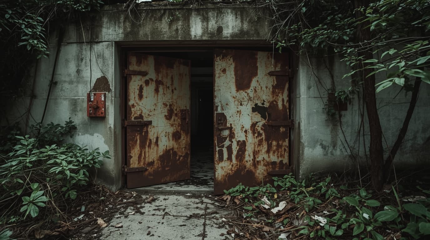
What are the most useful OpenStreetMap layers for urbex planning?
The most useful OpenStreetMap layers for urbex planning are building footprints, paths and tracks, terrain or contour layers, land-use layers, rail and water features, and public transport context. Together, they help you estimate approach distance, visibility, elevation change, and surrounding activity from public space. They do not grant access or confirm that entry is legal, open, or safe.
Quick summary
- OpenStreetMap is best for context, not permission.
- Building, path, terrain, land-use, rail, and water layers are the most practical for preparation.
- Good map reading reduces wasted trips and helps you stay on public or permitted routes.
- OSM data can be old or incomplete, so every plan needs a recent cross-check.
- Verified urbex maps save time because they filter out places that are demolished, reused, or sealed.
Quick facts
- Best use: approach planning and area analysis
- Weak point: legal status and current site condition
- Most useful moment: before the trip, not at the door
- Safer workflow: curated map + OSM layers + recent local verification
- MapUrbex focus: verified locations, preservation-first, responsible exploration
Why does OpenStreetMap matter for urbex preparation?
OpenStreetMap matters because many urbex trips fail before the visit even starts. People misread distance, ignore terrain, underestimate nearby activity, or arrive without understanding where public access ends. OSM helps reduce those errors.
In practice, it gives a clearer sense of the environment around a location. You can see whether a site sits inside an industrial zone, near active housing, beside a rail corridor, or behind water or steep ground. That context is often more useful than a simple pin on a map.
For broader planning, you can Browse all urbex maps to compare curated locations with the surrounding map context.
Which OpenStreetMap layers are actually useful for responsible urbex planning?
The useful layers are the ones that explain context and movement. The table below shows what they are good for and where they can mislead you.
| Layer | Why it helps | Main limitation |
|---|---|---|
| Building footprints | Shows site size, layout, annexes, and courtyards | Does not confirm vacancy, condition, or access |
| Paths and tracks | Helps estimate walking approach and public-route options | A mapped path may be overgrown, closed, or private |
| Terrain or contours | Reveals slopes, embankments, cuttings, and drainage | Not every map displays terrain the same way |
| Land use | Indicates industrial, residential, forest, agricultural, or military context | Land use can change faster than edits are made |
| Rail features | Helps identify active corridors and barriers to avoid | Old spurs can look similar to active lines |
| Water features | Shows canals, rivers, ditches, and flood-prone edges | Seasonal conditions are not always visible |
| Public transport | Useful for low-profile arrival and exit planning | Service patterns may have changed |
How do building footprints and land-use layers help with site reading?
Building footprints help you read the shape of a place before you see it in person. Large sheds, attached offices, courtyards, service lanes, and secondary structures all change how a site relates to the street and how visible it is from public space.
Land-use layers add the missing context. A detached warehouse next to active homes is very different from an isolated ruin in a declining industrial belt. For responsible urbex, that difference matters because visibility, community impact, and legal sensitivity all change with the surroundings.
This is also why abandoned locations disappear so quickly from a usable route plan. Closures, redevelopment, and sealing happen fast, as shown in Abandoned Places That Disappeared in 2025: Demolished, Reused, or Sealed.
How do paths, tracks, and terrain layers improve safety?
Paths, tracks, and terrain layers improve safety by helping you plan the approach before you travel. They show whether the last kilometer is flat or steep, whether there are obvious public rights of way, and whether water, embankments, or cuttings make the area harder to leave quickly.
That does not mean every mapped route is usable. A path can be muddy, blocked, private, or erased by vegetation. Still, reading the terrain early helps you avoid simple planning mistakes, especially in large rural sites, quarries, forts, bunkers, and hilltop complexes.
Safety reminder: map reading should help you avoid risky situations, not justify entering restricted or dangerous property. If access is unclear, stay outside and do not force entry.
Can OpenStreetMap tell you whether a place is legal to access?
No. OpenStreetMap can describe geography, but it does not grant permission and it should not be used as proof of legal access.
A mapped track is not automatically public. A building outline does not mean a structure is abandoned. An old industrial parcel may now be active, monitored, reused, or sealed. Legal status depends on local rules, ownership, closures, and current use.
For that reason, responsible urbex planning separates three questions:
- Where is the site in the landscape?
- What does the approach look like from public space?
- Is access legal and safe?
OSM helps with the first two. It cannot answer the third on its own.
How should you cross-check OpenStreetMap before an urbex outing?
The best cross-check is recent, local, and specific. Start with a curated source, then verify whether the site still exists, whether the surroundings have changed, and whether there are clear reasons not to go.
A simple workflow looks like this:
- Use a verified location source first
- Read OSM layers for roads, paths, terrain, rail, and land use
- Check whether demolition, reuse, or sealing is likely
- Plan only public or permitted viewpoints and routes
- Drop the visit if legality or safety remains uncertain
If you are building a shortlist, Access the free urbex map is a practical starting point.
When is a curated urbex map better than OpenStreetMap alone?
A curated urbex map is better when your goal is efficiency and verification. OpenStreetMap is excellent at environment reading, but it is not designed to tell you whether a place is still relevant for urbex today.
MapUrbex focuses on verified locations, preservation-first practice, and route planning that respects closures and local sensitivity. That makes it useful for avoiding wasted trips to sites that are gone, converted, watched closely, or no longer appropriate to visit.
If you prefer themed inspiration rather than raw searching, examples such as Urbex Castles and Abandoned Manors: 12 Places Worth Visiting Responsibly or Urbex Canada: Top 10 Abandoned Places to Explore in Montreal, Quebec, and Beyond show how curated research saves time.
What mistakes should you avoid when using map layers for urbex?
The main mistake is treating one layer as truth. OSM is community-edited, so accuracy varies by place and by feature.
Other common mistakes include:
- Confusing mapped paths with public access rights
- Assuming a large footprint means a site is abandoned
- Ignoring elevation and drainage
- Not checking for nearby active housing or businesses
- Planning around old information after a demolition wave
- Using maps to rationalize trespassing
The best habit is conservative interpretation. If the map raises doubt, take that doubt seriously.
Frequently asked questions
Is OpenStreetMap enough on its own for urbex?
No. It is a strong planning tool, but not a complete decision tool. It lacks reliable, current answers about legality, sealing, security, and on-site condition.
Which OpenStreetMap layer is best for spotting abandoned sites?
No single layer can reliably identify abandonment. Building footprints and land use can suggest context, but abandonment status requires recent verification.
How often is OpenStreetMap updated?
OpenStreetMap can be updated quickly in active areas, but update speed depends on local contributors. Some places are very current; others lag behind real-world changes.
Can a map show whether a building is sealed or dangerous?
Usually not. A map may show the shape and setting of a site, but sealing, structural failure, asbestos, and security changes often require more recent information.
Should beginners use verified urbex maps?
Yes. Beginners benefit from verified, curated maps because they reduce guesswork and make it easier to focus on legality, preservation, and safer planning.
Conclusion
OpenStreetMap and urbex work well together when the map is used for what it does best: reading terrain, routes, and context. The most useful layers are the ones that help you judge distance, visibility, and surrounding activity before you travel.
But OpenStreetMap is only one part of responsible preparation. It cannot replace permission, up-to-date verification, or good judgment. The safest workflow is simple: use curated data first, confirm recent changes, and never force access.
Access the free urbex map
