 MapUrbex
Learn how to verify an urbex spot still exists before you go using maps, recent imagery, scouting checks, and legal, safety-first planning.
How to Verify an Urbex Spot Still Exists Before You Go
Checking whether an abandoned place still exists is one of the most important parts of trip planning. Old forum posts, recycled social media images, and outdated lists can send you to a sealed, demolished, or repurposed site.
A reliable verification process saves time, reduces legal and safety issues, and supports more responsible urbex. The goal is not just to find a place, but to confirm its current status before you travel.
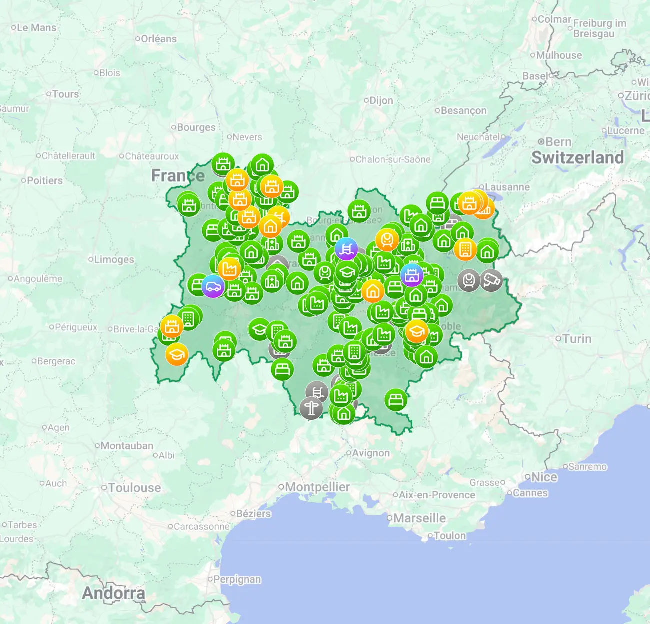
How can you verify that an urbex spot still exists before you go?
To verify that an urbex spot still exists, combine three checks: recent visual evidence, current location data, and up-to-date access context. In practice, that means checking a curated urbex map, comparing recent satellite or street-level imagery, and looking for signs of demolition, reuse, sealing, or active security before planning the trip.
Quick summary
- Never rely on a single source, especially an old photo set or forum post.
- Recent imagery, recent explorer reports, and a curated map are the most useful combination.
- A site can still stand but no longer be visitable because it is sealed, reused, or closely monitored.
- Public planning records and local news often reveal demolition or redevelopment before explorers do.
- Responsible scouting means verifying from home first and respecting ownership, signage, and safety rules.
- A backup location prevents wasted travel when a spot has changed.
Quick facts
- Best verification window: evidence from the last 3 to 12 months.
- Most common status changes: demolition, conversion, sealing, fire damage, tighter security.
- Most reliable method: cross-check at least three independent sources.
- Minimum trip planning kit: map notes, legal status check, backup spot, daylight arrival plan.
- Safety reminder: never force entry and never trespass on restricted property.
Which signs show that an abandoned place may no longer be visitable?
The clearest warning signs are redevelopment, sealing, demolition, and active control of the perimeter. A place may still appear abandoned online while being structurally altered or legally inaccessible in reality.
Watch for these signals during urbex scouting:
- Recent fencing, gates, fresh boarding, or welded entry points
- Construction vehicles, cleaned grounds, or new lighting
- Real estate listings or redevelopment notices
- Satellite imagery showing roof removal, debris piles, or cleared land
- Street-level images that no longer match older explorer photos
- Repeated reports that security, neighbors, or site management are present
If two or more of those signals appear, treat the location as changed until you confirm otherwise.
Why is a curated urbex map more reliable than old spot lists?
A curated urbex map is usually more reliable because it organizes current location data, verification notes, and spot status in one place instead of relying on fragmented posts. Old lists often survive online long after a place has disappeared.
MapUrbex focuses on verified locations, responsible discovery, and preservation-first trip planning. If you want a current reference point, start with Browse all urbex maps or use the free option below.
Access the free urbex map
For context on how quickly places change, see Abandoned Places That Disappeared in 2025: Demolished, Reused, or Sealed.
How should you do an urbex scouting check from home?
The safest first step is to do your urbex scouting from home using recent and cross-checked sources. This reduces wasted travel and helps you avoid arriving at a site that is closed or no longer there.
A practical home verification workflow looks like this:
- Check the spot on a curated map and read any status notes.
- Compare the latest satellite view with older imagery when available.
- Look for public street-level images near the perimeter.
- Search recent posts, trip reports, and date-stamped photo sets.
- Check local news for fires, demolition, redevelopment, or police incidents.
- Review ownership, business activity, or permit clues visible in public records.
- Save a backup spot in the same area.
This step is especially useful when you want to prepare an urbex trip efficiently rather than chase uncertain coordinates.
Which online sources are most useful for verifying a place?
The best sources are the ones that show change over time. No single source is enough, but several partial sources together can confirm whether an abandoned spot is still worth planning around.
| Source | What it can confirm | Main limitation |
|---|---|---|
| Curated urbex map | Approximate status, category, scouting notes | Needs regular updates |
| Recent satellite imagery | Building footprint, demolition, roof collapse, cleared land | Dates can lag behind reality |
| Street-level imagery | Perimeter condition, fencing, signage, visibility | May be old or unavailable |
| Local news | Fire, redevelopment, closure, legal action | Not every change is reported |
| Recent explorer reports | On-the-ground status, security changes, sealing | Can be incomplete or exaggerated |
| Planning or permit records | Demolition, reuse, works in progress | Harder to interpret in some regions |
When several sources point in the same direction, your confidence level rises. When sources conflict, assume the spot needs further checking.
How do you confirm whether access has changed without taking risks?
You confirm access changes by checking public information first and limiting any in-person confirmation to lawful public vantage points. If fences, signage, or active works suggest a changed status, the responsible choice is to stop there.
Use this rule: existence and accessibility are not the same thing. A building may still stand but be sealed, occupied, under renovation, or actively protected.
Responsible urbex starts with restraint. Do not force entry, bypass barriers, damage property, or ignore posted restrictions.
If you decide to do a final field check, keep it simple:
- Arrive in daylight.
- Stay on public roads or clearly lawful viewpoints.
- Observe the perimeter without crossing barriers.
- Leave immediately if the site is active, occupied, or unsafe.
What should you prepare if the site is closed, reused, or demolished?
You should plan for change before you leave, not after you arrive. The best backup plan is another verified location or a non-entry photography alternative nearby.
Useful fallback options include:
- A second verified spot on the same route
- An exterior-only photography plan
- A heritage or industrial landscape walk from public space
- A full cancellation if the legal or safety context is unclear
This is where a map-based workflow helps most. Instead of depending on one abandoned place, you can compare multiple options through Browse all urbex maps.
If you want inspiration for responsible trip planning, you can also read Urbex Canada: Top 10 Abandoned Places to Explore in Montreal, Quebec, and Beyond and Urbex Castles and Abandoned Manors: 12 Places Worth Visiting Responsibly.
FAQ
How recent should proof be before I trust an urbex location?
As a rule, try to find proof from the last 3 to 12 months. In fast-changing urban areas, even three-month-old information can be outdated if redevelopment is underway.
Is satellite imagery enough to verify an abandoned place?
No. Satellite imagery is useful for confirming whether a structure still stands, but it rarely shows sealing, security, occupancy, or legal access changes. Use it with recent reports and map notes.
What if a spot still exists but is sealed?
A sealed location still counts as changed. If entries are boarded, welded, or actively protected, do not treat the place as a viable visit. Update your plan and choose another verified option.
Can social media confirm whether a spot is still there?
Only partially. Social media can help if posts are recent, clearly dated, and consistent with other evidence. Reposted images and old reels are a common cause of false verification.
Should I share a precise address publicly once I verify a place?
Not usually. Publicly broadcasting precise access details can accelerate vandalism, theft, sealing, and closure. Preservation-first sharing is more responsible.
Conclusion
If you want to verify that an urbex spot still exists, the best method is simple: cross-check recent evidence, use a curated urbex map, and separate the question of existence from the question of access. That approach saves time and supports safer, more responsible exploration.
A good urbex trip starts before you leave home. Verify the place, respect the law, protect the location, and keep a backup plan ready.
Access the free urbex map
