 MapUrbex
Learn how to open an urbex map on iPhone, including GPX files, Google My Maps, and the best iOS options for offline use.
How to Open an Urbex Map on iPhone
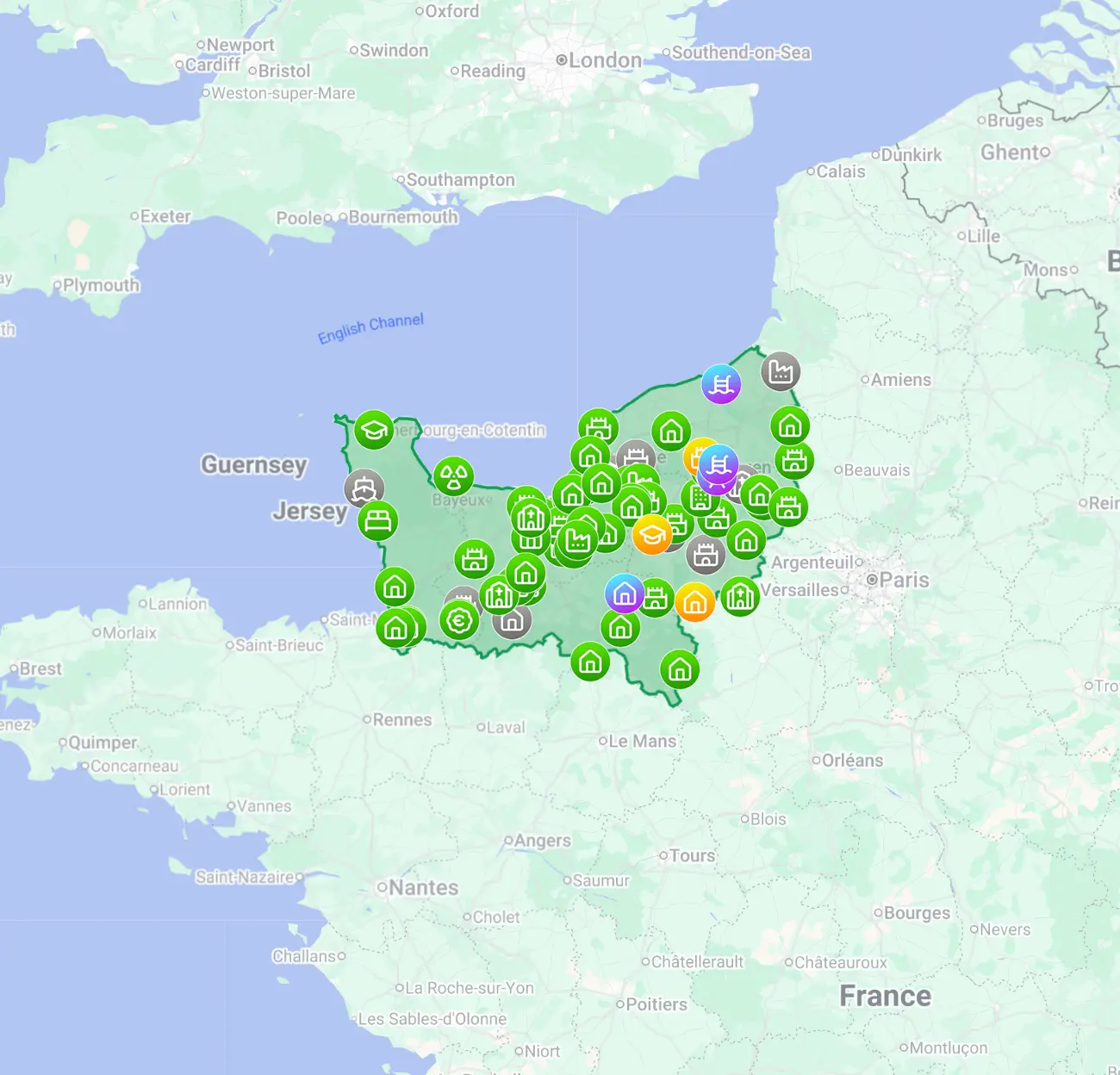
Opening an urbex map on iPhone is straightforward once you identify the map format. In practice, most files come as a web map, a Google My Maps link, or a GPX file that must be imported into an iOS-compatible app.
The important part is not only opening the map, but using it reliably and responsibly. MapUrbex focuses on verified locations, curated maps, and preservation-first exploration, so the goal is always better planning rather than risky or unlawful access.
How do you open an urbex map on iPhone?
To open an urbex map on iPhone, first check whether it is a web link, a Google My Maps map, or a GPX file. Web maps open in Safari, Google My Maps usually works best from its shared link in a browser, and GPX files must be imported into a compatible iOS mapping app. For field use, save the file in advance and confirm offline access before leaving.
Quick summary
- A web-based urbex map usually opens directly in Safari on iPhone.
- A GPX file does not open well on its own and normally needs a compatible iOS map app.
- Google My Maps can be viewed on iPhone, but the shared browser link is often more reliable than relying on app behavior.
- Offline access matters if you explore in low-signal areas.
- A curated map is more useful than a random pin dump because context, status, and verification matter.
- An urbex map never replaces local law, property rights, or basic safety checks.
Quick facts
| Map format | Best way to open it on iPhone | Offline friendly | Main limitation |
|---|---|---|---|
| Web map | Safari or another browser | Sometimes | Depends on the site |
| GPX | Import into a GPX-compatible iOS app | Yes, often | Needs an app |
| Google My Maps | Open the shared link in browser | Limited | Browser experience varies |
| KML or KMZ | Open with a supporting app or convert first | Sometimes | Native support is inconsistent |
Which map formats work best on iPhone?
The most practical formats for iPhone are web maps and GPX files. Web maps are easiest to open, while GPX files are usually better for offline use and waypoint-based navigation.
If someone sends you a direct map link, Safari is normally enough. If they send a GPX file, save it to the Files app and import it into a mapping app that supports tracks and waypoints. KML and KMZ files can also work, but support is less consistent on iOS, so they are not always the smoothest option.
For urbex planning, GPX is often the most reliable format because it keeps coordinates structured and portable. For quick viewing, a browser map is simpler.
How do you open a GPX file on iPhone?
The standard method is to save the GPX file to Files and then import it into an app that supports GPX on iPhone. Without that import step, the file may open as plain data instead of a usable map.
Use this process:
- Download the GPX file on your iPhone.
- Save it to the Files app if it opened from Mail, Messages, or Safari.
- Tap the file and choose the share or open option.
- Select a compatible iOS mapping or GPX viewer app.
- Import the file and confirm that waypoints, tracks, or folders display correctly.
- Download offline base maps if you may lose signal.
This is the simplest answer to the query open GPX file on iPhone. The file itself is not the map interface. It is the data source that the app reads.
A good final check is to switch your phone to airplane mode for a moment and verify that the map still appears. That quick test tells you whether the setup will still work on site.
How do you open a Google My Maps urbex map on iPhone?
The safest method is to open the shared Google My Maps link directly in Safari or Chrome on your iPhone. That usually displays the custom layers more reliably than trying to guess where they will appear inside the standard Google Maps app.
If the map owner shared the map properly, the browser view should load the pins, labels, and basic structure. On some setups, signing in with the same Google account can help. Even then, Google My Maps on iPhone is better for viewing than for heavy field navigation.
If you plan to use a My Maps layer outdoors, check three points first:
- Does the map open without errors on mobile?
- Are the pins readable when zoomed in?
- Do you still have enough mobile signal in the target area?
If the answer to any of those is no, a GPX-based workflow is often better.
Which iOS app is best for an urbex map?
The best iOS app depends on the file type and the way you use the map. For simple consultation, a browser may be enough. For navigation, saved waypoints, and offline use, a GPX-compatible mapping app is usually the better choice.
In practical terms:
- Use Safari for a web-based urbex map.
- Use the shared browser link for Google My Maps on iPhone.
- Use a GPX-capable iOS app when you need offline access, imported routes, or structured waypoints.
When comparing an application carte urbex iOS option, the most useful features are offline maps, clear waypoint display, folder support, and easy import from Files. Fancy design matters less than fast loading and dependable offline behavior.
Why is a curated urbex map better than a random pin list?
A curated urbex map is better because location data without context can be misleading, outdated, or unsafe. Verification, categorization, and responsible editorial review make the map more usable and more trustworthy.
That is the logic behind MapUrbex. Instead of pushing blind coordinates, the platform emphasizes verified locations, preservation-first use, and clearer planning. If you want to compare options, you can Browse all urbex maps or Access the free urbex map.
You can also see how map-based research supports destination planning in city guides such as Urbex in Lille: Guide to Abandoned Places in and Around the City and Urbex Marseille: Guide to Abandoned Places in Marseille and Nearby.
What should you check before using an urbex map in the field?
Before using any urbex map in the field, confirm legality, safety, battery level, and offline readability. An iPhone map is useful only if the information remains accessible and the trip stays within legal and safe limits.
Use this checklist:
- Confirm whether the place is private, restricted, active, or dangerous.
- Never force entry, bypass barriers, or trespass.
- Download the map before departure if the area has poor coverage.
- Bring enough battery or an external power bank.
- Keep emergency navigation available in case the custom map fails.
- Respect the site and leave no trace.
A map helps with orientation. It does not create permission. Responsible urbex always comes before curiosity.
FAQ
Can I open a GPX file on iPhone without a special app?
Usually no. An iPhone can store the GPX file in Files, but you normally need a compatible app to turn that data into a usable map view.
Does Google My Maps work well on iPhone?
Yes, for basic viewing. On iPhone, Google My Maps usually works best from the shared browser link. It is less ideal for robust offline field navigation.
What is the easiest urbex map app setup on iOS?
The easiest setup is a browser map for quick viewing and a GPX-compatible app for offline use. That combination covers both planning and on-site backup.
Is an urbex map the same as permission to enter a place?
No. A map only shows information. It never grants access rights, and it never overrides local law, private property, or safety restrictions.
Should I rely only on my iPhone map during an exploration day?
No. It is smarter to keep a backup plan, enough battery, and standard navigation available. Mobile signal, app behavior, and file imports can fail.
Conclusion
If you want to open an urbex map on iPhone, the key step is identifying the format first. Web maps open in Safari, Google My Maps usually works from its shared link, and GPX files need a compatible iOS app.
For the best result, test everything before departure, prepare offline access, and use curated information rather than random coordinates. That approach is more efficient, safer, and more aligned with responsible urbex.
Access the free urbex map
