 MapUrbex
Looking for the best urbex map in 2026? This comparison explains how to evaluate abandoned place maps, free urbex apps, and curated verified mapping tools.
Best Urbex Map in 2026: Comparing Abandoned Place Maps
Choosing the best urbex map in 2026 is less about the largest number of pins and more about reliability. A useful map of abandoned places should help you discover locations efficiently while reducing dead ends, outdated spots, and unsafe planning mistakes.
That is why serious explorers increasingly prefer curated tools over random public pinboards. Verification, recent checks, and preservation-first guidance matter more than raw volume.
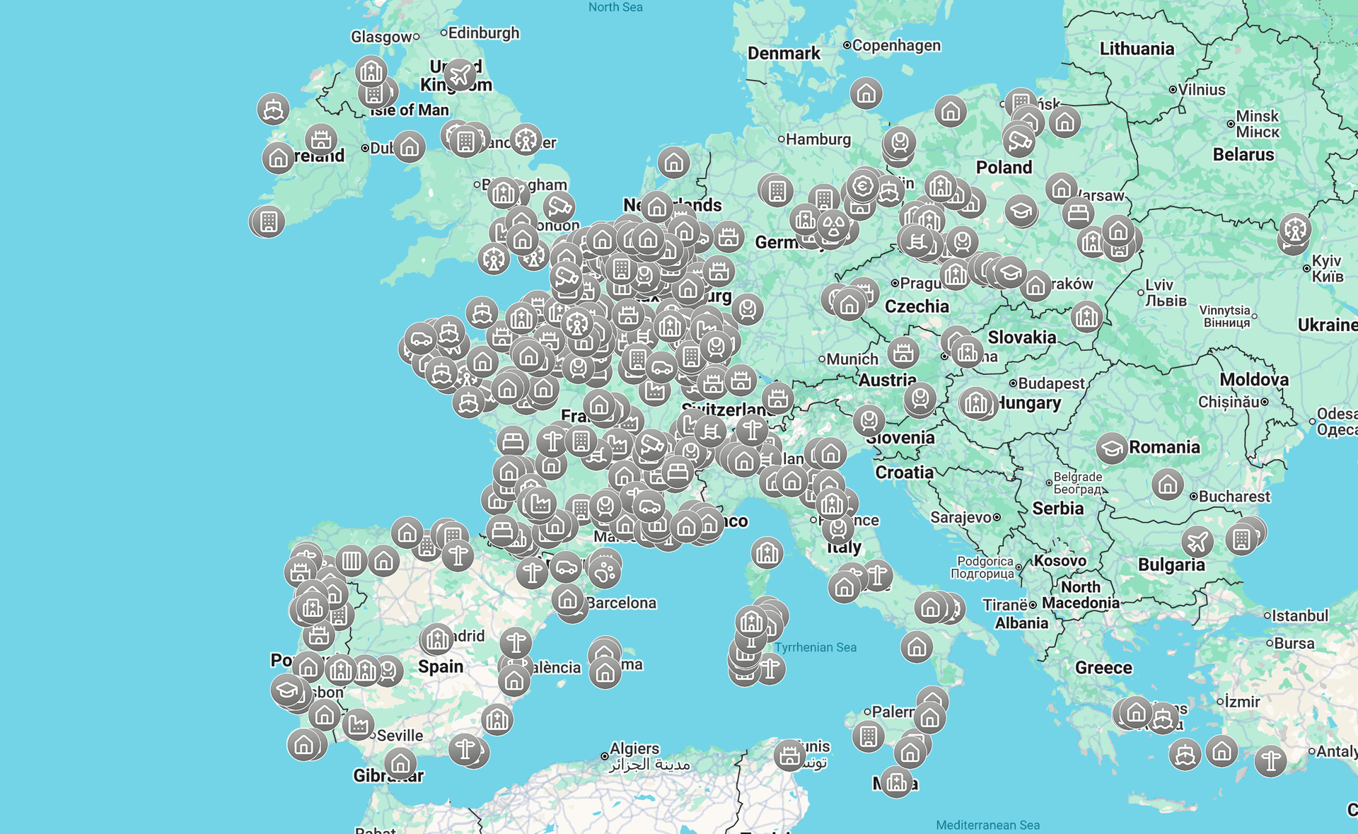
What is the best urbex map in 2026?
The best urbex map in 2026 is a curated abandoned place map that combines broad coverage with verified locations, recent updates, useful filters, and responsible exploration guidance. For most users, that makes a verification-first platform such as MapUrbex more practical than a huge but unverified community pin map.
Quick summary
- The best abandoned place map is usually the most reliable one, not the biggest one.
- Verified locations and update recency matter more than total pin count.
- A good urbex app should include filters, clear categories, and planning context.
- Free maps are useful for discovery, but curated maps are usually better for accuracy.
- Public coordinate dumps often become outdated quickly.
- Responsible urbex always requires legal checks, site respect, and no forced access.
Quick facts
- Best overall approach: use a curated, verification-first urbex map.
- Best for beginners: start with a free map, then cross-check with guides.
- Best signal of quality: visible freshness, not vague popularity.
- Best planning workflow: map first, local guide second, legal check before any visit.
- Legal reminder: a listed place is not the same as permission to enter.
Which criteria actually matter in a comparatif cartes urbex?
The most important comparison criteria are reliability, update freshness, filtering, location context, and responsible-use signals. If a map cannot tell you whether a place is still standing, easy to identify, or recently checked, its size matters much less.
| Map type | Coverage | Reliability | Update pattern | Best use |
|---|---|---|---|---|
| Open community pin maps | Often broad | Low to mixed | Irregular | Casual browsing |
| Generic map apps | Very broad | Low for urbex-specific data | Not urbex-focused | Basic geographic orientation |
| Local guide articles | Narrow but useful | Medium | Depends on publisher | City-level planning |
| Curated verified urbex maps | Selective but practical | High | Structured | Real trip preparation |
A strong comparatif cartes urbex should also check whether the tool distinguishes between demolished sites, inaccessible sites, and places that are still worth researching.
Why do many abandoned place maps become unreliable?
Many abandoned place maps become unreliable because abandoned sites change fast. Buildings are demolished, secured, renovated, repurposed, or misidentified. A pin that was useful a year ago may now waste a full day.
Another problem is source quality. Open maps often mix firsthand visits, rumors, social media reposts, and copied coordinates. Without verification, duplicates and false positives accumulate.
This is why the best map of abandoned places in 2026 should show curation logic. Users need signals that a location was checked, classified correctly, and added for practical discovery rather than for viral sharing.
How does a curated urbex map compare with a collaborative map?
A curated urbex map usually trades quantity for usability. A collaborative map may have more pins, but a curated map is more likely to save time because the entries are filtered, organized, and reviewed.
In practice, curated maps are better for people who want to plan efficiently. Collaborative maps are better for broad idea generation when accuracy is not critical.
MapUrbex follows the curated model. That fits explorers who want verified locations, preservation-first discovery, and a clearer research workflow.
Which features should the best abandoned place map include in 2026?
The best abandoned place map in 2026 should include enough context to support decision-making before any trip. A pin alone is not enough.
Look for these features:
- Verified or reviewed locations
- Clear categories such as factory, hospital, villa, or military site
- Region or country filters
- Visible status clues such as recent checks or archive notes
- Search tools that reduce noise
- A mobile-friendly urbex app experience
- Responsible-use guidance that does not encourage trespass or damage
If a tool has no filtering and no quality signals, it behaves more like a rumor board than a mapping product.
Is a free urbex map enough for most users?
A free urbex map is enough for broad discovery, especially for beginners. It helps users understand regional density, identify patterns, and build a shortlist.
However, free tools are often less curated than premium or tightly managed maps. For serious planning, users usually need better filters, fresher listings, or supporting research.
If you want a starting point, you can Access the free urbex map. If you want a wider overview of the catalog, Browse all urbex maps.
How should you use an urbex app responsibly?
An urbex app should support safer, more respectful research rather than impulsive visits. Good planning reduces wasted trips and discourages risky behavior.
Use these rules:
- Respect property law and local restrictions.
- Never force entry or bypass barriers.
- Do not vandalize, steal, or reveal sensitive details carelessly.
- Avoid unstable structures, exposed shafts, and contaminated areas.
- Leave sites as found and prioritize preservation.
A responsible map is not just a database. It shapes better explorer behavior.
Where can you learn more before planning a trip?
If you are comparing tools, it also helps to read destination guides and research methods. Start with How to Find Abandoned Places Near You for the search process.
For city-level examples, see Urbex in Lille: Guide to Abandoned Places in and Around the City and Saint-Étienne Urbex Guide: Abandoned Places and Urban Exploration Around the City.
Those guides are useful because the best application urbex workflow is rarely map-only. Good planning combines a map, local context, and a safety check.
FAQ
Is a verified location the same as legal permission?
No. Verification means the place was checked as a relevant abandoned location. It does not mean you have permission to enter, park, photograph, or cross restricted areas.
What makes an urbex map better than a generic map app?
A dedicated urbex map adds abandoned-place context. That includes classification, discovery relevance, and curation signals that a generic navigation app does not provide.
How often should a good urbex map be updated?
There is no universal schedule, but freshness should be visible. A good map should make it easier to spot whether information is recent enough to trust.
Should coordinates of abandoned places be shared publicly?
Not blindly. Public sharing can accelerate vandalism, theft, and site closure. Preservation-first communities prefer selective, responsible disclosure.
Is the biggest map always the best map of abandoned places?
No. A smaller map with stronger verification is often more useful than a larger map filled with duplicates, demolished sites, or vague pins.
Conclusion
The best urbex map in 2026 is the one that helps you make better decisions, not the one that simply shows the most dots. Reliability, filtering, responsible use, and verification are what separate a practical map from an outdated list.
For most users, the best choice is a curated tool that treats abandoned place data as something to maintain carefully. That is the core advantage of MapUrbex.
Access the free urbex map
