 MapUrbex
Learn how an abandoned places map with instant access works, what it includes, and why a curated urbex map can save research time.
Abandoned Places Map with Instant Access: How It Works
Finding usable urbex information is usually slow. You jump between forums, maps, old blog posts, and videos, then still need to verify whether a place is still worth researching.
A curated abandoned places map with instant access solves that problem. Instead of starting from scattered clues, you open a structured urbex map immediately and focus on planning, legality, and safety.
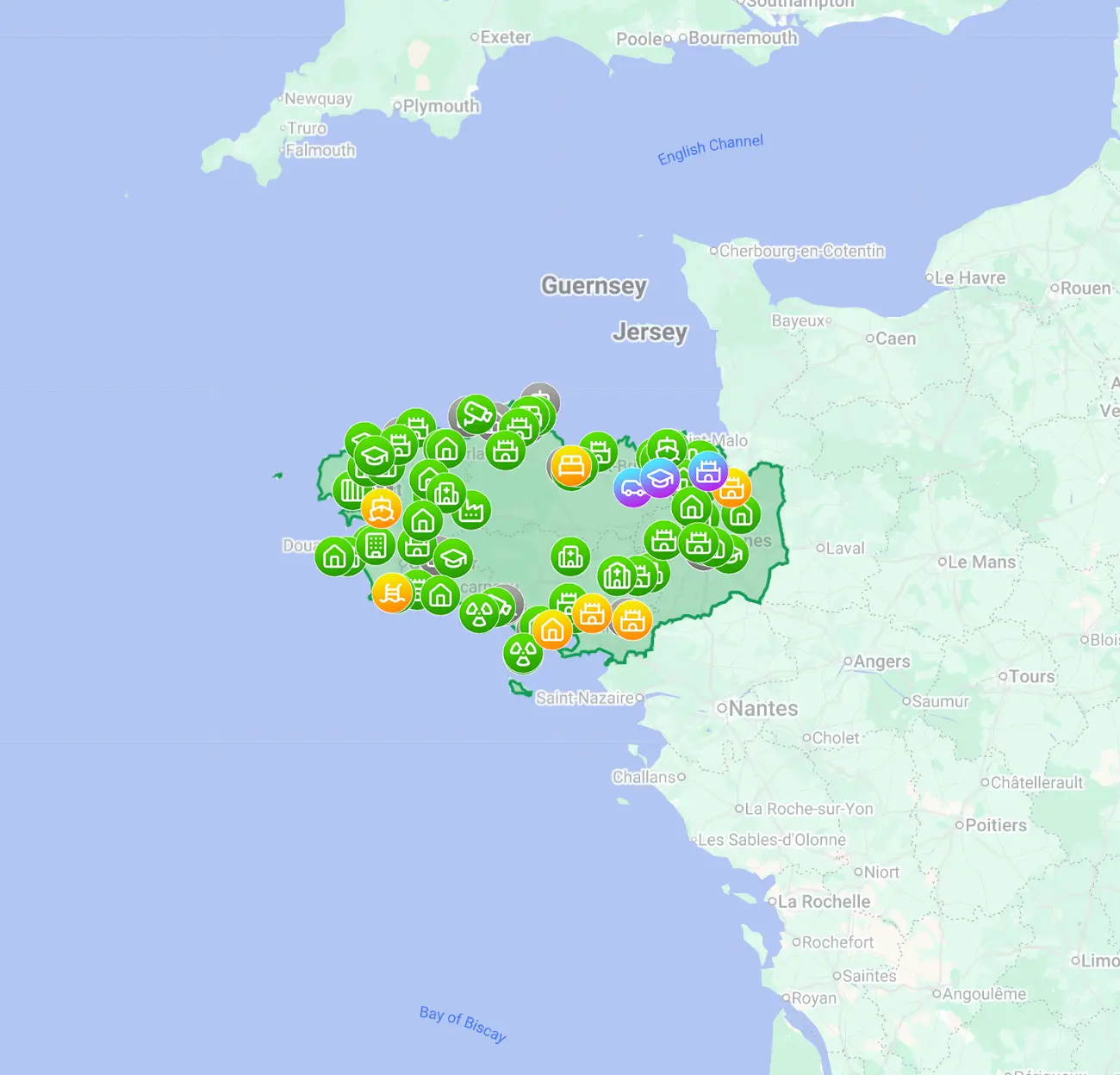
What is an abandoned places map with instant access?
An abandoned places map with instant access is a digital urbex map you can open right away after unlocking it online. The goal is speed and clarity: instead of collecting random pins yourself, you get a curated set of locations, organized data, and a usable starting point immediately. Instant access saves research time, but it does not remove the need to check legality and on-site conditions.
Quick summary
- Instant access means the map is available immediately, without waiting for manual delivery.
- A good urbex map is curated, readable, and more useful than scattered social posts.
- Verified locations help reduce wasted trips, but they never guarantee legal entry or current accessibility.
- The best use case is faster pre-trip research, not reckless exploration.
- MapUrbex focuses on verified locations, responsible urbex, and preservation-first discovery.
Quick facts
| Topic | Key point |
|---|---|
| Product type | Digital urbex map |
| Main benefit | Faster research and clearer location organization |
| Access model | Immediate online access after activation |
| Best for | Travelers, photographers, and explorers who want structured data |
| Safety rule | Never force entry, trespass, or ignore local law |
| Good starting point | A free map plus local verification |
How does instant access work?
In practical terms, instant access means the map opens as soon as it is unlocked online. You do not need to wait for a manual message, a forum reply, or a private exchange before you can start reviewing locations.
That matters because urbex research is usually fragmented. A curated map reduces the time spent collecting basic leads. You can move faster from discovery to evaluation: region, likely interest, route planning, and whether a location even deserves a closer look.
Instant access is mainly about workflow. It is useful when you are planning a trip, comparing regions, or building a shortlist for a photo session. It is less about urgency and more about removing unnecessary friction.
If you want to compare formats, start with Browse all urbex maps or test the concept with Access the free urbex map.
Why is a curated urbex map better than random internet lists?
A curated urbex map is better because it organizes information in one place and applies selection standards. Random lists often mix closed sites, vague rumors, duplicate locations, and outdated tips.
That difference matters because most people do not just want names of abandoned places. They want places that are worth researching, placed on a usable map, and presented with enough context to judge whether a visit is realistic.
A strong map usually helps with:
- reducing duplicate research
- comparing locations across regions
- identifying stronger photo potential
- filtering low-value leads
- keeping exploration more deliberate and less impulsive
Curated does not mean risk-free. Conditions change. Ownership changes. Fences appear. Renovation starts. Responsible urbex always includes a final legality and safety check before you go.
What information should a good urbex map include?
A good urbex map should include enough context to support decisions, not just enough to create excitement. The best maps are practical first and sensational second.
Useful map data often includes:
- approximate or exact location data, depending on the map
- location category
- current verification status
- visual preview or brief description
- notes on condition or closure risk
- regional organization for route planning
MapUrbex is built around verified locations and curated maps rather than anonymous hype. That positioning matters because the biggest problem in urbex discovery is not finding names; it is finding information you can actually use.
For broader research methods, read How to Find Abandoned Places Near You. If your trip is France-focused, How to Find Abandoned Places in France and Top 10 Abandoned Places Around Paris for Urbex in Île-de-France add regional context.
Is instant access compatible with responsible urbex?
Yes, if the map is used as a research tool rather than as permission to enter anywhere. Instant access gives speed, not legal clearance.
Responsible urbex follows a simple logic:
- do not trespass
- do not force doors, fences, or windows
- do not vandalize or remove objects
- do not publish sensitive details irresponsibly
- leave places exactly as found
A verified location is still not an invitation. The right question is not only "Can I find it?" but also "Can I approach it legally and safely?" Preservation-first exploration protects both the place and the community around it.
Who benefits most from an urbex map with instant access?
The main beneficiaries are people who value structure. That includes photographers, travelers, content researchers, and explorers planning short trips.
It is especially useful when:
- you have limited time to research
- you are comparing multiple regions
- you want a curated shortlist instead of hundreds of weak leads
- you prefer a map-based workflow over forum digging
Beginners also benefit, but only if they understand the limits. A map helps you start faster. It does not replace judgment, local law, weather checks, route planning, or common sense.
FAQ
Does instant access mean every location is guaranteed to be accessible?
No. Instant access refers to the availability of the map, not to the condition of each site. Abandoned places can be closed, monitored, renovated, or legally off-limits at any time.
Is a verified location the same as legal permission?
No. Verification means the location data has been reviewed or confirmed as a place of interest. It does not replace landowner permission, local law, or site-by-site access rules.
Is a free urbex map enough for beginners?
A free map is often enough to understand the format and begin basic research. Many users start there before deciding whether they need broader geographic coverage.
Can I use an urbex map while traveling?
Yes. That is one of the most practical use cases. A structured map helps you compare regions quickly and build a route before you are on the road.
What is the biggest mistake people make with abandoned places maps?
The biggest mistake is treating a map as a guarantee. Good urbex research always includes checking current conditions, respecting boundaries, and being ready to skip a site if access would be illegal or unsafe.
Conclusion
An abandoned places map with instant access is valuable because it compresses the slowest part of urbex: early research. The real advantage is not just speed. It is having curated, usable information in one place.
Used correctly, an urbex map helps you plan better, waste less time, and stay aligned with responsible exploration. Used poorly, it becomes just another shortcut that ignores law and preservation. The difference is in the method.
Start with a safer research workflow
Explore curated locations first, then make legal and safety checks before any visit.
Access the free urbex map
