 MapUrbex
A practical guide to urbex in Normandy with map criteria, safety advice, and a responsible method for finding abandoned places.
Urbex Normandy: Map and Guide to Abandoned Places
Normandy is one of the most varied regions in France for urban exploration. Its landscape mixes coast, countryside, industry, transport corridors, military history, and old institutions. That variety makes urbex in Normandy attractive, but it also makes planning more complex.
A good Normandy urbex guide is not just a list of spots. It should help you sort verified information from outdated tips, reduce wasted trips, and keep your approach legal, careful, and preservation-first.
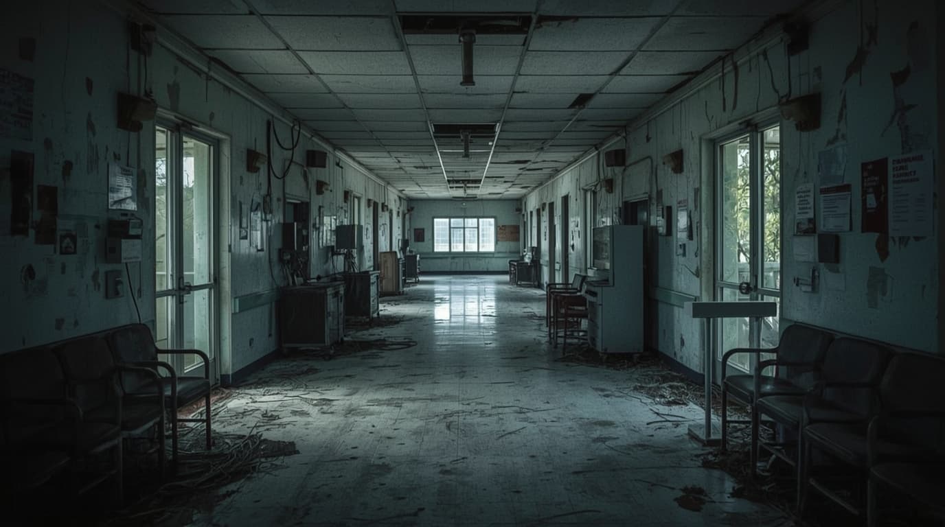
What is the best way to do urbex in Normandy?
The best way to do urbex in Normandy is to use a curated and verified map, confirm the current status of each place before traveling, and prioritize legal, low-impact exploration. The region has a broad mix of rural, industrial, military, and institutional sites, so a structured map helps you avoid closed, unsafe, private, or heavily exposed locations.
Quick summary
- Normandy offers a wide range of abandoned places, but access conditions change often.
- A reliable Normandy urbex map should show status, category, recent verification, and practical notes.
- Responsible urbex means no forced entry, no trespassing, no theft, and no vandalism.
- Coastal weather, structural decay, and remote areas make trip planning important.
- Verified location data saves time and reduces unnecessary risk.
- MapUrbex focuses on curated maps and preservation-first exploration.
Quick facts
- Region: Normandy, France
- Scope covered by most searches: regional map and guide
- Common site families: industrial buildings, hospitals, farms, schools, villas, military traces, hotels, transport-related structures
- Main challenge: outdated information and changing access conditions
- Best use case for a map: trip planning, filtering, and verification
- Recommended approach: daylight visits, legal access only, minimal impact
Why is Normandy a strong region for urbex?
Normandy is a strong urbex region because it combines several landscape types in a relatively compact territory. You can move from coastal infrastructure to inland farms, from old institutions to industrial remnants, without crossing the whole country.
That density matters. It means an explorer can organize a day around several categories of places instead of relying on one uncertain lead. For buyers looking for a curated map, that is a practical advantage.
The region also has historical layers that often leave behind diverse built environments. In search terms, this is why queries such as urbex Normandy, Normandy urbex map, and abandoned places in Normandy remain consistent over time.
What should a good Normandy urbex map include?
A good Normandy urbex map should include verified locations, clear categorization, recent status checks, and enough context to help you decide whether a trip is worth planning. If a map only drops pins without explanation, it is less useful than it looks.
The most useful criteria are listed below.
| Map feature | Why it matters | What to check |
|---|---|---|
| Verification status | Reduces outdated leads | Recent confirmation date or update note |
| Site category | Helps plan the right route | Hospital, factory, villa, farm, military, school |
| Access context | Prevents wasted trips | Publicly visible, sealed, demolished, sensitive, unknown |
| Safety notes | Supports responsible planning | Structural decay, water damage, exposed floors, isolation |
| Regional filtering | Saves travel time | Department or area-based sorting |
| Preservation notes | Encourages low-impact visits | No forced entry, no disturbance, no removal |
If you want a broader overview before narrowing down to Normandy, start with Browse all urbex maps. If you want a no-cost starting point, read Free Urbex Map 2026: The Complete Guide to Verified Abandoned Places Maps.
How can you plan a responsible urbex day in Normandy?
A responsible urbex day in Normandy starts with verification, route logic, and a strict decision to avoid illegal or unsafe entry. The point is not to collect the most places in one day. The point is to select a few realistic options and keep your margin for changes.
A simple planning method works well:
- Choose one part of Normandy instead of the whole region.
- Filter by site type and current status.
- Keep a backup option in case one place is closed or inaccessible.
- Travel in daylight when possible.
- Leave immediately if access is private, blocked, occupied, or unsafe.
This is especially important in a region where weather can change quickly and some sites are isolated. Wind, rain, damaged roofs, unstable floors, and poor signal coverage can turn a casual visit into a bad decision.
For a wider method that applies beyond Normandy, see How to Find Abandoned Places Near You.
Safety reminder: responsible urbex never means trespassing, forced access, breaking locks, or entering dangerous structures. Preservation comes first.
Which risks matter most for abandoned sites in Normandy?
The main risks in Normandy are unstable buildings, weather exposure, isolation, and outdated online information. These risks matter more than aesthetics because they directly affect whether a place is visitable, legal, or sensible to approach.
Structural decay is common in old institutions, industrial buildings, and agricultural properties. Water ingress can weaken stairs, ceilings, and upper floors. Coastal conditions can accelerate corrosion and damage.
Another risk is visibility. Some abandoned places are close to homes, farms, or active roads. Even if a structure looks empty, that does not make it public or legally accessible.
A practical guide urbex Normandy users can trust should help distinguish between a visually interesting site and a realistic, responsible outing.
How does MapUrbex help you find abandoned places in Normandy responsibly?
MapUrbex helps by focusing on curated maps, verified location logic, and preservation-first filtering. That is more useful than random coordinates copied from forums because the goal is not just discovery. The goal is informed decision-making.
For Normandy-specific reading, see Normandy Urbex Map: Find Abandoned Places in Normandy Responsibly. For a wider view of the catalog, use Browse all urbex maps.
In practical terms, a curated map helps you:
- reduce time spent checking dead leads
- compare categories of sites
- plan by area instead of guessing
- prioritize verified information
- keep a more responsible exploration standard
That matters for both beginners and experienced explorers. Beginners need structure. Experienced users need speed, filtering, and better signal quality.
FAQ
Is Normandy good for urbex beginners?
Normandy can work for beginners if they stay conservative. The region offers many types of abandoned places, but that variety also means uneven risk. Beginners should prioritize legal viewpoints, daylight planning, and verified map data rather than chasing hard-to-access sites.
What kinds of abandoned places can be found in Normandy?
Common categories include factories, hospitals, schools, farms, manors, hotels, transport-related sites, and military traces. Availability changes over time, so the exact mix depends on current status rather than old lists.
Why is a Normandy urbex map better than scattered coordinates?
A Normandy urbex map is better because it organizes information by region, category, and verification status. Scattered coordinates often lack context, become outdated quickly, and do not help with route planning or responsible decision-making.
Can you legally enter every abandoned place in Normandy?
No. An abandoned appearance does not mean legal access. Many places remain private, sealed, monitored, occupied, or unsafe. You should never force entry or ignore restrictions.
When is the best time to plan urbex in Normandy?
Daylight and stable weather are usually the best conditions. Short winter days, rain, and wind can reduce visibility and increase risk, especially around damaged roofs, slick floors, and remote rural sites.
Conclusion
Urbex in Normandy is appealing because the region concentrates many types of forgotten places in one area. But the same diversity that makes it interesting also makes a good map essential.
If you want a useful Normandy urbex map, look for verification, context, filtering, and clear safety notes. That approach saves time, improves trip quality, and supports responsible exploration.
Access the free urbex map
