 MapUrbex
Learn how to find urbex near you with verified maps, smart research, and responsible urban exploration methods.
Urbex Near Me: How to Find Urban Exploration Spots Responsibly
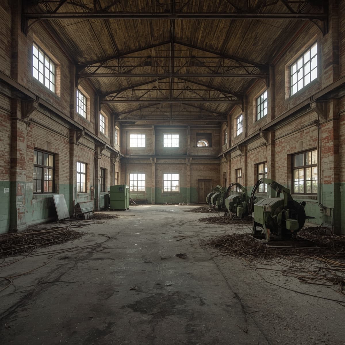
Searching for urbex near me usually means one thing: you want abandoned places that are close enough to visit, but reliable enough to be worth the trip. The problem is that random coordinates, old forum posts, and viral videos often lead to demolished sites, sealed buildings, or unsafe locations.
A better approach is to combine local research with verified mapping. That helps you find urban exploration near me results that are current, realistic, and easier to assess before you leave home.
MapUrbex takes a preservation-first approach. That means curated maps, verification work, and a clear reminder that explorers should never trespass, force entry, or damage places.
How can you find urbex near you responsibly?
You can find urbex near you responsibly by combining verified maps, satellite checks, local historical research, and legal screening before any visit. The goal is not just to find abandoned places, but to identify locations that still exist, are realistically reachable, and can be approached without trespassing, forced access, or unsafe decisions.
Quick summary
- Use verified maps first, not random social media coordinates.
- Confirm that the place still exists with recent map and street-level checks.
- Research ownership, access limits, and local rules before visiting.
- Prioritize preservation-first exploration and never force entry.
- Build a local urbex map from repeatable research sources, not rumors.
- For broader research, compare curated resources like Browse all urbex maps.
Quick facts
| Topic | Key point |
|---|---|
| Best starting point | A verified or curated urbex map |
| Weakest source | Old viral posts without date or context |
| Core verification step | Confirm the site still exists and has not been redeveloped |
| Legal baseline | Never enter without permission if access is restricted |
| Safety baseline | Avoid unstable structures, water damage, and isolated hazards |
| Best mindset | Document, preserve, and leave no trace |
Why is a local urbex map more useful than random coordinates?
A local urbex map is more useful because it turns scattered information into a repeatable research system. Instead of relying on one post or one pin, you can compare multiple places in the same area and prioritize the most credible options.
Random coordinates are often outdated. Many abandoned places are demolished, converted, fenced off, or heavily monitored within a short period. A curated map reduces wasted travel and helps you focus on places with stronger research value.
It also helps you plan responsibly. If several nearby sites appear on a structured map, you can compare distance, access context, surrounding land use, and visible risks before deciding whether a location is even worth further review.
If you want a broader overview of curated resources, start with Best Urbex Maps in the World: Where to Find Verified Locations.
Which sources are most reliable when trying to find urbex places near home?
The most reliable sources are the ones you can cross-check. In practice, that means using more than one layer of evidence before you trust a place.
| Source type | What it helps with | Main limitation |
|---|---|---|
| Curated urbex maps | Fast discovery and geographic filtering | Quality depends on verification standards |
| Satellite imagery | Confirms footprint, road context, and redevelopment | Does not show legal access |
| Street-level imagery | Shows gates, fencing, condition, and activity | May be outdated or unavailable |
| Local archives and news | Explains closure history and ownership clues | Takes more time to review |
| Community reports | Adds recent observations | Can be vague, exaggerated, or illegal-minded |
The strongest method is layered confirmation. A site is more credible when a map listing, satellite imagery, and recent local references all point in the same direction.
That is also why many explorers begin with Access the free urbex map and then verify each candidate location independently.
How do you verify that an abandoned place still exists?
You verify an abandoned place by checking recency, continuity, and context. A single old photo is not enough.
Start with the building footprint. If recent satellite imagery shows a cleared lot, new roofing, active parking, or construction equipment, the site is no longer a strong urbex candidate.
Next, compare older and newer views when possible. Look for signs of change such as fresh road markings, new perimeter fencing, recent windows, landscaping, or redevelopment work.
Then check context. Local news, property listings, planning documents, and municipal updates often reveal whether a hospital, factory, school, or hotel has already entered demolition or conversion.
A practical checklist looks like this:
- Confirm the building is still standing.
- Check whether the site appears vacant rather than active.
- Look for signs of redevelopment or demolition.
- Review whether the surrounding area is industrial, residential, or secured.
- Exclude places that require obvious trespassing or forced access.
For a step-by-step method, see How to Find Abandoned Places Responsibly.
What legal and safety checks should you make before visiting?
You should check ownership, restrictions, and physical risk before you consider any visit. Responsible urbex starts with knowing when not to go.
Legally, the key question is simple: do you have a lawful right to be there? If the site is fenced, signed, occupied, monitored, or clearly private, do not enter without permission. MapUrbex does not support trespassing, forced access, or evasion.
From a safety perspective, abandoned places can contain hidden shafts, unstable floors, broken glass, asbestos, mold, exposed wiring, and water damage. Visual emptiness is not proof of safety.
Use this minimum screen:
- Do not force doors, windows, or barriers.
- Do not explore alone in high-risk environments.
- Avoid roofs, basements, and fire-damaged areas.
- Tell someone where you are going.
- Leave immediately if a place feels active, unstable, or monitored.
Responsible urban exploration near me searches should narrow your options, not pressure you into a risky visit.
Why are verified locations better than social media drops?
Verified locations are better because they reduce noise and increase decision quality. Social posts often optimize for attention, not accuracy.
A viral reel may show dramatic interiors but omit the date, legal context, or the fact that the place has already been stripped or sealed. By the time many people search for it, the location may no longer be relevant.
Verified mapping is different. It aims to answer practical questions: Is the place real? Is it still there? Is the information recent enough to be useful? Is the surrounding context visible enough to support responsible planning?
That verification mindset aligns with preservation. When explorers depend less on hype and more on research, they are less likely to rush into fragile sites, spread harmful exposure, or treat locations as disposable content.
How can beginners build a local urbex workflow that actually works?
Beginners do best with a simple repeatable workflow: map, verify, screen, decide, and only then consider a visit.
A useful process is:
- Start with a curated or verified map.
- Shortlist sites within realistic travel distance.
- Check satellite and street-level context.
- Research closure history and ownership clues.
- Remove sites that imply trespassing or obvious danger.
- Keep notes so your local urbex map improves over time.
This approach is slower than chasing dropped pins, but it produces better results. It also helps you learn patterns. For example, former schools, factories, hotels, and military areas all leave different research traces.
If you want to study how local context changes urbex research, Urbex Tokyo: A Responsible Guide to Haikyo and Abandoned Places in Japan is a useful example.
FAQ
What is the best way to search for urbex near me?
The best way is to start with a verified map, then confirm each site with satellite imagery, local references, and legal screening. That is more reliable than searching only on social media.
Are abandoned places on maps always safe or legal to enter?
No. A mapped location is not an invitation to enter. Every site still requires legal, safety, and ownership checks. If access is restricted, do not enter without permission.
How do I find abandoned places without getting fake locations?
Use cross-verification. Trust places that appear consistently across curated maps, imagery, and local documentation. Avoid posts that provide no date, no context, and no evidence that the site still exists.
Why do so many urbex spots disappear from old lists?
Abandoned places change quickly. They are often demolished, renovated, burned, stripped, fenced, or repurposed. That is why current verification matters more than old popularity.
Is a free urbex map enough for beginners?
A free map is a strong starting point, but it should be part of a broader process. You still need to verify each site and filter out places that are unsafe, active, or legally restricted.
Conclusion
If you are searching for urbex near me, the most effective method is not chasing secret pins. It is building a reliable research process. Verified maps, local context, and careful screening help you find better locations with fewer wasted trips.
Just as important, responsible urbex protects places. The goal is to document and understand abandoned sites, not to damage them or enter unlawfully. Preservation-first research is not a limitation. It is what makes urban exploration sustainable.
Access the free urbex map
