 MapUrbex
Compare a dedicated urbex app with Google Maps to find the safest, most efficient way to research abandoned places responsibly.
Urbex App or Google Maps: Which Option Should You Choose?
If you want to find abandoned places, the first tool that comes to mind is often Google Maps. It is fast, familiar, and free. But an urbex-specific map can save time and reduce mistakes.
The real question is not whether Google Maps is useful. It is whether Google Maps alone is enough for responsible exploration. For most people, the best choice depends on how much verification, context, and safety information they need.
If you want a curated starting point, you can Browse all urbex maps or start with the guide Abandoned Places Near Me: How to Find Urbex Spots Easily.
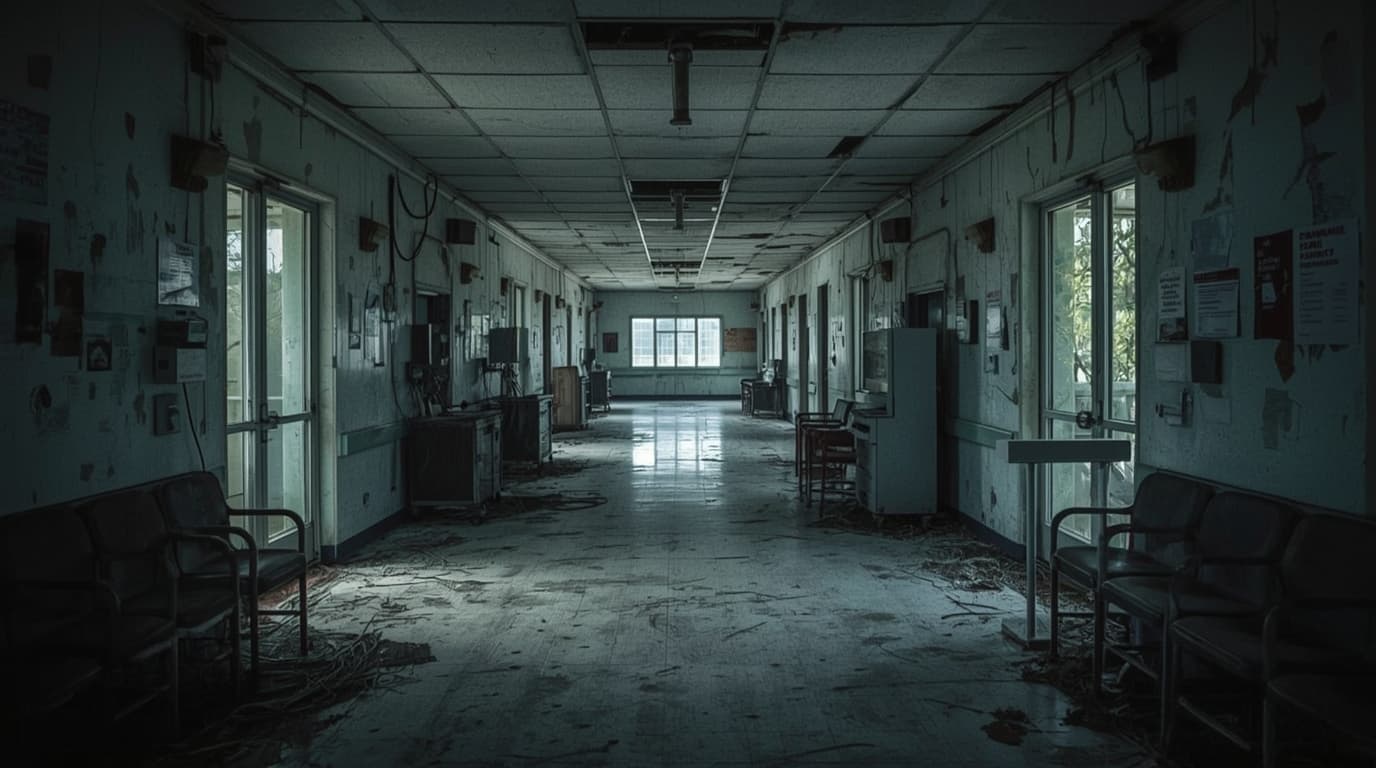
Should you use an urbex app or Google Maps?
Use Google Maps if you need broad geographic context, satellite views, and route planning. Use a dedicated urbex app or curated urbex map if you need verified locations, exploration-specific filtering, and better signal on whether a place is relevant. In practice, Google Maps is a research layer, while a good urbex map is a decision layer.
Quick summary
- Google Maps is strong for orientation, access roads, and satellite imagery.
- A dedicated urbex map is better for verified locations and exploration-focused filtering.
- Google Maps urbex research often produces false positives, outdated pins, or places that are not abandoned.
- The best urbex app usually combines curation, updates, and responsible-use guidance.
- Beginners often get the best results by using both tools together.
- Always respect local laws, posted restrictions, and site safety conditions.
What are the quick facts?
- Best for broad scouting: Google Maps
- Best for verified location discovery: Curated urbex map
- Best for route planning: Google Maps
- Best for reducing wasted trips: Dedicated urbex application
- Best approach overall: Use both in sequence
- MapUrbex position: Verified locations, responsible urbex, preservation-first
Safety reminder: No map removes legal or physical risk. Never force entry, trespass, vandalize, or ignore visible hazards.
What can Google Maps do well for urbex research?
Google Maps is useful because it shows the wider environment around a possible spot. It helps you understand roads, nearby neighborhoods, industrial zones, parking constraints, and travel time.
For urbex research, Google Maps urbex workflows are especially good at four things:
- checking satellite imagery for building footprints
- seeing whether a site is isolated or surrounded by active businesses
- measuring distance and trip planning
- comparing different areas quickly at a global scale
Street names, public landmarks, and terrain clues also make Google Maps a strong first-pass tool. If your goal is to scan a region before narrowing down targets, it remains one of the fastest options.
That is why many explorers begin with Google Maps, then move to more specialized resources.
Where does Google Maps fall short for abandoned-place exploration?
Google Maps falls short because it is not designed to answer the key urbex question: is this place actually a relevant abandoned location right now?
A pin on the map may refer to an active warehouse, a demolished site, private land with no lawful access, or a place that changed status years ago. Satellite imagery can also be old. Labels can be incomplete. User-submitted information can be noisy.
This creates three common problems:
- False positives: a place looks abandoned but is active.
- Outdated results: the building has been renovated, secured, or removed.
- Low context: you do not know whether the site matters for urbex, photography, or historical interest.
In short, Google Maps is excellent at showing where something is. It is much less reliable at proving what that place is for an explorer today.
When is a dedicated urbex map the better choice?
A dedicated urbex map is the better choice when you want faster filtering, better relevance, and less guesswork.
The best urbex app does more than place pins on a map. It organizes locations around exploration needs. That may include verification status, type of site, regional grouping, or a cleaner distinction between likely spots and low-value leads.
A curated map for exploring abandoned places is especially useful when:
- you are short on time
- you want to avoid obvious false leads
- you are researching multiple cities or countries
- you care about preservation-first exploration
- you want a more structured workflow than open map browsing
This is where MapUrbex differs from generic mapping. The value is not only the map interface. The value is the curation behind it.
How do the two options compare side by side?
The difference is easier to see in a direct comparison.
| Criteria | Google Maps | Dedicated urbex map |
|---|---|---|
| Geographic coverage | Very broad | More selective |
| Satellite and navigation | Excellent | Usually secondary |
| Verified urbex relevance | Limited | Stronger |
| Filtering for abandoned places | Weak | Better |
| Time saved on research | Moderate | High when curated well |
| Risk of false positives | High | Lower |
| Best use case | Broad scouting | Targeted location discovery |
The table shows why the choice is usually not either-or. Each tool solves a different part of the problem.
What workflow works best in practice?
The most effective workflow is usually hybrid: start broad, then narrow with verification.
A simple process looks like this:
- Use Google Maps to scan districts, industrial belts, rail edges, rural compounds, or hospital zones.
- Cross-check those areas against a curated urbex map.
- Remove locations that appear active, recently redeveloped, or obviously inaccessible.
- Build a short list and review safety, distance, and legal context.
This method is faster than using Google Maps alone and safer than relying on random social posts. If you want more step-by-step guidance, read Urbex Near Me: How to Find Abandoned Places Fast.
How can you choose the best urbex app for your needs?
Choose the best urbex app by looking at verification quality, map clarity, update frequency, and whether the platform promotes responsible exploration.
A strong application urbex alternative should answer these questions clearly:
- Are locations curated or just user-dumped?
- Is the map easy to search by region?
- Does it help reduce outdated entries?
- Does it avoid reckless location sharing?
- Does it support a preservation-first mindset?
If a tool gives you many pins but little context, it is not necessarily better than Google Maps. Quantity is not the same as usefulness.
If you prefer a curated reference rather than endless searching, Browse all urbex maps is a practical next step.
What safety and legal points should you keep in mind?
Safety and legality matter more than convenience. A better map does not create permission, and a visible building is not an invitation to enter.
Keep these rules in mind:
- Respect private property and local law.
- Do not bypass fences, locks, barriers, or warnings.
- Avoid unstable buildings, contaminated sites, and unsecured heights.
- Never go alone into high-risk environments.
- Prioritize documentation and preservation over access at any cost.
Responsible urbex is based on judgment. The right map should help you research better, not push you toward unsafe behavior.
FAQ
Can Google Maps show abandoned places?
Google Maps can help you spot buildings, compounds, and unusual land use patterns, but it does not reliably confirm that a place is abandoned. It is best used for scouting, not final verification.
Is a dedicated urbex app more accurate?
A dedicated urbex app can be more accurate if it relies on curation and verification. Accuracy depends on how often the data is reviewed and whether the platform filters outdated or irrelevant spots.
What is the best app to explore abandoned places?
The best app to explore abandoned places is the one that combines useful mapping with reliable curation. For most users, a curated urbex map is more efficient than open-ended searching alone.
Can you rely on a free urbex map?
A free urbex map can be useful as a starting point, especially if it is curated. You should still cross-check any location for current status, safety, and legal constraints.
Should beginners use Google Maps first?
Beginners can start with Google Maps to understand terrain and distances, but they usually benefit from a curated map soon after. That reduces wasted trips and obvious false leads.
Conclusion: Which option makes the most sense?
If you must choose only one, pick the tool that matches your goal. Google Maps is better for orientation and large-scale scanning. A dedicated urbex map is better for verified discovery and efficient filtering.
For most explorers, the smartest answer is both: use Google Maps to understand the area, then use a curated map to focus on relevant locations. That approach is faster, clearer, and more responsible.
Access the free urbex map
