 MapUrbex
Learn what an urban exploration map is, how an urbex map works, and how to find abandoned places responsibly with verified, curated locations.
Urban Exploration Map: How to Find Abandoned Places Responsibly
An urban exploration map helps people organize information about possible abandoned places. Used well, it saves time, reduces uncertainty, and makes research more structured.
A good urbex map is not a promise of access. It is a research tool. The best maps add context, verification, and safety notes so explorers, photographers, and historians can make better decisions.
MapUrbex focuses on verified locations, responsible urbex, and preservation-first discovery. That matters because random coordinates from social media are often outdated, inaccurate, or risky.
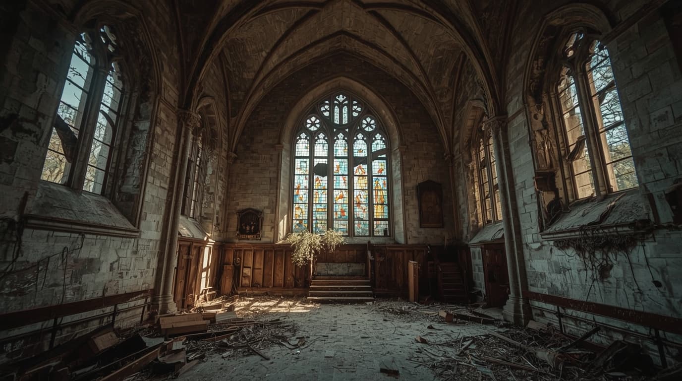
What is an urban exploration map?
An urban exploration map is a curated map that helps users identify, sort, and review potential abandoned places or historically interesting sites. A reliable urbex map does more than show pins. It adds status clues, verification signals, regional context, and responsible-use guidance so people can research locations without relying only on rumors or viral posts.
Quick summary
- An urban exploration map is a research tool, not a guarantee of legal access.
- A strong urbex map combines location data with verification, notes, and context.
- Verified locations matter more than a large list of unreviewed pins.
- Responsible urbex means no trespassing, no forced entry, and no damage.
- Curated maps are more useful than random social posts because they reduce noise.
- You can start with Browse all urbex maps or use the option below to Access the free urbex map.
Quick facts
- Primary use: research, route planning, photography scouting, heritage interest
- Common names: urban exploration map, urbex map, map of abandoned places
- Best format: curated map with filters and verification notes
- Main risk: outdated data or unsafe assumptions about access
- Legal reminder: an abandoned building is not automatically legal to enter
- Best approach: verify, observe, preserve, and leave no trace
How does an urbex map help you find abandoned places?
An urbex map helps you find abandoned places by turning scattered information into a searchable system. Instead of collecting screenshots, old forum posts, and unverified coordinates, you can compare areas, identify patterns, and focus only on locations that match your interests and risk tolerance.
In practice, a map of abandoned places is useful for three reasons.
First, it saves time. A curated map lets you scan regions quickly instead of starting from zero for every trip.
Second, it improves decision-making. If a location includes recent status notes or verification signals, you can avoid long trips to places that have been demolished, repurposed, or secured.
Third, it makes research more consistent. Many people move from random social discovery to structured planning once they realize how often viral locations are outdated.
If you want a broader comparison, see Best Urbex Maps in the World: Where to Find Verified Locations.
Why do verified locations matter more than quantity?
Verified locations matter more than quantity because raw volume creates false confidence. A huge list of pins is not useful if many sites no longer exist, are misidentified, or were never suitable for responsible exploration in the first place.
A verification-first approach improves quality in several ways:
- It reduces wasted travel.
- It lowers the chance of relying on old or misleading information.
- It helps users distinguish historical interest from empty hype.
- It supports safer planning by highlighting uncertainty.
The difference is simple: a curated urbex guide aims to help you assess a site, not just chase a coordinate.
| Feature | Why it matters | What to check |
|---|---|---|
| Recent verification | Reduces outdated trips | Date of update or review |
| Site category | Helps match interests | Factory, hospital, church, house, military site |
| Context notes | Improves planning | Condition, visibility, nearby activity |
| Access caution | Prevents bad assumptions | Public viewpoint only, restricted area, unclear status |
| Curated selection | Removes noise | Fewer but better-documented locations |
How should you use a map of abandoned places responsibly?
You should use a map of abandoned places as a planning and documentation tool, not as permission to enter. Responsible urbex starts with legal awareness, personal safety, and preservation of the site.
That means a few non-negotiable rules:
- Do not trespass.
- Do not force entry.
- Do not damage, move, or take objects.
- Do not expose fragile sites to unnecessary attention.
- Do not assume that a neglected building is safe.
Legal and safety reminder: local laws, ownership, and site conditions always matter more than a map pin. If access is restricted or unclear, do not enter.
For a deeper framework, read How to Find Abandoned Places Responsibly.
What should you check before planning a visit?
Before planning a visit, you should confirm whether the site still exists, whether access is legal, and whether the environment is safe enough even for an exterior visit. Those checks are more important than the location itself.
Use this short checklist:
- Current status: Is the place still standing and visibly abandoned?
- Ownership: Is it private property, an active redevelopment site, or a public ruin?
- Access rules: Is there signage, fencing, or a clear restriction?
- Surroundings: Is the area isolated, actively monitored, or near sensitive infrastructure?
- Structural condition: Are there roof collapses, unstable floors, water damage, or fire damage?
- Backup plan: If access is not lawful or safe, is there still value in exterior photography or historical research?
A good urbex guide does not remove judgment. It helps you apply better judgment sooner.
Which features make a good urban exploration map?
A good urban exploration map is specific, curated, and honest about uncertainty. It should help users filter locations, understand what they are looking at, and avoid treating every pin as equally useful.
The most helpful features include:
- clear categories for different types of abandoned places
- verification signals or recent updates
- notes about status changes
- geographic filtering
- consistency across regions
- a preservation-first philosophy
This is the advantage of curated mapping over random discovery. Social posts are good at attracting attention. A serious map is better at supporting decisions.
If you want regional reading alongside map research, see Urbex Tokyo: A Responsible Guide to Haikyo and Abandoned Places in Japan.
When is a free urbex map useful?
A free urbex map is useful when you want to understand the format before committing to deeper research. It is especially helpful for beginners who need a starting point, and for experienced users who want a quick regional overview.
Free access works best when the map is still curated. A small, well-maintained set of entries is more valuable than a large, abandoned directory.
Access the free urbex map
FAQ
Is a map of abandoned places always accurate?
No. Even a well-maintained map can become outdated because sites change quickly. Demolition, redevelopment, security upgrades, and ownership changes happen often.
Can a free urbex map replace local research?
No. A free urbex map can narrow your search, but it cannot replace checking local conditions, laws, and visible access restrictions.
Is it legal to visit abandoned places?
Sometimes, but not by default. Legality depends on ownership, local law, restrictions, and the exact area you enter. Many abandoned places are still private property.
Should you share exact coordinates publicly?
Usually not for fragile sites. Public overexposure can lead to vandalism, theft, and accelerated closure. Preservation-first sharing is the better standard.
What is the safest first step for beginners?
Start with exterior observation, historical research, and curated maps. Learn how to assess legality and risk before considering any closer visit.
Conclusion
A strong urban exploration map is not just a list of abandoned places. It is a filtered research system that helps you find better information, avoid outdated leads, and act more responsibly.
For most users, the key question is not how many pins a map has. The key question is whether the map helps you evaluate a site clearly. Verified locations, careful curation, and preservation-first guidance are what make an urbex map genuinely useful.
If you want to explore the format yourself, start with a curated entry point and keep legality, safety, and respect for places at the center of every decision.
Access the free urbex map
