 MapUrbex
Use a verified United Kingdom urbex map to find abandoned places more efficiently, compare regions, and explore responsibly with MapUrbex.
United Kingdom Urbex Map: Find Verified Abandoned Places
If you need a United Kingdom urbex map, the main goal is simple: find abandoned places that are relevant, current, and worth checking without wasting hours on outdated lists.
A good map of abandoned places in the UK should do more than drop random pins. It should help you filter by area, identify whether a location has been verified, and plan responsibly.
MapUrbex focuses on curated maps, verified locations, and preservation-first exploration. That matters in a country where site status can change quickly.
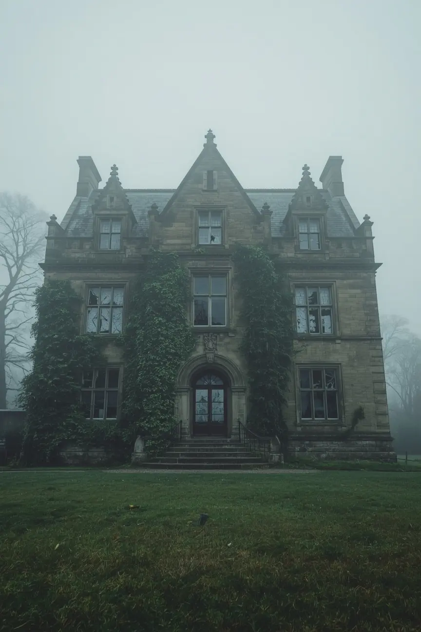
What is the best United Kingdom urbex map for finding verified abandoned places?
The best United Kingdom urbex map is a curated, regularly updated map that highlights verified abandoned places and helps you avoid copied lists with stale information. In practice, a useful UK urbex map should improve relevance, save research time, and support responsible decision-making before any trip.
Quick summary
- A verified UK urbex map is more useful than a random public list because abandoned places change status often.
- Good maps help you sort locations across England, Scotland, Wales, and Northern Ireland.
- The best map of abandoned places combines verification, context, and efficient search.
- Responsible urban exploration means respecting the law, avoiding forced entry, and protecting locations.
- A free map is helpful for discovery, while a dedicated country map is better for focused planning.
- MapUrbex is built around curated data, preservation-first practices, and practical usability.
Quick facts
| Item | Details |
|---|---|
| Country coverage | United Kingdom |
| Main use case | Finding verified abandoned places more efficiently |
| Best for | Researchers, photographers, and responsible urbex planners |
| Key advantage | Curated locations instead of scattered public lists |
| Safety approach | No trespassing, no forced access, preservation first |
Why use a verified map of abandoned places in the UK?
A verified map matters because abandoned places in the United Kingdom do not stay static. Buildings are demolished, redeveloped, secured, or misreported, and that makes old lists unreliable.
This is the main weakness of many open directories. They often copy the same locations from forum posts, social media captions, or years-old blog pages. The result is noise rather than usable intelligence.
A curated map reduces that noise. It helps you focus on places that fit your region, your travel radius, and your planning needs. For broader context, see UK Urbex Map: Verified Abandoned Places Across Britain.
What should a good map of abandoned places in the United Kingdom include?
A good United Kingdom urbex map should include clear regional coverage, consistent verification standards, and enough context to help you decide whether a location is worth researching further.
Useful features usually include:
- coverage across multiple regions rather than a single city
- clear map organization and filtering
- notes that distinguish abandoned sites from demolished or repurposed ones
- a curated approach instead of mass-added user pins
- privacy-minded presentation that does not encourage reckless exposure
If you want to compare the broader catalog, you can Browse all urbex maps.
How does MapUrbex help with urban exploration in the United Kingdom?
MapUrbex helps by turning scattered location research into a structured map experience. The aim is not to glamorize risky access. The aim is to help responsible users find verified places faster and plan with better information.
That matters for urban exploration in the United Kingdom because the geography is wide and the stock of abandoned sites is varied. Industrial sites, institutions, rural properties, military remnants, and transport infrastructure all appear in different regional patterns.
For users who want a country-focused product, Explore abandoned places in United Kingdom. For a wider continental view, see Map of Abandoned Places in Europe: The Ultimate Urbex Map with 5,000+ Locations.
Which regions are usually covered by a United Kingdom urbex map?
A strong United Kingdom urbex map should cover more than the most photographed locations. It should help users search across England, Scotland, Wales, and Northern Ireland, because urbex opportunities and building types differ by region.
In practical terms, regional coverage matters for three reasons:
- travel time in the UK is uneven, especially outside major corridors
- local site turnover can be high in redevelopment zones
- rural and post-industrial areas often require different research methods
The best maps make that variation easier to navigate without relying on guesswork.
How should you use a UK urbex map responsibly and legally?
You should use a UK urbex map as a research tool, not as permission to enter any site. Legal access depends on ownership, restrictions, current site condition, and local rules.
Responsible use means:
- never trespassing
- never forcing entry
- never breaking locks, barriers, or fences
- never publicizing sensitive spots in a way that increases damage
- checking weather, structural risks, and surrounding hazards
- leaving no trace
MapUrbex supports preservation-first exploration. If access is not lawful and safe, do not enter.
Is a free urbex map enough for the United Kingdom?
A free urbex map is useful for discovery, but it is usually not enough for people who want efficient country-level planning. Free tools help you understand the concept, while dedicated maps are better for focused searching and comparison.
Choose a free map if you want:
- a first look at the MapUrbex approach
- a simple way to test the interface
- a starting point for general browsing
Choose a dedicated UK map if you want:
- more targeted country coverage
- faster planning for specific trips
- a better workflow for comparing areas and categories
Frequently asked questions
What is the difference between a general map of abandoned places and a UK urbex map?
A general map covers many countries or broad themes. A UK urbex map is narrower and more useful when your actual goal is to search abandoned places in the United Kingdom efficiently.
Are all abandoned places in the United Kingdom legal to visit?
No. Abandonment does not equal legal access. Many sites remain private property, actively monitored, structurally unsafe, or restricted for other reasons.
Why do verified locations matter more than large public lists?
Verified locations matter because large public lists often reward quantity over accuracy. For planning, fewer reliable entries are more useful than many outdated ones.
Can beginners use a United Kingdom urbex map safely?
Beginners can use a map safely if they treat it as a research aid, stay within the law, avoid risky structures, and do not confuse location data with permission.
Should you choose a UK-only map or a Europe-wide map?
Choose a UK-only map for focused trip planning inside the country. Choose a Europe-wide map if you compare several destinations or want broader discovery.
Conclusion
A United Kingdom urbex map is most useful when it is curated, verified, and designed for responsible planning. That is what separates a practical tool from a recycled list of abandoned places.
If your goal is to save research time and find better urbex leads without compromising preservation, start with MapUrbex.
Access the free urbex map
