Looking for a UK urbex map? Learn how to find verified abandoned places in Britain, compare free vs curated options, and plan research responsibly.
UK Urbex Map: Find Verified Abandoned Places in Britain
Finding abandoned places in the United Kingdom takes more than a few social posts. The country has a dense mix of industrial ruins, closed institutions, military remains, and rural estates spread across England, Scotland, Wales, and Northern Ireland.
A curated UK urbex map helps you research faster and with fewer false leads. For responsible urbex, verified locations matter because demolition, redevelopment, security changes, and legal restrictions are common.
What is the best way to find a UK urbex map with verified abandoned places?
The best way to find a UK urbex map is to use a curated map built around verified abandoned places in Britain. A verified map reduces outdated leads, helps you compare regions quickly, and gives you a stronger starting point for legal checks, route planning, and preservation-first research.
Quick summary
- A UK urbex map is most useful when it focuses on verified abandoned places rather than random public pins.
- The United Kingdom offers a wide range of site types, including manors, mills, hospitals, military structures, and transport heritage.
- A curated map saves time by reducing duplicate research and outdated location hunting.
- Verification does not mean legal access. You still need to check ownership, local rules, and current site conditions.
- MapUrbex is designed for responsible urbex research, with preservation-first mapping and curated country coverage.
- If you want to compare options, the free map and the UK-specific map are the best starting points.
Quick facts
- Country covered: United Kingdom
- Geographic scope: England, Scotland, Wales, and Northern Ireland
- Main use case: Researching abandoned places before planning a trip
- Typical site categories: Industrial, residential, medical, military, transport, rural heritage
- Best for: Researchers who want verified abandoned places and faster route planning
- Important reminder: A mapped location is not permission to enter
Why use a verified abandoned places map in the United Kingdom?
A verified abandoned places map is useful in the United Kingdom because many sites change status quickly. A place that was accessible two years ago may now be demolished, repurposed, sealed, or actively monitored.
This is why general search results are often inefficient. You may find old forum threads, vague tags, reposted coordinates, or photos without current context. A curated map helps reduce that noise and gives you a cleaner research base.
If you want to compare country options beyond the UK, you can also Browse all urbex maps. If you want a country-specific starting point, Explore abandoned places in United Kingdom.
| Research method | What it usually provides | Main limitation |
|---|---|---|
| Free web search | Broad inspiration and scattered references | Results are often outdated or imprecise |
| Social media posts | Recent visuals and atmosphere | Access details and current status are rarely reliable |
| Curated UK urbex map | Structured, verified abandoned places and clearer trip planning | You still need legal and safety checks on every visit |
What kinds of abandoned places can you research with a UK urbex map?
A UK urbex map can help you research several major categories of abandoned places. Britain is especially rich in industrial, institutional, military, and rural decay because of its long building history and uneven redevelopment patterns.
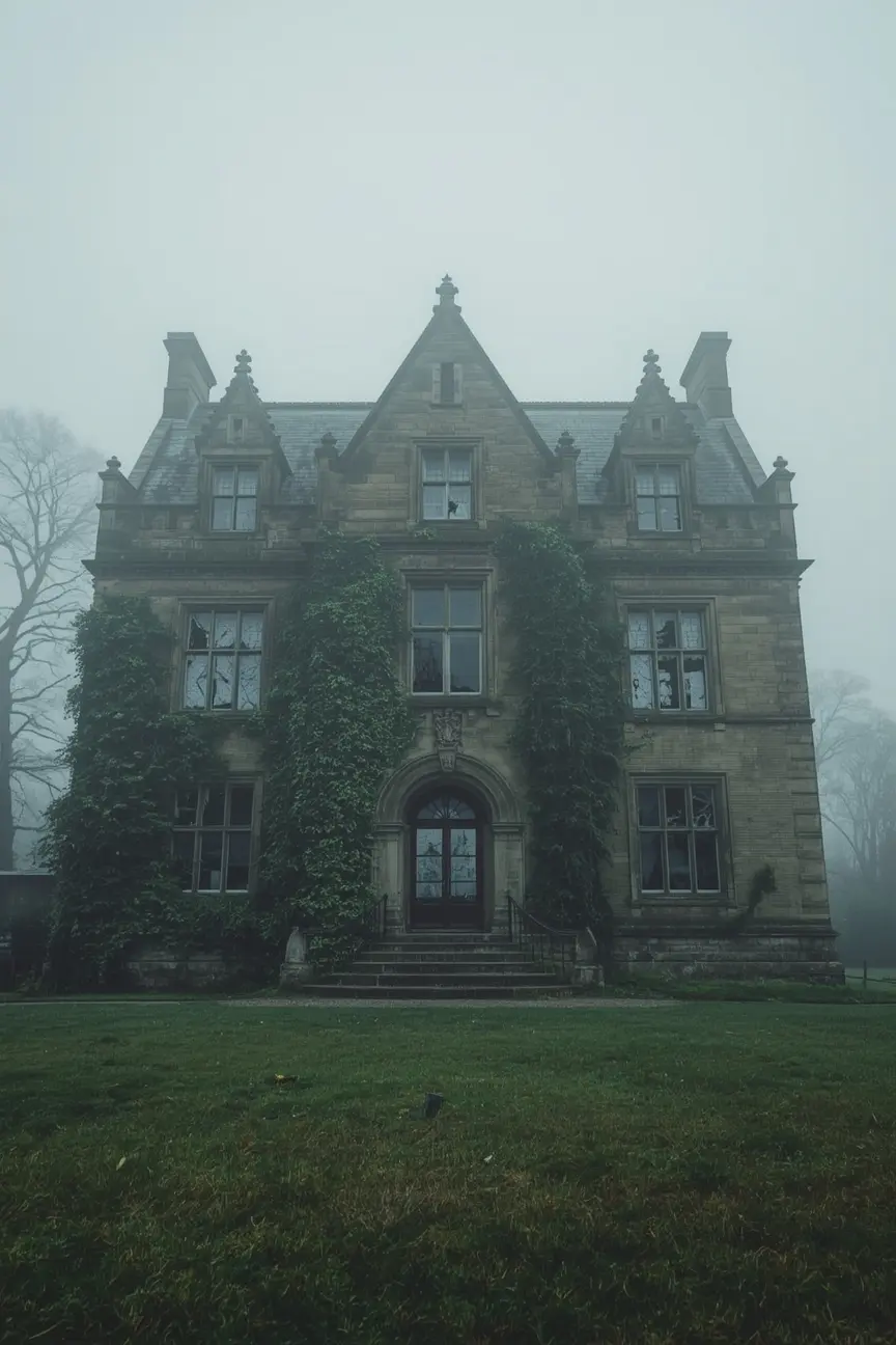
1. Abandoned manors and country houses
Abandoned manors and country houses are one of the most sought-after categories in Britain. They often combine architectural detail, social history, and rural isolation in a way that makes them attractive for researchers and photographers.
These sites are also highly unstable in terms of status. Some are bought for restoration, some fall into advanced collapse, and others are protected more heavily after publicity. A verified map helps separate long-gone legends from locations that still exist.
2. Former factories, mills, and warehouses
Former factories, mills, and warehouses are central to urbex in the UK because Britain’s industrial legacy is so large. Northern England, the Midlands, South Wales, and parts of Scotland all contain dense industrial histories.
These locations vary widely. Some are vast brick mills, some are dockside warehouses, and some are smaller specialist works tied to mining, textiles, or engineering. A good map is useful here because industrial sites are often confusing to identify from fragments online.
3. Disused hospitals and care institutions
Disused hospitals and care institutions are another major category in British urbex research. Many researchers look for former Victorian hospitals, psychiatric facilities, sanatoriums, and care homes because they preserve layered interiors and strong historical context.
These sites require extra caution. They may contain asbestos risks, broken floors, water damage, and active redevelopment plans. Verification is especially important because medical sites are frequently stripped, secured, or converted.
4. Abandoned military and coastal structures
Abandoned military and coastal structures are common across the UK due to wartime history, coastal defense networks, and Cold War infrastructure. This includes batteries, bunkers, observation points, storage areas, and training remains.
These sites can look quiet while still being hazardous. Cliff erosion, flooding, hidden shafts, and unstable concrete are common issues. Responsible research matters more than speed when dealing with military ruins.
5. Rail, mining, and transport heritage
Rail, mining, and transport heritage sites are highly visible in British industrial landscapes. You may research disused stations, sidings, signal sites, depots, tunnels, yards, and former extraction areas.
This category often overlaps with active infrastructure. That is why a map should support planning, not impulsive visits. Never enter live rail zones, restricted tunnels, or dangerous shafts. Preservation-first urbex means knowing when not to proceed.
How does a curated UK map help you plan trips more efficiently?
A curated UK map helps you plan trips more efficiently by turning scattered information into a structured research workflow. Instead of building a route from dozens of weak sources, you can compare regions, site types, and travel distances in one place.
This matters in the United Kingdom because travel time can be lost quickly between counties, urban clusters, and rural dead ends. A country-level map helps you identify where site density is strongest and which areas fit a day trip, weekend route, or longer research loop.
For broader planning, How to Plan an Urbex Road Trip in Europe explains how to organize multi-stop research across regions. If you are deciding between open access and curated access, Free vs Paid Urbex Map: Which Abandoned Places Map Is Worth It? gives a practical comparison.
How should you use a UK urbex map responsibly?
A UK urbex map should be used as a research tool, not as permission to enter a site. In the United Kingdom, legal status, ownership, site security, and redevelopment conditions can change fast.
Responsible urbex starts with restraint. MapUrbex is built around preservation-first research, which means minimizing harm to places and avoiding risky or illegal behavior.
- Check current ownership and any visible legal restrictions before you travel.
- Never force entry, bypass locks, cut fences, or ignore active security measures.
- Do not assume a verified location is safe. Structural instability is common.
- Avoid sharing vulnerable details publicly if a site is at risk of vandalism or theft.
- Respect nearby residents, farms, businesses, and communities.
- Leave no trace and do not move or stage objects for photos.
If heritage sites are part of your research interests, Abandoned Castles in Europe: 8 Ruined Sites Every Urbex Researcher Should Know offers broader context on ruined historic places across Europe.
Which MapUrbex pages should you compare before choosing a map?
The best MapUrbex pages to compare are the free map, the UK-specific product page, and the article comparing free and paid maps. Together, they show what you can access immediately and when a curated country bundle will save more research time.
Start with these pages:
- Access the free urbex map
- Explore abandoned places in United Kingdom
- Browse all urbex maps
- Free vs Paid Urbex Map: Which Abandoned Places Map Is Worth It?
Access the free urbex map
Explore abandoned places in United Kingdom
FAQ
Is a UK urbex map better than searching social media?
Yes, a curated UK urbex map is usually better for structured research. Social media is useful for inspiration, but it often lacks verification, context, and current status. A map helps reduce duplicate leads and outdated location hunting.
Does a verified location mean legal access?
No. Verified means the location data is more reliable, not that entry is permitted. You still need to assess ownership, restrictions, and on-site conditions before any visit.
Can one map cover England, Scotland, Wales, and Northern Ireland?
Yes, a UK-wide urbex map can support research across all four nations. That is especially useful if you plan longer routes or want to compare regional site density. It also helps standardize your research instead of relying on local fragments.
What is the difference between a free urbex map and a paid one?
A free map is useful for discovery and orientation. A paid map is usually more curated, more specific, and more efficient for serious route planning. The right choice depends on how much time you want to spend filtering incomplete information.
Are abandoned castles part of UK urbex research?
Sometimes, but they are not the whole picture. In the UK, many researchers focus just as much on manors, mills, hospitals, and military structures. If ruined heritage sites interest you, the European perspective in Abandoned Castles in Europe: 8 Ruined Sites Every Urbex Researcher Should Know is a useful complement.
Conclusion
A UK urbex map is most valuable when it helps you find verified abandoned places without wasting time on dead leads. In Britain, that means using a curated source, checking legal context carefully, and planning with preservation in mind.
If you want a practical starting point, compare the free map with the country bundle and choose the level of detail that fits your research style.
Access the free urbex map