Looking for a Spain urbex map near the Pyrenees? Discover 5 abandoned places reachable from Pau or Hendaye, with route logic, legal context, and safety notes.
Spain Urbex Map: 5 Abandoned Places Near the Pyrenees from Pau or Hendaye
If you are looking for a Spain urbex map focused on the northern border, the most useful search area runs from the Basque coast to Navarra and Aragón. From Pau and Hendaye, this corridor gives access to some of the most documented abandoned forts and depopulated villages in northern Spain.
Unlike classic factory-heavy urbex regions, the Spanish Pyrenees are better known for military ruins, reservoir-displaced settlements, and weathered stone villages. That changes how you plan: public viewpoints, long approaches, and legal context matter more than quick entries.
MapUrbex follows a preservation-first approach. Use verified information, respect closures, and never force access or enter unstable structures.
What is the best Spain urbex map for abandoned places near the Pyrenees?
The best Spain urbex map for this area is a curated map that helps you compare legal context, route logic, and site type across Basque Country, Navarra, and Aragón. For searches starting from Pau or Hendaye, the strongest reference points are Fuerte de Guadalupe, Fort San Cristóbal, Tiermas, Ruesta, and Esco, with public-road planning and safety checks built into your route.
Quick summary
- The most practical cross-border gateways are Hendaye for the Basque coast and Navarra, and Pau for Aragón via the Pyrenean corridor.
- Near the Pyrenees, the best known abandoned places in Spain are often forts and deserted villages rather than factories.
- Five strong reference sites are Fuerte de Guadalupe, Fort San Cristóbal, Tiermas, Ruesta, and Esco.
- Access conditions vary widely. Some sites can be viewed from public paths, while structures themselves may be closed, unstable, or protected.
- Responsible urbex in Spain means no trespassing, no forced entry, and no publication of harmful access details.
- For wider coverage beyond this northern route, start with Browse all urbex maps or read 🇪🇸 Top 10 Abandoned Places to Explore in Spain in 2025.
Quick facts
| Topic | Answer |
|---|---|
| Main keyword focus | Spain urbex map |
| Best border gateway for Basque routes | Hendaye |
| Best gateway for Aragón-side routes | Pau |
| Most common site types nearby | Abandoned forts, depopulated villages, ruined spa settlements |
| Best planning method | Daylight scouting, public-road access checks, weather review, and backup routes |
| Legal baseline | Respect ownership, closures, heritage rules, and local safety restrictions |
Which 5 abandoned places stand out on a Spain urbex map near the Pyrenees?
The clearest five-site shortlist near the Pyrenees is Fuerte de Guadalupe in Hondarribia, Fort San Cristóbal on Mount Ezkaba, and the abandoned settlement trio of Tiermas, Ruesta, and Esco near the Yesa reservoir corridor. Together, they give a realistic picture of northern Spain urbex: military history, depopulation, and fragile landscapes.
| Place | Region | Type | Best approach city | Why it matters |
|---|---|---|---|---|
| Fuerte de Guadalupe | Gipuzkoa | Coastal fort | Hendaye | Closest strong urbex reference on the Spanish side of the Basque border |
| Fort San Cristóbal | Navarra | Fortress and former prison | Hendaye or Pamplona | Major historical site with strong documentary value |
| Tiermas | Aragón | Partly abandoned spa village | Pau or the Jaca corridor | Famous for reservoir-related abandonment |
| Ruesta | Aragón | Depopulated village | Pau or the Jaca corridor | Well-known ruined village on the pilgrimage corridor |
| Esco | Aragón | Abandoned village | Pau or the Jaca corridor | Remote and visually striking example of forced depopulation landscapes |
Why is Fuerte de Guadalupe the closest Spanish urbex reference to Hendaye?
Fuerte de Guadalupe is one of the most relevant starting points for people searching urbex spots near Hendaye because it sits just across the border zone in Gipuzkoa, above Hondarribia. It is better understood as a historic fortification landscape than as a casual entry site.
Its value is contextual. You get military architecture, coastal views, and a strong sense of the defensive history of the Basque frontier. For responsible exploration, the key point is to stay on public approaches and treat the fort as a heritage ruin, not as a structure to force your way into.
This is also why a curated Spain urbex map helps. It separates a photogenic ruin from a safe, lawful visit plan.
Why is Fort San Cristóbal a major abandoned site near Pamplona?
Fort San Cristóbal, also known as Fort Alfonso XII, is one of the most historically significant abandoned military sites in northern Spain. It stands on Mount Ezkaba near Pamplona and is known both for its scale and for its later use as a prison.
For urbex research, this is a reference site, not a casual target. The fortress has a heavy historical context, deteriorated sections, and an uneven legal and safety picture depending on the area. That makes public observation, documented history, and exterior photography the responsible baseline.
If your interest is in the wider Spanish context of abandoned sites, compare this northern military heritage with the national examples discussed in Ghost Towns in Spain: What the Housing Bubble Left Behind.
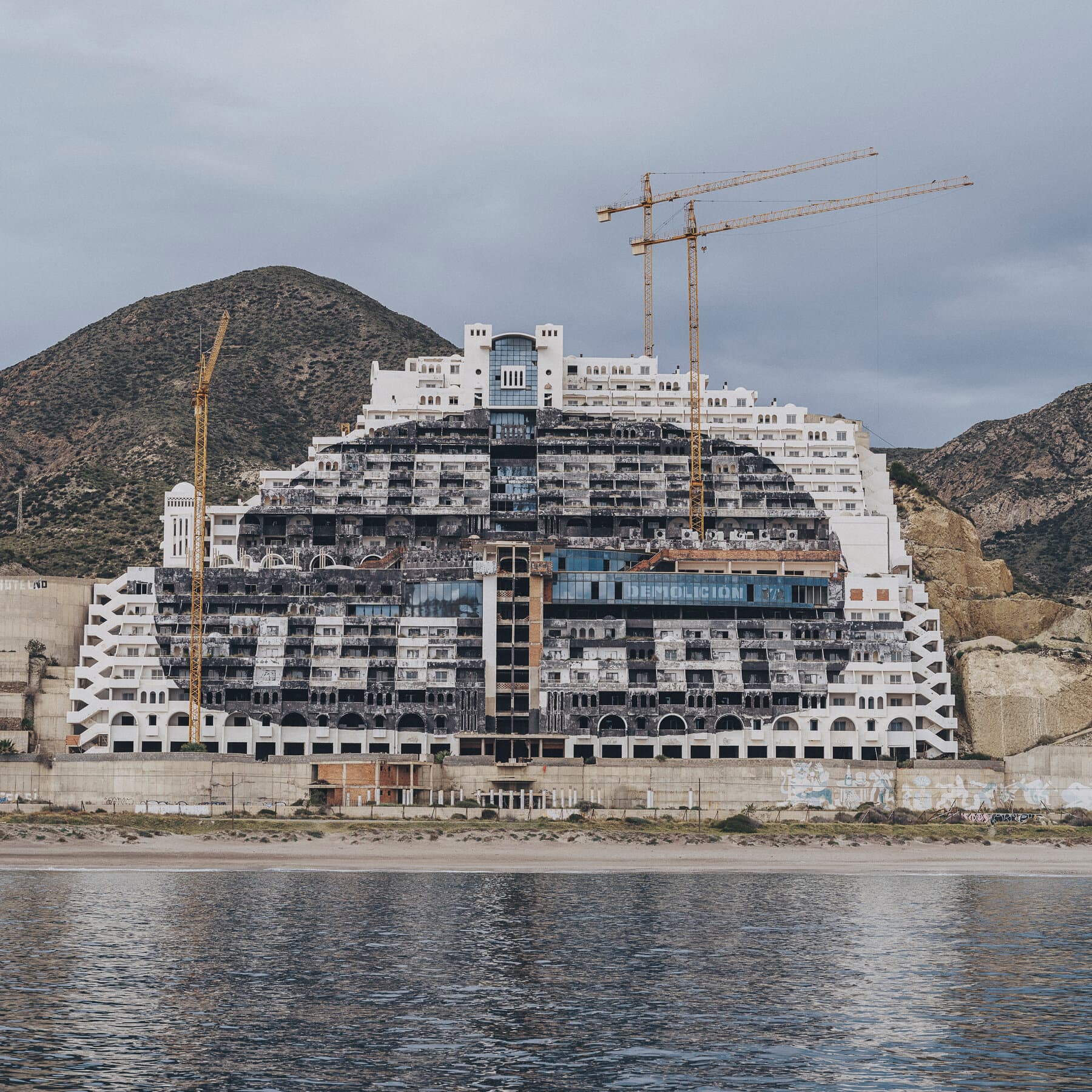
Why do Tiermas, Ruesta, and Esco matter for urbex in Aragón?
Tiermas, Ruesta, and Esco matter because they show a different type of abandonment from classic industrial urbex. These are depopulated settlements shaped by reservoir projects, infrastructure change, and long-term rural decline.
Tiermas is the best known of the three because the old spa town and reservoir setting create a very distinctive landscape. Ruesta is especially relevant for photographers and researchers interested in ruined village form along the historic pilgrimage corridor. Esco feels more remote and more fragile, which is exactly why caution matters.
These places are visually powerful, but they are also structurally unpredictable. Stone collapses, vegetation, heat, and isolation are real factors. In practice, many researchers limit themselves to public viewpoints, surrounding roads, and exterior documentation.
Safety reminder: never force entry, climb unstable masonry, or cross barriers. A good urbex map is a planning tool, not permission to trespass.
How should you plan an urbex route from Pau or Hendaye responsibly?
The best route depends on which side of the Pyrenees you want to prioritize. From Hendaye, the most efficient logic is the Basque coast first and Navarra second. From Pau, the more coherent line is the Aragón side through the mountain corridor toward the Yesa area.
A practical planning checklist is simple:
- confirm whether the site can be viewed legally from public land
- avoid night visits and bad-weather approaches
- prepare for long distances between services
- bring offline navigation, water, and conservative timing
- treat every abandoned village as structurally unstable unless clearly managed otherwise
For broader regional planning, you can Browse all urbex maps. For a free starting point, use the CTA below.
How does a curated urbex map help in Spain?
A curated urbex map helps by reducing bad assumptions. In Spain, distance, road access, seasonal heat, local restrictions, and heritage sensitivity matter as much as the site itself.
MapUrbex focuses on verified locations, research value, and preservation-first guidance. That matters even more near the Pyrenees, where some sites are remote and where the most interesting places are often better documented from the outside than explored from within.
The result is simple: fewer wasted drives, fewer risky decisions, and better respect for the places themselves.
FAQ
Are Pau and Hendaye in Spain?
No. Pau and Hendaye are in France. They matter here because they are practical gateway cities for reaching the western Pyrenees and nearby abandoned places in northern Spain.
What kinds of abandoned places are most common near the Spanish Pyrenees?
The most common and notable examples are abandoned forts, depopulated villages, and former spa or infrastructure landscapes. Northern Spain is less factory-heavy than some other European urbex regions.
Can you legally enter these abandoned places?
That depends on ownership, barriers, conservation status, and local rules. In many cases, the responsible option is exterior viewing from public land only. Never assume that abandonment means free access.
Which side is better for urbex spots near Pau?
The Aragón side is usually the most logical from Pau, especially for the Yesa corridor and the abandoned villages of Tiermas, Ruesta, and Esco.
Which side is better for urbex spots near Hendaye?
The Basque Country and Navarra side are usually the strongest starting points from Hendaye, especially for Hondarribia and the Pamplona area.
Conclusion
A useful Spain urbex map for the Pyrenees is not just a list of ruins. It is a route-planning tool that helps you understand geography, site type, legal context, and safety before you travel.
If your goal is to find abandoned places in Spain near Pau or Hendaye, start with five reference locations: Fuerte de Guadalupe, Fort San Cristóbal, Tiermas, Ruesta, and Esco. They are varied, historically meaningful, and best approached with a preservation-first mindset.
Access the free urbex map