 MapUrbex
Use a curated Luxembourg urbex map to research abandoned places responsibly, compare site types, and plan safer, legal visits.
Luxembourg Urbex Map: Find Abandoned Places Responsibly
Looking for a Luxembourg urbex map usually means you want a faster way to research abandoned places without wasting time on vague forum posts or outdated pins.
A good map does more than show coordinates. It helps you sort places, understand context, and plan responsibly. For urban exploration in Luxembourg, that matters because access rules, ownership, and site conditions can change quickly.
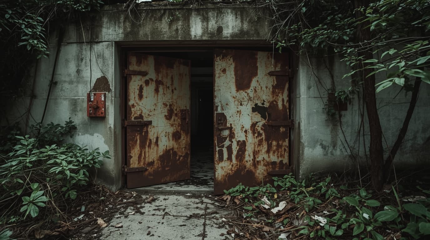
What is the best Luxembourg urbex map?
The best Luxembourg urbex map is a curated and regularly updated map that helps you research abandoned places in Luxembourg with clear context, useful filters, and safety reminders. It should support responsible planning, not trespassing. In practice, the most useful map is one that prioritizes verified locations, preservation-first exploration, and current information over random public pins.
Quick summary
- A Luxembourg urbex map is most useful when it is curated, updated, and organized by site type.
- The best maps help you research abandoned places in Luxembourg without relying on unreliable social posts.
- Responsible urban exploration means respecting property, local law, and the condition of each site.
- Not every abandoned-looking place is safe, accessible, or legal to enter.
- A strong map should include context, not just coordinates.
- MapUrbex focuses on verified locations, curated data, and preservation-first use.
Quick facts
| Point | Why it matters |
|---|---|
| Country scope | Luxembourg is compact, so route planning and border proximity matter. |
| Main use case | People use a map to save research time and compare site types. |
| Best data format | Searchable maps with categories are easier to use than scattered lists. |
| Safety baseline | Exterior scouting in daylight is lower risk than unknown interior entry. |
| Legal baseline | Permission and access status matter more than the age of the site. |
Why use a curated map of abandoned places in Luxembourg?
A curated map of abandoned places in Luxembourg saves time and reduces mistakes. Instead of chasing reposted coordinates, you can start with organized information.
That matters in a small country where many locations are close to roads, homes, active infrastructure, or borders. A raw pin is rarely enough. You need context about the type of place, likely condition, and whether the location is suitable only for exterior documentation.
Curated maps are also better for preservation. They help users avoid reckless exposure, repeat misinformation, and site damage caused by viral sharing.
If you want a broader overview of available resources, Browse all urbex maps.
Which urbex locations in Luxembourg are usually researched?
People searching for urbex locations in Luxembourg are usually looking for categories rather than one exact place. Commonly researched types include former military structures, bunkers, industrial remains, disused rail-related sites, empty houses, and rural buildings.
Availability changes over time. Some places are demolished, renovated, fenced, monitored, or converted to new uses. That is why a Luxembourg abandoned places map should never be treated as permanent truth.
A useful map helps you filter by category and region, then verify the latest situation before any trip. If your goal is planning rather than guesswork, start with Access the free urbex map.
How can you use a Luxembourg urbex map responsibly?
You should use a Luxembourg urbex map as a research tool, not as an invitation to force access. Responsible exploration starts before the visit.
Use this checklist:
- Confirm whether the place is private property, restricted land, or part of active infrastructure.
- Prefer exterior observation first, especially if the current access status is unclear.
- Avoid sharing sensitive entry details publicly.
- Do not break locks, fences, boards, or windows.
- Leave everything as found and take nothing.
- Skip unstable structures, waterlogged floors, shafts, roofs, and confined spaces.
- Go in daylight and tell someone your plan if you are lawfully visiting a site.
MapUrbex follows a preservation-first approach. The goal is documentation and research, not disruption.
What should you check before any visit?
Before any visit, check legality, safety, and recency of information. Those three factors matter more than the visual appeal of a site.
A practical pre-visit review includes:
- The latest map note or source date.
- Public access restrictions and property status.
- Signs of current activity, redevelopment, or surveillance.
- Distance from roads, neighborhoods, and active transport corridors.
- Weather, daylight, and phone coverage.
- Whether the site is better documented from outside only.
For method tips, read How to Find Abandoned Places Near You. If you want a downloadable starter resource, see Free Urbex Map: Download the Updated PDF and Google Maps Version.
Is a free map enough for urban exploration in Luxembourg?
A free map can be enough for initial research, but it is usually not enough for deep planning. Free resources are useful for discovery. Curated resources are better for sorting, comparing, and revisiting places efficiently.
| Resource type | Best for | Limits |
|---|---|---|
| Free urbex map | Quick discovery and broad orientation | Often less filtered and less detailed |
| Curated map | Structured research and route planning | Requires you to use the data responsibly |
| Viral coordinate lists | Fast browsing | High risk of outdated or low-context information |
If you want a starting point, use Access the free urbex map. You can also check Free Urbex Map: Download the 500+ Hidden Places List [PDF] for additional research material.
FAQ
Is urban exploration legal in Luxembourg?
Urban exploration is not automatically legal just because a place looks abandoned. Property rights, restricted areas, and safety regulations still apply. Always check ownership, posted rules, and whether permission is required.
Does a Luxembourg abandoned places map guarantee access?
No. A map helps with research, but it cannot guarantee that a location is open, safe, or lawful to enter. Conditions change quickly.
Are coordinates always public?
Not always, and they should not always be shared widely. Sensitive sites can be damaged by mass exposure. Responsible mapping balances usefulness with preservation.
What basic gear makes sense for low-risk exterior scouting?
For lawful daylight scouting from public or permitted areas, simple gear is usually enough: charged phone, flashlight, sturdy shoes, water, and weather-appropriate clothing. Skip unnecessary risk and do not enter unstable structures.
How often should map information be checked?
Check it as close to the visit as possible. Abandoned sites can change status within days because of fencing, work, demolition, or monitoring.
Conclusion
A Luxembourg urbex map is most valuable when it helps you research smarter, not take bigger risks. The best option is a curated map that supports verified locations, responsible urban exploration, and preservation-first decisions.
Use maps to save time, compare categories, and prepare carefully. Do not use them to bypass property rules or force entry. That is the difference between useful documentation and harmful behavior.
Access the free urbex map
