 MapUrbex
A practical guide to saving, organizing, and protecting your favorite urbex locations on Google Maps without exposing sensitive spots.
How to Save Your Favorite Urbex Locations on Google Maps
Saving urbex locations on Google Maps is one of the easiest ways to keep your research organized. It works well for personal planning, trip preparation, and comparing multiple spots in the same area.
It is not, however, a complete urbex workflow on its own. Google Maps helps you store places, but it does not verify access, legal status, safety conditions, or whether a location is overexposed.
That is why responsible explorers usually combine private Google Maps lists with a preservation-first method: keep sensitive places discreet, avoid publishing access details, and use curated sources when you need verified context.
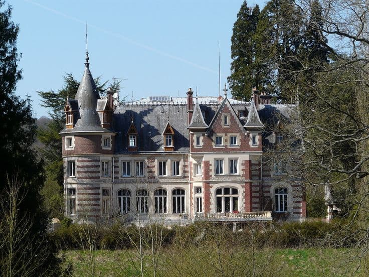
How do you save your favorite urbex locations on Google Maps?
To save your favorite urbex locations on Google Maps, open a place, tap or click "Save," and add it to a private list such as Favorites, Want to go, or a custom list. For better organization, group spots by region, building type, or trip status, and avoid publicly sharing exact access points for sensitive abandoned places.
Quick summary
- Google Maps is useful for organizing urbex spots, not for verifying them.
- Private saved lists are usually the safest way to store favorite abandoned places.
- A clear naming system makes a large urbex location list much easier to manage.
- For sensitive sites, save the general area rather than precise entry-related details.
- Google My Maps is better than standard saved lists when you need layers and custom notes.
- Curated tools such as MapUrbex help add verified context to your personal map workflow.
Quick facts
- Best use: personal organization of favorite urbex places
- Weak point: Google Maps does not confirm legality, condition, or current accessibility
- Safest default: keep lists private
- Good categories: region, site type, priority, revisit status
- Public sharing risk: vandalism, trespassing, and rapid overexposure
- Responsible rule: never publish forced-entry tips or exact access instructions
Which Google Maps tool should you use for urbex locations?
The best Google Maps tool depends on how detailed your system needs to be. Standard saved places are enough for simple bookmarking, while Google My Maps is better if you want layers, route planning, or structured trip maps.
| Tool | Best use | Strength | Limitation |
|---|---|---|---|
| Starred places | Fast personal bookmarking | Very quick to save | Poor for larger collections |
| Favorites | Important spots you may revisit | Easy to recognize | Limited structure |
| Want to go | Future trip planning | Good for tentative spots | Not ideal for final archives |
| Custom lists | Building a real urbex location list | Flexible categories | Still basic for notes and layers |
| Google My Maps | Advanced urbex map organization | Layers, labels, route logic | More setup required |
For most people, the simplest starting point is a private custom list. If the list becomes large, split it into categories such as factories, villas, hospitals, or country-by-country folders.
How do you create a private list of urbex spots on Google Maps?
The easiest method is to create one or more private custom lists directly inside Google Maps. This keeps your spots accessible on desktop and mobile without turning them into a public urbex map.
A practical workflow looks like this:
- Search for the place or drop a pin on the area.
- Open the place card.
- Select "Save."
- Choose an existing list or create a new one.
- Keep the list private unless you have a strong reason to share it.
- Use consistent titles so the list stays searchable later.
Useful list ideas include:
- Confirmed favorites
- Research in progress
- Weekend trip options
- Industrial sites
- Religious buildings
- Photo return locations
If you are building a serious urbex map for yourself, avoid storing everything in one giant list. Small themed lists are easier to review before a trip.
How should you name and organize your urbex spots?
A good naming system is what turns scattered pins into a usable research database. The best structure is simple, consistent, and easy to scan on a phone.
A common format is:
- Country or region
- Site type
- Reliability level
- Visit status
For example:
- North France - Manor - Research
- Berlin Area - Factory - Verified exterior
- Osaka Region - School - Archive only
This approach helps you sort your favorite urbex places without relying on memory alone. It also reduces mistakes when several abandoned places in the same city have similar names.
You can also organize by decision stage:
- To research
- Worth a detour
- High priority
- Already photographed
- Do not revisit
Short labels are better than long notes. If you need more context, Google My Maps or a separate private document can hold the deeper research.
Should you save exact access points or only general locations?
In most cases, you should save the general location, not exact access details. That reduces the risk of spreading information that can lead to trespassing, break-ins, vandalism, or damage to fragile places.
For responsible urbex, separate location memory from access instructions. A personal map can remind you where a site is without documenting a fence gap, broken door, or hidden route.
A safer standard is:
- Save the building or general site area
- Do not name entry points in public lists
- Do not attach forced-access tips
- Re-check legal status before any visit
- Respect closures, signs, and active ownership
This matters even more for small chapels, villas, schools, and sites that are still structurally unstable. Preservation-first mapping protects places from avoidable exposure.
When is Google My Maps better than standard Google Maps lists?
Google My Maps is better when a simple saved list is no longer enough. It gives you more control over layers, categories, routes, and trip planning.
Use My Maps if you want to:
- Separate countries, regions, or travel routes
- Color-code site types
- Build a road-trip map
- Add longer labels or planning context
- Visualize clusters of spots before travel
Standard Google Maps is faster for daily saving. My Maps is better for building a structured urbex map over time.
Many explorers use both. They save a place quickly in Google Maps first, then move their best spots into a more organized My Maps project later.
How can you share urbex locations responsibly?
Responsible sharing means protecting places before promoting them. In practice, that usually means sharing less detail, with fewer people, and only when there is a clear reason.
A responsible sharing checklist:
- Share only with trusted people when necessary
- Avoid public posts with exact abandoned locations
- Never publish entry methods or security weak points
- Check whether a site is active, protected, or recently monitored
- Remove locations that become unsafe or heavily exposed
If you are new to preservation-first research, these guides can help frame the right approach: Abandoned Places Near Me: How to Find Nearby Urbex Spots Responsibly and Urbex Tokyo: A Responsible Guide to Haikyo and Abandoned Places in Japan.
Why does MapUrbex work well alongside Google Maps?
Google Maps is strong for personal bookmarking. MapUrbex is strong for curated discovery, verified locations, and a responsible map workflow built specifically for urbex.
That combination is useful because the two tools solve different problems:
- Google Maps helps you save and organize your own spots
- MapUrbex helps you discover curated locations more efficiently
- Verified context reduces wasted research time
- Preservation-first filtering supports safer, more responsible exploration planning
If you want to compare broader map options, read Best Urbex Maps in the World: Where to Find Verified Locations. You can also Browse all urbex maps to see how curated map collections are structured.
FAQ
Can I keep an urbex list private on Google Maps?
Yes. A private list is usually the best default for urbex locations. It helps you stay organized without exposing abandoned places to unnecessary traffic.
Should I make my urbex list public?
Usually no. Public lists can spread sensitive spots quickly, especially smaller locations that are easy to damage or enter illegally. If you share anything, keep the information limited and responsible.
What details should I save for each location?
Save only what helps you research responsibly: area, site type, trip priority, and whether the location still needs verification. Avoid publishing access instructions, vulnerable entry points, or anything that encourages trespassing.
Is Google Maps enough for building an urbex map?
It is enough for basic organization, but not for full verification. Google Maps does not tell you whether a place is legally accessible, structurally safe, still abandoned, or already overexposed.
Can I use Google Maps offline for urbex planning?
Yes, offline areas can help with route planning in low-signal regions. Still, offline maps do not replace fresh research, local laws, weather checks, or on-site safety judgment.
Conclusion
If your goal is to record favorite urbex locations on Google Maps, the best method is simple: create private lists, organize them consistently, and keep sensitive information minimal. Google Maps is excellent for personal structure, but it works best when combined with verified research and a preservation-first mindset.
For responsible explorers, the key rule is clear: save places for planning, not for exposing them.
Access the free urbex map
