 MapUrbex
A practical guide to photographing abandoned places discreetly by removing metadata, hiding visual clues, and sharing urbex images responsibly.
How to Photograph an Abandoned Place Without Revealing Its Location
Photographing abandoned places is often a balance between documenting a site and protecting it. A strong image can preserve atmosphere, architecture, and history, but it can also reveal more than intended.
If you want to photograph an abandoned place without revealing its location, you need to control both visible clues and invisible data. That means thinking about framing, captions, metadata, posting timing, and the ethics of sharing.
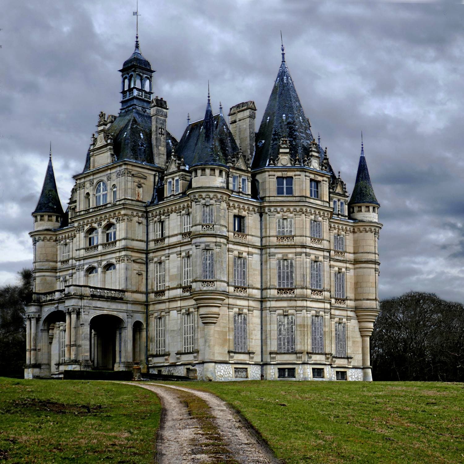
Can you photograph an abandoned place without revealing its location?
Yes. You can usually photograph an abandoned place without revealing its location if you remove geotag metadata, avoid recognizable landmarks, hide route clues, and keep captions vague. The goal is not secrecy for its own sake. The goal is preservation-first sharing that does not make a vulnerable site easier to find, damage, or exploit.
Quick summary
- Turn off camera geotagging before you shoot.
- Remove EXIF and location metadata before exporting or posting.
- Crop, blur, or avoid signs, street names, business names, and unique views.
- Do not post live updates, route screenshots, or detailed captions.
- If a place is fragile or highly identifiable, do not publish the image at all.
- Use responsible discovery tools and curated resources instead of public coordinate drops.
Quick facts
- Main goal: share the image, not the coordinates.
- Biggest risks: EXIF metadata, road signs, skyline views, captions, and behind-the-scenes content.
- Best workflow: disable geotagging, edit carefully, export clean files, review before posting.
- Legal reminder: never trespass, force entry, or disclose information that encourages damage or unsafe access.
- MapUrbex approach: verified locations, responsible urbex, preservation-first publishing, and curated maps.
Which visual details reveal a location even if you never name the place?
Small details often reveal more than a title ever will. In urbex photography, a location is commonly exposed by background elements, access clues, or a distinctive exterior view rather than by the abandoned building itself.
A broken window with a church spire in the distance, a road sign reflected in glass, a station name on a wall, or a unique mural can be enough for reverse image search communities to identify a site quickly. This is especially true for well-known regions with active explorers.
| Clue type | Why it is risky | Safer approach |
|---|---|---|
| Street signs or house numbers | They can identify the exact street immediately | Crop them out or choose tighter compositions |
| Distinctive skyline or mountain view | It allows fast visual matching | Shoot inward, lower your angle, or blur the background |
| Station, factory, or company names | These are searchable identifiers | Avoid them or obscure them in post-processing |
| Car plates, storefronts, local posters | They connect the site to a neighborhood | Retouch or exclude them from the frame |
| Access paths, gates, parking spots | They reveal how to reach the site | Never show approach routes or entry points |
| Highly unique exterior facades | They are easy to geolocate from maps | Prefer interior details and non-identifying textures |
A good rule is simple: if someone could use your photo to confirm a guess on satellite view or Street View, the image may be too revealing.
How should you manage photo metadata for urbex shots?
Metadata management is essential because a discreet image can still contain exact coordinates in the file itself. Many phones and cameras store EXIF data such as GPS location, capture time, device model, and lens information.
Before shooting, disable location tagging in your camera or phone settings. That prevents the most obvious problem at the source.
Before posting, check the exported file again. Some editing apps preserve metadata by default, while others strip it automatically. Do not assume the platform will protect you. Some social platforms remove parts of EXIF data, but that varies by service and can change over time.
A practical workflow looks like this:
- Disable geotagging before the visit.
- Import the files into your editor.
- Export a web version without GPS or unnecessary EXIF fields.
- Review the final uploaded image, caption, filename, and comments.
Also review filenames. A file named old-mill-north-yard-lyon.jpg defeats the entire purpose.
How can you hide geolocation clues without ruining the photo?
You do not need to destroy the image to protect the site. Most discreet urbex photography relies on selective framing, simple retouching, and disciplined publishing rather than heavy censorship.
Start with composition. Tight interior shots, details of decay, textures, staircases, machinery, and light beams are usually safer than wide establishing shots. If you want atmosphere without location exposure, prioritize mood over orientation.
Then use light editing when necessary:
- Crop out signs, road markings, and neighboring buildings.
- Blur small identifiers that are not central to the image.
- Darken windows if the outside view is too recognizable.
- Remove reflections that show parked cars, shop names, or landmarks.
- Avoid panoramic sequences that rebuild the full space.
Do not rely on blur alone. If the place is famous, a partial clue is often enough. In those cases, choose another frame or skip publication.
What should you avoid posting in captions, Stories, and behind-the-scenes content?
The caption often reveals the location faster than the photo. Many sites are exposed through casual details such as travel time, nearest city, date of visit, or an offhand comment about the access road.
Avoid posting:
- live Stories from the site
- route maps or GPS screenshots
- train station names or nearby town tags
- exact region plus a recognizable image
- entry method, parking details, or door status
- comments like "20 minutes from downtown" or "next to the old paper mill"
Hashtags can also narrow the search. Combining regional tags with urbex tags makes identification easier. If the site is sensitive, generic captions are better than playful clues.
A delayed post is often safer than a same-day post. Publishing weeks or months later reduces the value of incidental timing clues.
When is it better not to publish a photo at all?
Sometimes the safest way to protect a location is simply not to post it. This is especially true for fragile places, active vandalism targets, sites with easy public access, or locations that contain valuable artifacts, archives, religious objects, or dangerous hazards.
Do not publish if the image clearly shows:
- a unique facade visible from the road
- the exact entry point
- a rare intact interior that will attract attention quickly
- current security weaknesses
- nearby business names, street layout, or trailhead markers
Responsible urbex photography is not only about what you can share. It is also about what you choose to withhold.
How does responsible urbex photography fit MapUrbex ethics?
Responsible urbex photography protects places from exposure-driven damage. That is fully aligned with MapUrbex: verified locations, curated maps, and preservation-first exploration.
If you are building better habits, start with Urbex Ethics: Rules for Responsible Urban Exploration and The Golden Rules of Urbex: Ethics and Safety for Responsible Exploration. If you are tired of recycled coordinates and unreliable posts, read Why Most Urbex Lists Are Fake, and How to Find Real Places.
Curated resources are useful because they reduce random public exposure. You can also Browse all urbex maps if you want a structured, preservation-minded way to research places.
FAQ
Should I remove EXIF metadata even if I already turned off geotagging?
Yes. Turning off geotagging helps, but it does not guarantee a clean file. Always check the final export before posting.
Is blurring a sign enough to protect the location?
Not always. A skyline, facade, nearby monument, or caption can still identify the place. Blurring works best as one layer in a broader protection workflow.
Can I share the location privately with someone I trust?
That depends on your relationship, their ethics, and the vulnerability of the site. Private sharing is safer than public posting, but it still creates risk. Share selectively and never with people who pressure you for forced access, vandalism, or reckless behavior.
Do drone images reveal too much?
Often, yes. Aerial shots can expose access roads, neighboring landmarks, roof shape, and exact layout. For sensitive places, drone content is usually much easier to geolocate than interior photography.
Does posting months later solve the problem?
It helps, but it does not solve everything. Timing is only one clue. Visual identifiers and metadata remain the main risks.
Conclusion
To photograph an abandoned place without revealing its location, think beyond the image itself. Remove metadata, control the frame, avoid descriptive captions, and publish only when the result does not expose the site.
The best urbex photography documents a place while reducing harm. That is the standard worth following.
Access the free urbex map
