 MapUrbex
A practical guide to augmented reality apps for urbex, with clear advice on safety, limits, verified maps, and responsible visits to abandoned places.
Augmented Reality Apps for Urbex: How to Visit Ghost Places More Responsibly
Urban exploration has become more digital. Many explorers now use mapping tools, offline notes, and location-based overlays before they ever step near a site.
That shift makes augmented reality useful, but only when it supports responsible urbex. The goal is not to glamorize entry into unsafe or private places. The goal is to understand context, verify information, and reduce harm to abandoned places.
What are augmented reality apps for urbex?
Augmented reality apps for urbex overlay maps, historical notes, wayfinding, or reconstructions onto a phone screen. Their best use is educational and practical: helping people research abandoned places, compare old and current layouts, and prepare safer, more respectful visits. They do not make a site legal to enter, and they should never replace local laws, property rights, or basic risk assessment.
Quick summary
- AR is most useful before or around a visit, not as a replacement for access rules.
- The best urbex applications combine verified location data, offline maps, context, and note-taking.
- Ghost place visits are safer when AR is paired with clear boundaries, daylight planning, and legal access checks.
- Historical overlays can improve understanding without touching or moving anything on site.
- GPS drift, poor signal, and outdated data are common limits in abandoned places.
- Curated resources such as Browse all urbex maps help reduce guesswork.
Quick facts
- Primary use: planning, orientation, interpretation, documentation
- Best device features: offline maps, geolocation, compass, camera, battery saver
- Main benefit: more context with less physical impact on the site
- Main risk: false confidence from inaccurate overlays
- Legal reminder: AR does not grant permission to enter private or restricted property
How does augmented reality change urban exploration?
Augmented reality changes urban exploration by adding context to physical space. Instead of looking at an abandoned place as a blank ruin, a visitor can compare visible structures with historical imagery, notes, or geotagged observations.
In practice, that means a phone can show approximate building outlines, past uses, nearby hazards, or route markers. This is especially helpful when visiting ghost places with fragmented histories.
The most responsible use is interpretive. AR should help you learn what a place was, how it changed, and why it matters. It should not be treated as a shortcut for breaking barriers or entering unstable structures.
Which types of AR apps are actually useful for visiting ghost places?
The most useful AR tools are the ones that solve real field problems. They help with orientation, verification, and documentation more than spectacle.
| App type | What it adds | Best use in urbex | Main limit |
|---|---|---|---|
| AR map overlays | Points of interest, access context, nearby features | Comparing a curated map with the real environment | GPS drift near large structures |
| Historical reconstruction tools | Past photos or 3D layers | Understanding what a site used to be | Reconstructions may be partial |
| Geotagged note apps | On-site notes tied to location | Recording hazards, entrances, or observations responsibly | Data can become outdated quickly |
| Navigation apps with camera view | Visual direction cues | Staying oriented around large sites | Weak signal in remote or indoor areas |
| Documentation apps | Labels, measurements, photo organization | Building a non-invasive visit record | Camera data is not a safety guarantee |
For most users, the right stack is simple: a verified map, offline navigation, structured notes, and a basic AR overlay. More features are not always better.
Can augmented reality help you explore abandoned places more responsibly?
Yes, AR can support responsible exploration when it reduces uncertainty and limits unnecessary contact with the site. Clearer navigation means less wandering, fewer accidental boundary crossings, and less pressure to test blocked routes.
It also encourages observation over interaction. If you can identify a room, compare an old layout, or log details from a safe distance, you are less likely to move debris, open barriers, or damage fragile remains.
Safety reminder: never use an app as proof that a place is safe or accessible. Structural instability, toxic materials, water damage, and legal restrictions still apply.
A preservation-first approach is simple. Leave no trace, do not force entry, do not publish sensitive access details irresponsibly, and avoid actions that attract copycat damage.
How should you choose the best augmented reality app for urbex?
Choose an app based on reliability, not novelty. In urbex, dependable data matters more than flashy effects.
Look for these criteria:
- offline access for weak-signal areas
- accurate location handling
- easy note capture
- low battery drain
- exportable records
- privacy controls
- clear distinction between verified and unverified information
It also helps to ask how the app fits your workflow. Some tools are better for desk research. Others are better for field orientation. Very few do both well.
If your priority is location quality, start with curated mapping rather than random social posts. Articles such as Best Urbex Maps in the World: Where to Find Verified Locations and How to Find Abandoned Places Responsibly explain why verified data is more useful than viral coordinates.
What are the limits of augmented reality in abandoned places?
The main limit is that AR depends on imperfect inputs. If GPS is wrong, the overlay is wrong. If the base map is old, the guidance may be misleading. If a site has changed, a reconstruction can create false confidence.
Abandoned places also create technical problems. Thick walls, underground spaces, broken sight lines, and weather can all reduce tracking quality. Battery drain is another practical issue on long visits.
There is also an ethical limit. Some ruins are culturally sensitive, privately owned, or already overexposed. Digital tools should not turn fragile places into gamified targets.
In short, AR is a support layer. It is not a permission system, a safety certificate, or a replacement for judgment.
Which MapUrbex resources work well with AR tools?
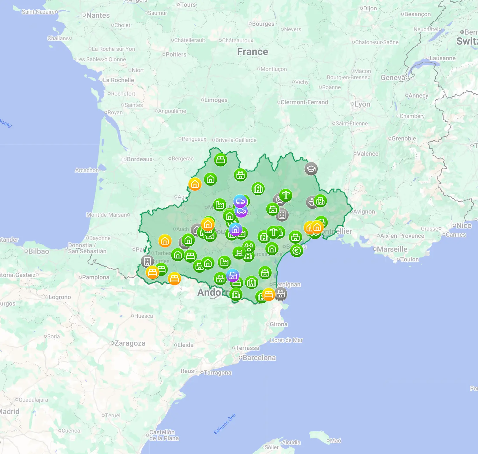
MapUrbex is most useful when AR needs a reliable base layer. A curated map helps you separate verified locations from vague rumors, which improves planning before any visit.
If you want a broad overview, start with Browse all urbex maps. If you want to test the workflow first, use the free option below. For destination-specific reading, Urbex Tokyo: A Responsible Guide to Haikyo and Abandoned Places in Japan shows how cultural context and responsible behavior matter as much as navigation.
FAQ
Are augmented reality apps for urbex good for beginners?
They can be useful for beginners if they are used for research and orientation, not risk-taking. A beginner benefits most from clear maps, safety notes, and legal awareness.
Can AR apps help me visit ghost places without entering them?
Yes. Many people use AR to interpret a site from public viewpoints, surrounding paths, or historical reference points. That is often the most responsible option.
Do urbex applications make abandoned places safer?
No app makes an abandoned place safe. At best, it helps you prepare better and avoid preventable mistakes. Real hazards still need conservative judgment.
Is augmented reality better than a standard map for urban exploration?
Not always. A standard curated map is often the essential tool. AR becomes useful when you need extra context, visual orientation, or structured documentation.
Should I rely on social media coordinates instead of verified maps?
No. Social posts are often outdated, imprecise, or stripped of legal context. Verified and curated sources are more dependable for responsible planning.
Conclusion
Augmented reality apps for urbex are most valuable when they make exploration more informed and less invasive. Their strongest role is not spectacle. It is context, orientation, and documentation.
For visiting ghost places responsibly, the best workflow is simple: use verified locations, respect boundaries, plan conservatively, and let digital tools reduce impact rather than increase risk.
Access the free urbex map
