 MapUrbex
A practical guide to finding abandoned schools near you with public research, verification steps, and safety-first urbex methods.
Abandoned Schools Near Me: How to Find Them Responsibly
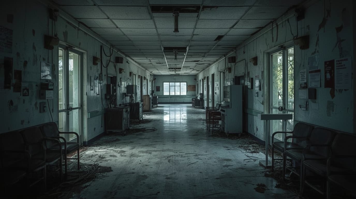
Finding abandoned schools near me is a common search because these buildings combine history, architecture, and strong visual atmosphere. Old classrooms, gyms, libraries, and workshops often tell a clear story about demographic change, school district mergers, or urban redevelopment.
The important point is simple: a closed school is not automatically a legal or safe urbex site. Many former schools are still owned, monitored, under renovation, or scheduled for demolition.
This guide explains how to research an abandoned school responsibly, how to verify whether it is truly disused, and how MapUrbex approaches verified locations with a preservation-first mindset.
How can I find abandoned schools near me responsibly?
Use public records, historic map layers, local news archives, and verified urbex maps to identify schools that appear closed or disused. Then confirm ownership, current status, and access restrictions before visiting. A building can look empty and still be active, monitored, or unsafe, so careful verification matters more than speed.
Quick summary
- Search public sources first: local news, planning documents, old school board notices, and historical imagery.
- Treat every school building as private or regulated property unless access is explicitly legal.
- Verify multiple signs of abandonment before adding a place to your list.
- Focus on preservation-first urbex: no forced entry, no vandalism, and no removal of objects.
- Exterior scouting and documentary research are often more responsible than attempting entry.
- Verified map tools save time because they filter rumor-based locations.
Quick facts
Abandoned schools exist in both rural and urban areas, but they tend to appear in recognizable patterns.
| Topic | Practical takeaway |
|---|---|
| Common causes | School consolidation, depopulation, budget cuts, disasters, and redevelopment |
| Typical features | Classrooms, auditoriums, gyms, cafeterias, labs, and playgrounds |
| Best research sources | Archives, zoning files, property records, local press, and old satellite imagery |
| Main legal issue | Closure does not equal public access |
| Main safety issue | Structural decay, mold, glass, water damage, and hidden hazards |
| Best approach | Verify first, scout carefully, preserve always |
What counts as an abandoned school?
An abandoned school is a school property that is no longer operating for its original educational purpose and shows credible signs of long-term disuse. That usually means the site has been closed for a period of time, is not maintained as an active campus, and has no clear public function in the present.
However, not every empty-looking school is abandoned. Some are temporarily vacant between projects. Others are used for storage, administration, community programs, or future redevelopment. In many countries, former schools are quickly converted into housing, offices, or cultural venues.
For urbex research, the most reliable definition is practical: the building should be independently confirmed as disused, not just visually neglected.
Where are abandoned schools usually found?
Abandoned schools are usually found in places where the local population changed faster than the built environment. Rural decline, industrial contraction, district mergers, and suburban relocation are common drivers.
You will often see patterns such as:
- Small towns that lost residents over decades
- Former industrial districts with shrinking family populations
- Villages where several schools were merged into one larger campus
- Urban neighborhoods awaiting redevelopment
- Regions affected by natural disaster, conflict, or infrastructure change
These patterns matter because they help you search more efficiently. Instead of typing only "abandoned school near me," look for demographic history, school closure lists, or former district facilities.
If you want a broader research framework, start with How to Find Abandoned Places Responsibly and compare mapping approaches in Best Urbex Maps in the World: Where to Find Verified Locations.
How do you verify that a school is truly abandoned?
You verify an abandoned school by matching several independent signals: historical evidence, current property status, recent imagery, local reporting, and visible lack of active use. One clue is never enough.
Start with the easiest public checks:
- Search the school name with terms such as closed, former campus, redevelopment, demolition, or auction.
- Compare current satellite imagery with older imagery.
- Check whether the school district or municipality published closure notices.
- Look for property listings, planning applications, or contractor announcements.
- Review street-level signs such as boarded windows, overgrowth, missing equipment, or fencing.
Responsible urbex starts with verification, not entry. If a site is posted, occupied, alarmed, or uncertain, do not cross the boundary.
A helpful rule is to separate appearance from status. Broken windows and faded paint can exist at active or secured sites. Verified abandonment means documented inactivity, not just visual decay.
What is the safest and most legal way to research a location?
The safest and most legal method is desk research first, exterior observation second, and access only when it is clearly permitted. That order reduces risk and avoids guesswork.
Useful sources vary by country, but these are commonly available:
- Local government planning portals
- Property or land registry databases
- County assessor records
- Historic newspaper archives
- School board meeting minutes
- Real estate auction platforms
- Publicly visible map layers and old aerial imagery
Map tools are especially useful when they are curated instead of crowd-rumor driven. You can Browse all urbex maps to compare research options, then use a verified workflow rather than chasing unconfirmed coordinates.
Why do abandoned schools attract urbex photographers?
Abandoned schools attract urbex photographers because they preserve strong everyday details: chalkboards, lockers, science labs, sports halls, libraries, and traces of institutional design. They also document social change in a way that is easy to read visually.
That said, schools are sensitive places. They may still contain records, personal materials, or signs of recent activity. Preservation-first practice matters here more than ever.
Good etiquette includes:
- Do not move classroom items for photos
- Do not publish information that would invite damage
- Do not remove documents or objects
- Do not force entry through doors, windows, or roofs
- Leave immediately if the site is active or if access is not lawful
For a global example of responsible place-based urbex culture, see Urbex Tokyo: A Responsible Guide to Haikyo and Abandoned Places in Japan.
FAQ
Is every closed school an abandoned school?
No. A closed school may be awaiting sale, renovation, conversion, or administrative reuse. Always verify current status with more than one source.
Can I enter an abandoned school if a door is open?
No. An open door does not create permission. Treat the property as restricted unless legal access is clearly established.
What gear is useful for responsible exterior scouting?
A charged phone, offline maps, weather-appropriate clothing, a flashlight for safe visibility outside dusk hours, and a notebook for research notes are useful. Specialized entry gear is not part of responsible guidance.
Are abandoned schools more common in cities or rural areas?
Both can have them, but the causes differ. Rural sites often result from depopulation or district consolidation, while urban sites often relate to redevelopment or institutional relocation.
What should I do if I find records or personal items?
Leave them in place and do not photograph sensitive personal data closely. Former schools can contain documents that still deserve privacy.
Conclusion
If you are searching for abandoned schools near me, the most effective method is not random driving or rumor-based tips. It is a structured process: identify likely closures, confirm long-term disuse, check ownership and legal status, and prioritize preservation over access.
That is also where curated tools help. Verified locations, documented context, and responsible mapping standards reduce noise and help you focus on research that is safer, clearer, and more useful.
Access the free urbex map
