 MapUrbex
A clear guide to finding abandoned places near you with better research, verified urbex maps, and essential legal and safety checks.
Abandoned Places Near Me: How to Find Local Urbex Spots Responsibly
If you are searching for abandoned places near me, the fastest results are rarely the most reliable. Old pins, recycled forum posts, and viral videos often point to demolished buildings, active private property, or locations that were never truly abandoned.
A better method is simple: start with stronger sources, verify what still exists, and treat access as a legal question, not a guessing game. That is where curated tools and preservation-first research matter.
MapUrbex is built around verified locations, responsible urbex, and curated maps. The goal is not to push risky behavior. It is to help people research better, travel smarter, and reduce harm to fragile places.
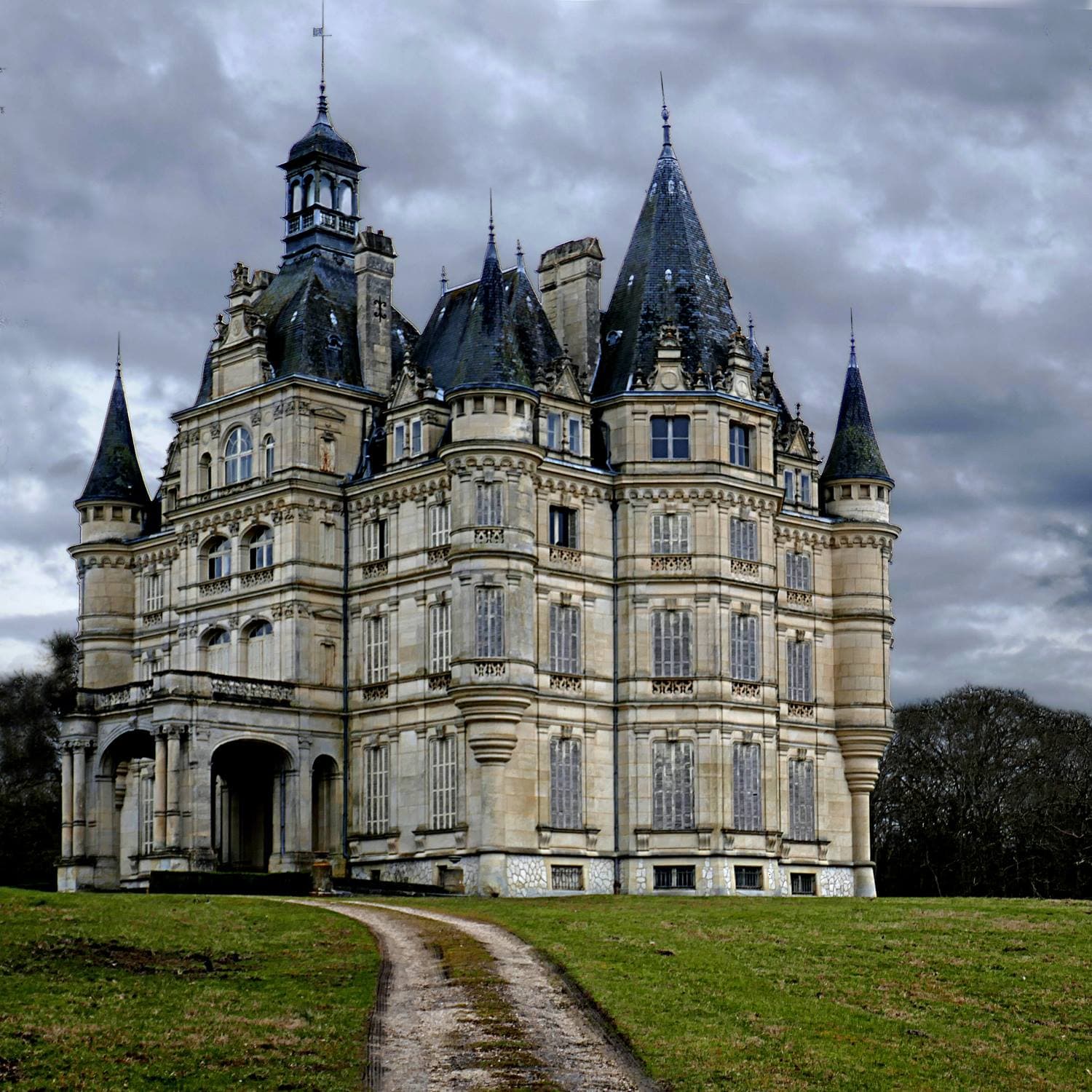
Where can you find abandoned places near you?
You can find abandoned places near you by combining a verified urbex map, recent satellite or street imagery, local history sources, and access checks. The important part is not only locating a site, but confirming that it still exists, understanding whether it is private property, and planning only legal, low-impact visits.
Quick summary
- Start with verified sources instead of viral social posts.
- Check whether the place still exists and whether access is legal.
- Use satellite view, street imagery, and local archives together.
- Expect many urbex near me results to be outdated or incomplete.
- Curated tools such as Browse all urbex maps reduce wasted time.
- Preservation comes first: no forced entry, no damage, and no public oversharing of fragile locations.
Quick facts
| Point | Practical takeaway |
|---|---|
| Best first step | Use a curated map and cross-check with recent imagery |
| Most common problem | Old leads for demolished, secured, or reused sites |
| Best free starting point | Public map tools plus a verified database |
| Main legal issue | Many abandoned-looking places are still private property |
| Main safety issue | Structural instability, glass, water, asbestos, and hidden drops |
| Best mindset | Research first, preserve always |
What is the safest and most reliable way to search locally?
The safest and most reliable way to search is to start with a curated database and then verify each location with current evidence. A map can save time, but it does not replace legal checks.
MapUrbex focuses on curated discovery instead of random rumor chains. If you want a broad starting point, Browse all urbex maps. If you want a no-cost entry point, Access the free urbex map.
For a wider overview of vetted mapping tools, read Best Urbex Maps in the World: Where to Find Verified Locations.
Which sources help identify abandoned places in your area?
Several public sources can help you find abandoned places nearby without depending on unreliable hype. The best results usually come from combining multiple weak signals into one strong conclusion.
- Satellite imagery can reveal collapsed roofs, overgrown lots, empty parking areas, and unused industrial yards.
- Street-level imagery can show boarded openings, signage, fencing, and visible renovation work.
- Local history groups often document former schools, factories, hospitals, hotels, and railway sites.
- Business directories can indicate whether a company is still active at an address.
- Planning records may show demolition permits, redevelopment, or ownership changes.
- Older urbex reports can provide clues, but they should be treated as historical references, not current proof.
If you want a more detailed research method, see How to Find Abandoned Places Responsibly.
How can an urbex map help without wasting time?
An urbex map helps by narrowing your research to places that are more likely to be real, relevant, and still standing. That matters because searches for abandoned places nearby often mix active ruins, inaccessible compounds, duplicate pins, and sites that disappeared years ago.
A useful urbex map does three practical things well:
- It shows geographic clusters clearly.
- It filters obvious false leads.
- It helps you compare routes and priorities before you travel.
The map is not the final answer. It is the first research layer that makes deeper verification faster.
How do you verify whether a site is truly abandoned?
You verify a site by checking whether several recent signals point in the same direction. One old photo, one forum thread, or one social post is not enough.
Use this simple verification framework:
| Source | What it can confirm | Typical limitation |
|---|---|---|
| Satellite view | Roof damage, vegetation, empty lots | Images may already be outdated |
| Street imagery | Boarding, signs of activity, fencing | Coverage is not always recent |
| Local archives | Historic use and closure timeline | Often weak on current condition |
| Business listings | Whether a company still operates there | Closed businesses can remain listed |
| Planning records | Demolition or redevelopment | Hard to interpret quickly in some areas |
A location is more likely to be genuinely abandoned when several of these signals match. It is less reliable when the only evidence is social media.
For a city-specific example of why cultural context matters, read Urbex Tokyo: A Responsible Guide to Haikyo and Abandoned Places in Japan.
What legal and safety rules matter before any visit?
The key rule is simple: finding a place is not permission to enter it. Many abandoned-looking locations are still owned, monitored, or dangerous.
Never trespass, force entry, break barriers, remove objects, or publish sensitive details that could accelerate vandalism or theft.
Keep these checks in mind:
- Respect private property and posted signs.
- Prefer public viewpoints, exterior photography, or places where permission is clear.
- Avoid unstable floors, roofs, basements, shafts, and standing water.
- Assume sharp debris, weak stairs, and hazardous materials may be present.
- Tell someone your plan and avoid remote solo visits.
- Leave no trace and never share access tricks.
Responsible urbex is about documentation and preservation, not conquest.
Why do many abandoned places near me results lead nowhere?
Many results fail because online information ages badly. Buildings are demolished, converted, secured, or reoccupied, but old lists and reposted coordinates stay online for years.
That is why local urbex research works best as a layered process:
- Find leads.
- Verify recency.
- Confirm legal context.
- Plan a low-impact visit only if appropriate.
FAQ
Is it legal to visit abandoned places near me?
Sometimes, but often not without permission. Abandoned does not mean public, and private property rules still apply.
What is the best free way to start finding local abandoned places?
A free urbex map, public satellite tools, and local history research are the best starting combination. They help you screen locations before you travel.
Are Google Maps and social media enough for urbex research?
No. They are useful for clues, but not for confirmation. Always cross-check with recent imagery and at least one other source.
How can I avoid fake, demolished, or overhyped spots?
Avoid single-source claims. Look for recent evidence, multiple matching signals, and notes about current condition rather than old photos alone.
Should I share exact coordinates publicly?
Usually not, especially for fragile places. Public oversharing can speed up vandalism, theft, and permanent closure.
Conclusion
If you want to find abandoned places near you, the best method is careful research rather than luck. Verified maps, current imagery, legal awareness, and preservation-first habits will produce better results than random searching.
MapUrbex supports that slower and more reliable approach: curated maps, clearer verification, and responsible discovery.
Access the free urbex map
