 MapUrbex
Looking for an abandoned places map in Canada? This guide explains how to find verified urbex locations, compare regions, and plan visits responsibly with MapUrbex.
Abandoned Places Map Canada: How to Find Verified Urbex Locations Responsibly
An abandoned places map in Canada helps you find disused factories, mines, hospitals, schools, and other forgotten sites without relying on random social posts. For urbex planning, the key advantage is not just location density. It is reliability.
Canada is large, access conditions change quickly, and many sites are demolished, sealed, repurposed, or actively monitored. That is why a curated map matters. MapUrbex focuses on verified locations, responsible urbex, and preservation-first discovery.
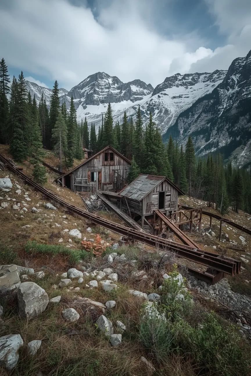
What is an abandoned places map in Canada?
An abandoned places map in Canada is a curated map that helps users identify disused or abandoned sites across the country for research, photography, history, and responsible urbex planning. The best maps do more than show pins. They help you filter outdated leads, avoid unreliable coordinates, and understand whether a location is still standing, accessible, or already gone.
A useful Canada urbex map should save time, reduce guesswork, and support safer planning. It should never be treated as permission to enter private or restricted property.
Quick summary
- A good abandoned places map in Canada helps you find locations faster and filter out dead leads.
- Verified mapping is more useful than random coordinates from forums or social media.
- The most searched Canadian urbex areas usually include former industrial, institutional, and mining sites.
- Access status matters as much as the location itself because many places are sealed, reused, or monitored.
- Responsible urbex means respecting laws, avoiding forced entry, and leaving every place untouched.
- MapUrbex is built around curated maps, verified locations, and preservation-first exploration.
Quick facts
- Primary use: planning abandoned site research and urbex trips in Canada
- Best for: photographers, historians, road trippers, and location researchers
- Coverage style: curated map entries rather than unverified dumps of coordinates
- Common site types: factories, mines, schools, hospitals, rail sites, churches, military remnants
- Key risk factor: legal access and current site condition can change quickly
- Best practice: verify status before any trip and respect all closures and private property rules
Why use a verified urbex map instead of random coordinates?
A verified urbex map is better because it reduces wasted travel, false leads, and safety mistakes. In Canada, distance is a major factor. Driving several hours to a sealed or demolished site is common when people depend on outdated lists.
Random coordinates often lack context. They may not tell you whether a building still exists, whether the perimeter is active, or whether redevelopment has already started. A curated resource is more useful because it adds structure to the search process.
If you want a broader starting point, Browse all urbex maps and compare how MapUrbex organizes locations by geography and research value.
Which types of abandoned places can you find across Canada?
Canada has a wide range of abandoned places, but the most common urbex categories are industrial sites, institutional buildings, transport infrastructure, and resource extraction sites. Each type creates different planning, safety, and legal issues.
| Type of place | Typical Canadian context | Common planning issue | Why mapping helps |
|---|---|---|---|
| Factories and mills | Former manufacturing zones in cities and small towns | Rapid redevelopment or fencing | Confirms whether the structure still exists |
| Mines and extraction sites | Remote regions, mountain zones, historic resource towns | Terrain hazards and long access distances | Helps assess route relevance before travel |
| Hospitals and schools | Older urban or suburban properties | Stronger monitoring and sealed entry points | Flags locations that may no longer be viable |
| Rail and transport sites | Stations, depots, yards, bridges | Active infrastructure nearby | Helps separate heritage remains from active risk areas |
| Religious or civic buildings | Churches, theatres, municipal properties | Unclear ownership or reuse status | Adds context before a visit |
This is also why the phrase abandoned places Canada covers very different realities. A mine in a remote area is not planned the same way as a hospital in a dense urban district.
Which regions in Canada attract the most urbex interest?
The highest urbex interest in Canada usually centers on regions with older industry, historic infrastructure, and dense redevelopment pressure. In practice, that often means parts of Ontario and Quebec, selected Atlantic areas, former mining zones, and scattered sites across the Prairies and British Columbia.
Montreal and Quebec attract sustained attention because of their layered industrial history and concentration of older buildings. If you want a city-focused starting point, see Urbex Canada: Top 10 Abandoned Places to Explore in Montreal, Quebec, and Beyond.
For a broader national overview, Top 10 Abandoned Places in Canada for Urbex in 2026 is a useful companion read.
How should you check legality, safety, and access before any visit?
You should check ownership, closure status, visible hazards, and local restrictions before visiting any abandoned place in Canada. A map pin is a research aid. It is not legal authorization, and it does not remove site-specific risks.
Use this checklist before any trip:
- Confirm whether the property is private, public, restricted, or actively managed.
- Look for signs of redevelopment, demolition, sealing, or fencing.
- Avoid forced entry, bypassing barriers, or entering unstable structures.
- Do not go alone in remote areas or harsh weather conditions.
- Respect local communities and never publish sensitive access details irresponsibly.
- Leave everything exactly as found. No vandalism, theft, or disturbance.
MapUrbex supports responsible urbex. That means preservation comes before content, and legality comes before curiosity.
How does MapUrbex help you plan more efficiently?
MapUrbex helps by turning scattered research into a curated decision tool. Instead of collecting unreliable screenshots and half-remembered forum posts, you can start with a structured Canada urbex map designed for real trip planning.
The practical value is simple:
- fewer outdated leads
- better geographic overview
- more consistent trip preparation
- easier comparison between regions and site categories
- stronger preservation-first habits
If you want to compare available map collections, Browse all urbex maps. If you want to start immediately, the simplest entry point is the free version below.
Why do abandoned places disappear so quickly in Canada?
Abandoned places disappear quickly in Canada because redevelopment, demolition, fire, weather, security upgrades, and adaptive reuse all change the landscape fast. A location that was open last year may now be sealed, restored, or completely removed.
That is exactly why a living map matters more than static lists. For recent examples of how quickly the scene changes, read Abandoned Places That Disappeared in 2025: Demolished, Reused, or Sealed.
FAQ
Is there a free abandoned places map for Canada?
Yes. A free map is useful if you want to understand the platform, explore the interface, and evaluate whether curated mapping fits your planning style before going deeper.
Are all abandoned places in Canada legal to enter?
No. Many abandoned places in Canada are on private property, restricted land, or hazardous sites. Mapping a place does not make entry legal. Always respect ownership, signs, closures, and local laws.
What makes a location verified on a map?
A verified location generally means the entry has been checked for relevance and current existence more carefully than an unmoderated coordinate dump. Verification improves planning quality, but users still need to assess real-time conditions on the ground.
Is a Canada urbex map useful for road trips?
Yes. Canada is large enough that route planning matters. A map helps cluster destinations, avoid long detours, and prioritize locations that still match your goals.
Should beginners rely on social media coordinates?
No. Social media coordinates are often outdated, incomplete, or shared without context. Beginners benefit more from curated resources and a strong focus on safety, legality, and preservation.
Conclusion
A strong abandoned places map in Canada should do three things well: help you find relevant sites, reduce wasted travel, and support responsible decisions. That is the difference between casual coordinates and a useful research tool.
MapUrbex is built for people who want verified locations, curated maps, and a preservation-first approach to urbex in Canada.
Access the free urbex map
