 MapUrbex
Learn how to find abandoned places with maps, public data, and careful verification while staying legal, safe, and respectful.
How to Find Abandoned Places Safely: A Practical Urbex Guide
Finding abandoned places is mostly a research task, not a luck-based one. Good urbex starts long before any trip, with maps, public information, local history, and careful verification.
The goal is not just to find any empty building. The goal is to identify locations that appear disused, assess whether access is legal, and avoid sites that are unsafe, occupied, or sensitive.
MapUrbex approaches this with a preservation-first mindset: verified leads, responsible exploration, and curated maps rather than risky guesswork.
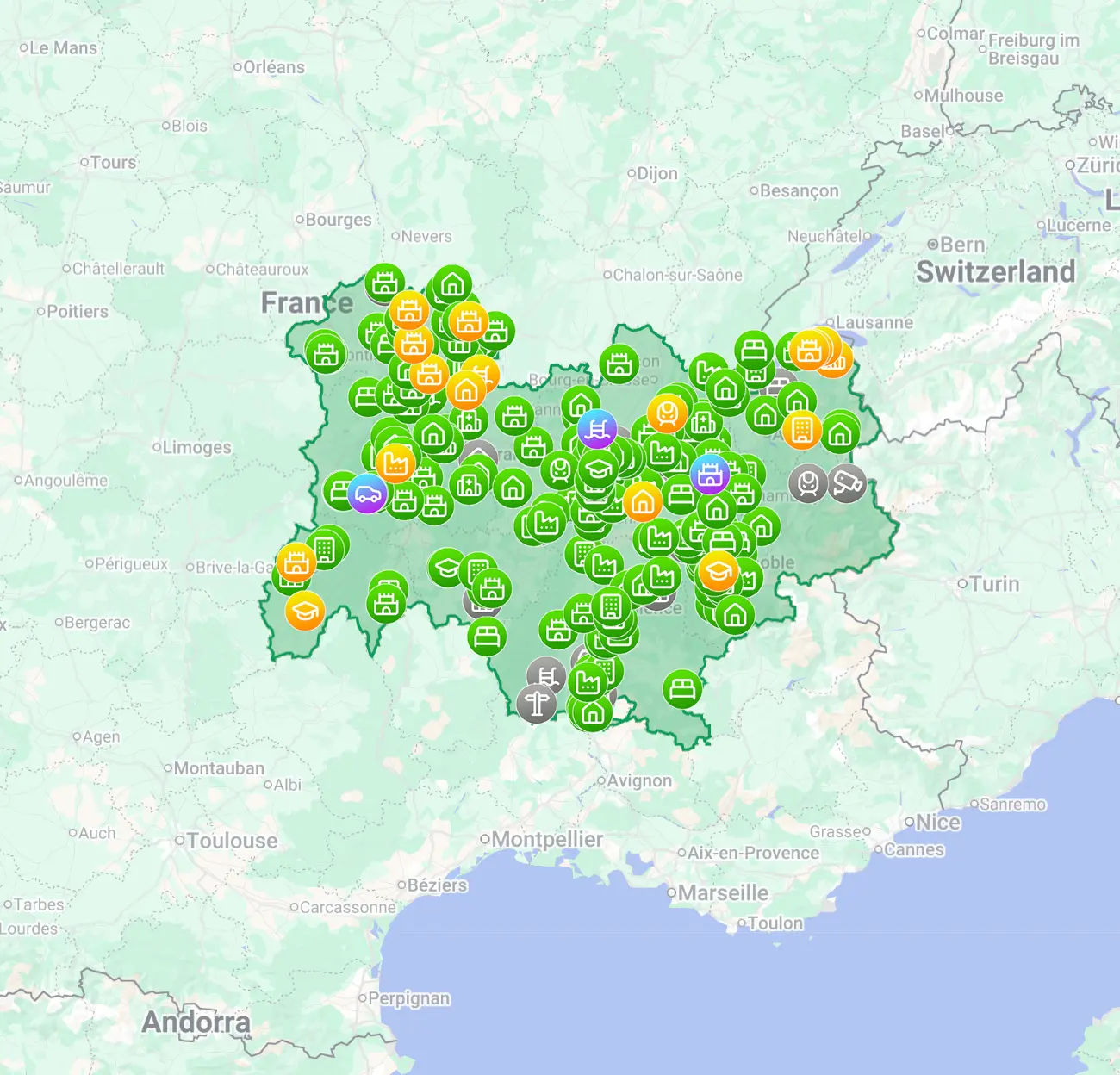
How can you find abandoned places safely and efficiently?
You can find abandoned places by combining satellite maps, street context, public records, historical sources, and on-the-ground observation from public areas. The reliable method is to cross-check several signals before you travel, then treat legality and safety as separate checks. A place that looks abandoned is not automatically legal or safe to enter.
Quick summary
- Start with maps and satellite imagery to identify isolated, unused, or derelict structures.
- Verify each lead with at least three signals: visual decay, land-use clues, historical data, and recent local information.
- Check legality before any visit. Permission matters more than appearance.
- Observe from public space first. Do not force entry, bypass barriers, or share sensitive access details.
- Use curated resources when possible to save time and reduce mistakes.
- Put safety first: structural instability, contamination, animals, and security systems are common.
Quick facts
- Best research tools: satellite view, cadastral data where available, historical maps, local archives, and curated urbex maps.
- Strong abandonment signs: boarded windows, roof failure, overgrowth, disconnected utilities, and long-term inactivity.
- Weak signs: one broken window, a dusty lot, or a closed business with intact maintenance.
- Minimum verification standard: compare maps, current imagery, and one recent human source.
- Legal baseline: stay in public areas unless you have explicit permission.
- Safety baseline: never assume an empty building is stable.
Which sources are most useful for finding abandoned places?
The most useful sources are maps, satellite imagery, public property information, historical documentation, and curated urbex databases. Each source shows a different part of the puzzle, so the best results come from combining them rather than relying on a single app or rumor.
| Source | What it reveals | Why it helps | Main limit |
|---|---|---|---|
| Satellite imagery | Roof damage, overgrowth, isolation, access roads | Fast first screening | Images may be outdated |
| Street-level context | Fences, notices, recent activity, building condition | Helps filter false leads | Coverage is inconsistent |
| Historical maps and archives | Past industrial or institutional use | Explains why a site may be derelict | Not always current |
| Public property data | Parcel boundaries, ownership clues, land use | Useful for legal context | Varies by country |
| Local newspapers and forums | Fires, closures, redevelopment plans | Adds recent context | Can be unreliable |
| Curated urbex maps | Pre-screened locations and research structure | Saves time and reduces noise | Still requires legal and safety judgment |
If you want a broader starting point, Browse all urbex maps to compare regions and research patterns.
How do you use maps and satellite imagery to spot abandoned buildings?
Maps and satellite imagery help you detect physical neglect before you travel. Look for buildings with damaged roofs, empty lots, vegetation reclaiming parking areas, unused service roads, or large sites with no visible activity.
A practical sequence works well:
- Start at industrial edges, former rail zones, old hospitals, military remnants, mills, hotels, and isolated farms.
- Switch between standard map view and satellite view.
- Mark suspicious sites, then zoom out to study context: roads, neighboring activity, and nearby businesses.
- Check whether the site looks maintained, redeveloped, or still active.
- Save only the locations that show multiple abandonment signals.
For a map-focused method, see How to Find Abandoned Places with Google Maps.
How do you verify whether a place is truly abandoned?
You verify a place by testing the same lead against several independent signals. One sign is never enough, because many closed-looking buildings are still owned, monitored, or temporarily inactive.
A strong verification checklist includes:
- structural decay that appears long-term, not recent;
- repeated imagery showing no maintenance;
- business records or local reporting indicating closure;
- absent vehicles, deliveries, or routine upkeep;
- neighborhood context that suggests disuse rather than renovation.
It also helps to rule out false positives. A shuttered factory may be under redevelopment. A quiet hospital wing may still belong to an active campus. A house with overgrown grass may still be occupied.
How can you do urbex without crossing legal or safety lines?
You can do urbex responsibly by separating research, permission, and exploration into three different decisions. Finding a place does not grant access, and visible decay does not cancel ownership.
Good practice is simple:
- stay on public land unless you have permission;
- do not climb fences, break locks, or use hidden entries;
- do not take tools intended to defeat barriers;
- leave nothing behind and remove nothing;
- avoid posting exact access methods publicly;
- go with proper planning, daylight, and a charged phone.
If you are new, read How to Start Urbex: A Beginner's Guide to Urban Exploration.
Safety reminder: abandoned sites can contain unstable floors, shafts, asbestos, chemicals, animals, and live security systems. If a location feels uncertain, the responsible choice is to leave.
What signs on the ground should you look for from public areas?
From public areas, you should look for patterns of neglect rather than one dramatic detail. Reliable clues usually appear in groups.
Useful signs include:
- multiple broken or boarded windows;
- vegetation overtaking entrances or parking areas;
- rusted gates and unreadable signage;
- disconnected lighting or missing services;
- no recent tire tracks, deliveries, or visible maintenance;
- roof collapse, water damage, or long-term exterior deterioration.
Less useful signs include graffiti alone, one damaged door, or a temporarily closed business frontage. Those details can mislead you.
Should you use curated urbex maps instead of random tips online?
Yes, curated urbex maps are usually more efficient than random tips because they reduce noise and give you a research structure. They do not replace legal checks, but they often help you avoid obvious dead ends, duplicates, or misleading rumors.
MapUrbex focuses on verified locations, responsible urbex, and preservation-first discovery. If you want a broader method near home, read How to Find Abandoned Places Near Me: A Step-by-Step Urbex Method.
FAQ
How do I know if a building is abandoned?
You never know from appearance alone. The safest answer is to confirm several signals: visible long-term neglect, historical closure, no routine activity, and recent local context. Even then, ownership and access rules still apply.
Is Google Maps enough to find abandoned places?
No. Google Maps is a useful first filter, but it is not enough on its own. Imagery can be old, coverage varies, and many sites that look abandoned are either active, secured, or under redevelopment.
Can I enter a place if it seems empty?
No. An empty-looking building is not automatically open to entry. You should only enter where you have a legal right or explicit permission, and you should avoid places that present structural or environmental danger.
What types of places are easiest to find?
Large industrial sites, former transport infrastructure, rural schools, disused hotels, and isolated institutional buildings are often easier to identify on maps. Small houses and urban back-lot structures are much harder to verify accurately.
Why do experienced explorers avoid sharing exact access details?
Because exact access details can encourage trespassing, damage, theft, or unsafe behavior. Responsible urbex protects locations by focusing on research quality and preservation rather than shortcuts.
Conclusion
The best way to find abandoned places is to research patiently, verify carefully, and treat legality and safety as non-negotiable. In practice, that means combining maps, historical context, public observation, and responsible judgment.
Curated tools can make that process faster, but the core rule stays the same: explore with respect, preserve what you find, and never turn a lead into a risk.
Access the free urbex map
