 MapUrbex
Learn how to find abandoned places with maps, public records, and careful verification. This guide explains a legal-first, preservation-first method for responsible urbex research.
How to Find Abandoned Places: A Responsible Urbex Guide
Finding abandoned places is usually a research task before it is a travel task. The best results come from combining maps, local context, and verification rather than chasing random tips online.
For responsible urbex, the goal is not just to find a location. The goal is to identify places accurately, understand their status, and avoid unsafe or illegal situations.
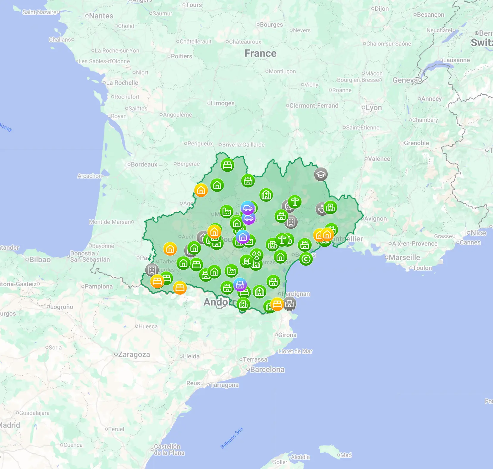
MapUrbex follows a preservation-first approach: verified locations, curated maps, and careful research instead of reckless access.
How can you find abandoned places legally and efficiently?
The most reliable method is to combine satellite maps, Street View, local records, closure news, and final on-site verification from public space. In practice, good research narrows the search, while legal and safety checks remove false leads. Never assume that a neglected building is open to enter or truly abandoned.
Quick summary
- Start with map research, not with a drive-around.
- Use several sources together: satellite view, Street View, local records, and recent reports.
- Treat every site as unverified until you confirm current activity, access limits, and hazards.
- Many good-looking urbex spots are not abandoned; they may be vacant, monitored, or under redevelopment.
- Responsible urbex means no trespassing, no forced entry, and no damage.
- Curated urbex maps save time by filtering weak leads and highlighting verified locations.
Quick facts
- Best starting point: satellite imagery plus recent local information.
- Most common mistake: confusing neglect with true abandonment.
- Fastest workflow: map scan, historical check, status check, legal check, field verification.
- Most useful clues: overgrowth, inactive parking, roof failure, boarded entries, business closure records.
- Non-negotiable rule: respect fences, signs, locks, and private property.
Which sources are best for finding abandoned places?
The best sources are the ones that reveal different parts of the same story. Maps show physical clues, records show ownership or closure history, and curated sources reduce guesswork.
| Source | What it reveals | Main limit | Best use |
|---|---|---|---|
| Satellite maps | Roof damage, overgrowth, empty lots, site scale | Images may be old | First screening |
| Street View | Facade condition, fencing, signage, recent use | Coverage can be outdated or missing | Visual status check |
| Historical maps | Former rail lines, mills, military areas, industrial zones | Not all former sites still exist | Finding forgotten sectors |
| Local news and public records | Closures, redevelopment, auction notices, fire reports | Information can be fragmented | Confirming site history |
| Verified urbex maps | Curated and filtered location data | Coverage depends on region | Saving time and reducing false leads |
How do you use maps and satellite tools for abandoned place research?
Use maps to build a shortlist, not to make final assumptions. Look for repeated signs of disuse across the whole site rather than one dramatic detail.
Useful visual clues include:
- roofs with visible damage or collapse
- vegetation reclaiming parking areas or access roads
- large industrial footprints with no visible activity
- missing cars over multiple image dates
- disconnected service yards, blocked gates, or sealed entrances
Street-level imagery helps you test that first impression. A site that looks empty from above may still have fresh maintenance, security signs, or active loading areas.
If you want a map-specific method, read How to Find Abandoned Places with Google Maps. For a local workflow, see How to Find Abandoned Places Near Me: A Step-by-Step Urbex Method.
How do local records and field clues help you find urbex spots?
Local records turn a guess into a documented lead. They are especially useful for factories, schools, hotels, hospitals, farms, and transport infrastructure.
Helpful sources include:
- business closure announcements
- planning and redevelopment documents
- auction and liquidation notices
- old industrial directories
- local history forums and newspaper archives
Field clues matter too, but they must be read carefully from public space. Boarded windows, faded signage, and invasive vegetation suggest disuse, but they do not prove legal accessibility. Some sites are monitored precisely because they look abandoned.
How do you verify whether a place is really abandoned?
You verify abandonment by checking for recent activity, ownership signals, and physical maintenance. A single clue is never enough.
Use this checklist before you consider a place a serious lead:
- Check whether the site appears in recent reviews, business listings, or event pages.
- Look for vehicles, fresh fencing, new lighting, or maintained paths.
- Search for redevelopment plans, demolition permits, or sale notices.
- Compare image dates across satellite and street-level tools.
- Confirm from public space only; do not cross barriers to investigate.
A building can be vacant, seasonal, partially used, or secured for future work. That is why careful verification matters more than rumor.
What legal and safety checks should you do before visiting?
You should confirm legality and basic safety before any visit. If legal access is not available, the correct choice is to stop at exterior observation or skip the site entirely.
Key checks include:
- property boundaries and access restrictions
- posted warnings and local trespass rules
- structural instability, exposed shafts, or broken floors
- air quality issues such as mold, dust, or possible asbestos
- weather, isolation, and emergency access
For beginners, a better first step is learning process and etiquette before chasing difficult locations. Start with How to Start Urbex: A Beginner's Guide to Urban Exploration.
Why use a curated urbex map instead of searching from scratch?
A curated urbex map saves time because it removes many weak leads early. It also helps you focus on verified locations and responsible planning rather than random internet rumors.
MapUrbex is built for that workflow: verified locations, curated maps, and preservation-first research. If you want a broader view, Browse all urbex maps. If you want to start immediately, Access the free urbex map.
FAQ
Can Google Maps alone find abandoned places?
Google Maps is useful, but it is not enough on its own. Images may be old, and many inactive-looking buildings are still monitored or partly used.
How do I know whether a building is abandoned or just empty?
Look for multiple signals together: closure history, lack of maintenance, no active listings, no current traffic, and no recent operational signs. Even then, legal access is a separate issue.
Should I share exact locations publicly?
Usually, no. Publicly broadcasting exact spots can increase vandalism, theft, and unsafe visits. Responsible urbex communities prioritize preservation.
What is the safest first step for a beginner?
Start with research skills, map reading, and legal awareness. Exterior observation from public areas is safer than rushing toward entry-based exploration.
Are curated urbex maps better than random social media tips?
Yes, in most cases. Curated maps reduce false positives and provide a more structured way to research sites responsibly.
Conclusion
If you want to know how to find abandoned places, the short answer is simple: research broadly, verify carefully, and act responsibly. The strongest method combines maps, records, and public-space observation while respecting law, safety, and preservation.
If a site is unclear, secured, or dangerous, walk away. Good urbex research is selective.
Access the free urbex map
