 MapUrbex
Learn how to install and use a Google Maps-compatible urbex map for better trip planning, smarter routing, and responsible urban exploration.
Google Maps-Compatible Urbex Map: Installation and Use
A Google Maps-compatible urbex map makes trip planning simpler. It combines curated urbex locations with the navigation habits most people already use every day.
For MapUrbex, the point is not just convenience. The real value is better preparation: verified locations, clearer route planning, and a preservation-first approach that never encourages trespassing or forced access.
What is a Google Maps-compatible urbex map?
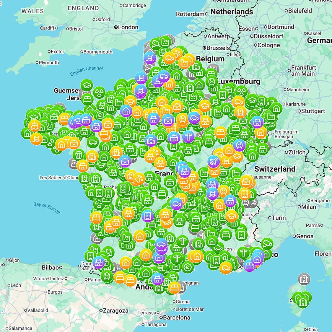
A Google Maps-compatible urbex map is a curated map of urbex locations that can be opened, viewed, or used alongside Google Maps for planning. It helps you compare spots, estimate routes, and organize a trip with familiar map tools. It is made for orientation and research, not for illegal entry, unsafe decisions, or bypassing restrictions.
Quick summary
- It combines curated urbex points with Google Maps route and area context.
- Installation usually means opening a compatible map, saving it, and testing it on your device.
- The urbex map helps with location selection; Google Maps helps with navigation and trip timing.
- Google Maps does not verify legal access, structural safety, or current site conditions.
- A responsible workflow includes permissions, offline prep, and a preservation-first mindset.
- MapUrbex focuses on verified locations and curated maps rather than random unconfirmed pins.
Quick facts
| Topic | Practical answer |
|---|---|
| Main purpose | Plan routes and compare urbex locations inside a familiar map environment |
| Best pairing | Curated urbex data plus Google Maps navigation tools |
| Typical setup time | Usually a few minutes on mobile or desktop |
| What you need | The right Google account, location permission, and a stable connection |
| What it cannot do | Grant access, prove safety, or replace legal checks |
How do you install a Google Maps-compatible urbex map?
Installing a Google Maps-compatible urbex map is usually simple: open the shared map or compatible layer, make sure you are signed in to the right Google account, save the map, and test it before leaving home. The exact buttons vary by device, but the setup logic is consistent.
- Open the map on your phone or computer.
- Sign in to the Google account you actually use in Google Maps.
- Save or add the map so it appears in your map list.
- Allow Google Maps to access your location if prompted.
- Zoom into a known area and confirm that the pins load correctly.
- Save nearby zones offline if you expect weak signal on the road.
Many installation problems are caused by account mismatch, missing permissions, or opening the map in a browser tab instead of the Google Maps app. Testing the map before travel prevents most frustration.
If you want to compare available formats and coverage, Browse all urbex maps.
How do you use an urbex map inside Google Maps efficiently?
The most efficient approach is to use the urbex map for selection and Google Maps for route context. Open a pin, review the area, compare several nearby places, and only then build a realistic route. This saves time and leads to better decisions than chasing isolated coordinates one by one.
A simple workflow works well:
- Start with one region instead of searching too broadly.
- Open each location and remove low-priority or impractical spots.
- Use Google Maps to estimate travel time, parking context, and nearby services.
- Group close locations into a single route.
- Keep a shortlist instead of leaving dozens of tabs open.
For most users, a maintained map is more useful than a huge list of outdated pins. Curated quality beats raw quantity in urbex planning.
If you want broader research methods beyond maps alone, read How to Find Abandoned Places Near You.
What can Google Maps help with, and what can it not do?
Google Maps is very useful for orientation, travel time, road context, and trip organization. It is not a legal check, a safety inspection, or proof that a site is still abandoned. That distinction matters because mapping convenience can create a false sense of certainty.
Google Maps can help you:
- compare road access and travel duration;
- understand the area around a location;
- identify nearby fuel, food, and parking options;
- save offline zones for basic navigation.
Google Maps cannot reliably tell you:
- whether entry is allowed;
- whether a structure is stable;
- whether a place has been renovated, secured, or monitored recently;
- whether current conditions match older imagery.
This is why MapUrbex emphasizes verified locations and responsible urbex. A good map improves planning, but it never replaces judgment.
How should you prepare a visit responsibly?
Responsible preparation means checking legality, daylight, weather, terrain, and personal limits before you travel. In urbex, deciding not to proceed is often the safest and most responsible outcome.
Use this checklist:
- Do not plan trespassing, forced access, or damage.
- Tell someone where you are going and when you expect to return.
- Charge your phone and carry a backup battery.
- Wear proper footwear and bring water and a flashlight.
- Avoid unstable structures and avoid going alone in large sites.
- Leave no trace and never remove objects.
A curated urbex map is a planning tool. It is not permission to enter private property or ignore local law and safety risks.
What setup issues are most common during installation?
The most common issues are usually technical, not geographic. If pins do not appear, the first things to check are the Google account in use, app permissions, and network connection.
Common problems and fixes:
- The map opens only in a mobile browser: reopen it directly in Google Maps if possible.
- You saved the map on one Google account but use another on your phone: switch accounts.
- Pins load slowly or incompletely: test on Wi-Fi and refresh the map.
- The area becomes hard to read in the field: save an offline zone before departure.
- The data seems old: compare with the latest curated version before planning a long trip.
Starting with a simpler setup is often best. Learn the workflow first, then build more detailed trip plans.
FAQ
Can I import an urbex map into Google Maps on iPhone?
Yes, in many cases you can open or save a compatible urbex map on iPhone. The exact method depends on how the map is shared and whether Google Maps opens it directly or through your Google account. Always test the map on the same device you will use on the trip.
Does Google Maps verify abandoned places?
No. Google Maps is a general mapping platform. It does not verify whether a place is truly abandoned, legally accessible, or currently safe. That information must come from curated sources and recent verification.
Should I rely on Street View to judge access?
No. Street View can help you understand roads and surroundings, but it may be outdated or incomplete. It cannot confirm permission, structural condition, or current on-site restrictions.
Is an urbex map enough for safe planning?
No. An urbex map is useful, but safe planning also requires legal awareness, weather checks, suitable equipment, realistic timing, and a willingness to cancel a visit if conditions are wrong.
Conclusion
A Google Maps-compatible urbex map is valuable because it brings curated location data into a navigation system people already understand. Installation is usually quick, but the real benefit comes from disciplined use: better route planning, fewer wasted trips, and a clear focus on legality, safety, and preservation.
Access the free urbex map
