 MapUrbex
A practical guide to the France urbex map: how curated maps work, what they include, how to compare free and paid options, and how to explore abandoned places responsibly.
France Urbex Map: A Practical Guide to Verified Abandoned Places
If you are looking for a reliable France urbex map, the main challenge is not finding abandoned places. The real challenge is finding useful, current, and responsibly presented information.
A good map urbex France tool saves time, reduces dead ends, and helps you compare regions, building types, and travel distance. It also gives more structure than random social posts or outdated coordinate lists.
MapUrbex focuses on curated maps, verified locations, and preservation-first exploration. That matters because an abandoned site is not automatically legal, safe, or accessible.
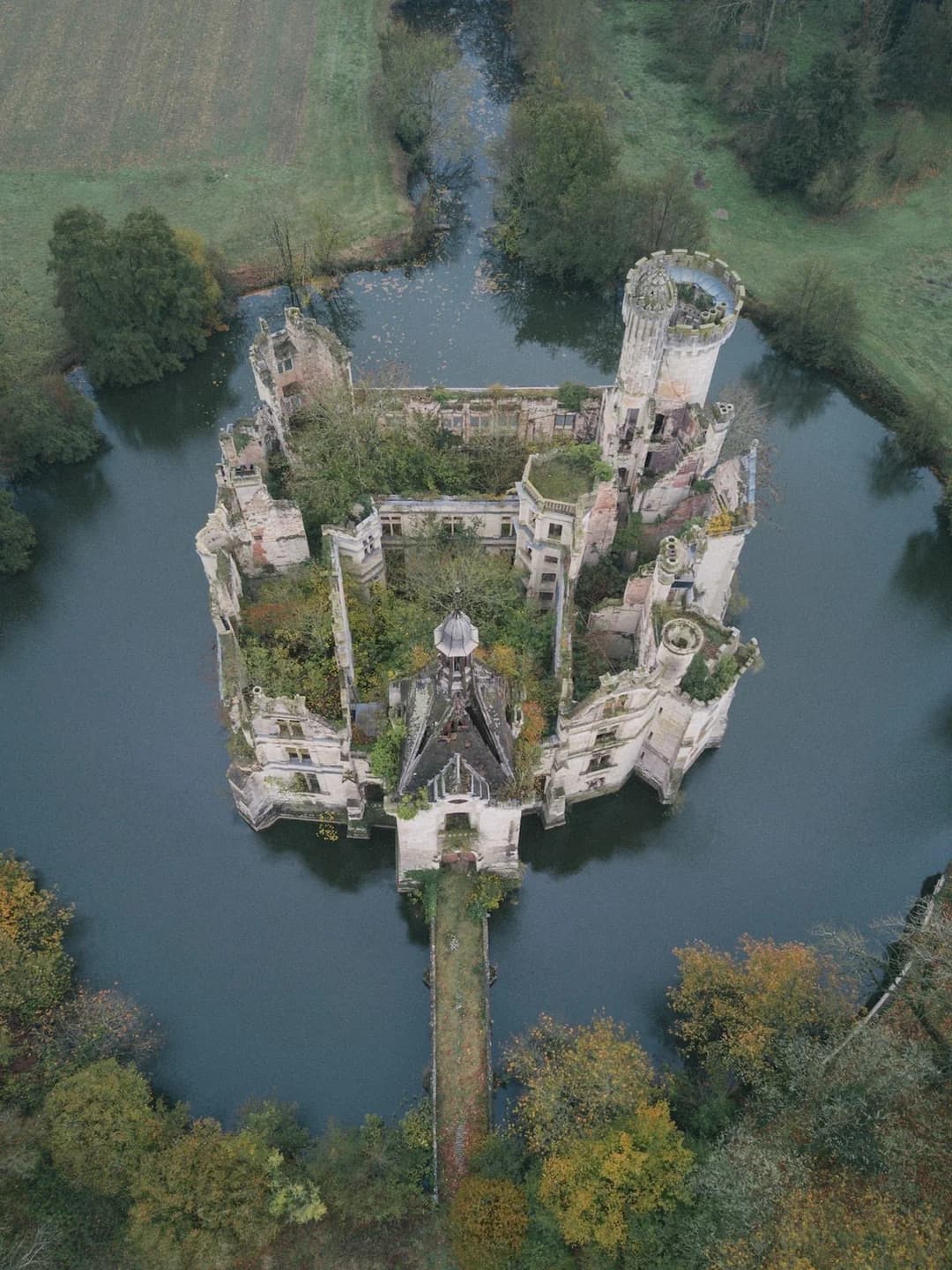
What is the best France urbex map?
The best France urbex map is a curated, frequently updated map that lists verified abandoned places, offers regional filters, and adds clear context about condition, risk, and access limits. It helps you plan better, but it never replaces permission checks, local law, or on-site safety judgment.
If you want to compare formats first, you can Browse all urbex maps or review the broader overview in France Urbex Map 2026: The Interactive Map of 1000+ Abandoned Places in France.
Quick summary
- A France urbex map is most useful when it is curated, searchable, and updated regularly.
- Verified location context matters more than raw coordinates copied from social media.
- The best maps help you filter by region, building type, and trip distance.
- Not every abandoned site in France can be entered legally or safely.
- A free map is a good starting point, but curated maps often save time and failed trips.
- Responsible urbex means no forced entry, no vandalism, and no sharing that harms preservation.
Quick facts
| Criterion | Why it matters | What to check |
|---|---|---|
| Geographic coverage | France is large and regionally varied | National map or only a few regions |
| Verification level | Outdated spots waste time | Signs of manual review or updated records |
| Filters | Planning is easier with structure | Region, category, access context, popularity |
| Safety context | Some sites are unstable or exposed | Notes on condition, terrain, and known hazards |
| Preservation approach | Good maps reduce harmful tourism | Responsible framing, no reckless promotion |
| Free access | Useful for testing the platform | Demo map, sample entries, or starter version |
Why use a France urbex map instead of random coordinates?
A France urbex map is better than random coordinates because it adds context. Coordinates alone do not tell you whether a place is demolished, converted, fenced, occupied, or too dangerous to approach.
That is why many explorers start with a structured resource such as Access the free urbex map. It gives a more usable overview than scattered screenshots, reposted TikToks, or old forum threads.
A curated map is helpful for three practical reasons:
- It reduces duplicate research.
- It makes route planning faster.
- It helps you compare several spots before committing to a trip.
This is especially useful if you want a map of abandoned places in France for a weekend route, a regional road trip, or photography planning.
How does a curated map urbex France reduce wasted trips?
A curated map urbex France system reduces wasted trips by removing low-value leads. Instead of manually checking dozens of unverified posts, you work from a database that is already organized.
In practice, that means you can:
- shortlist places by region,
- compare travel time,
- avoid sites already known to be inaccessible,
- focus on building types you actually want to visit,
- build a realistic day plan.
This matters in France because abandoned places are spread across rural zones, former industrial belts, military areas, and isolated estates. Without a map, many explorers spend more time searching than exploring.
If you want a deeper method beyond the map itself, read How to Find Abandoned Places in France.
Which abandoned places in France appear on a good urbex map?
A good urbex map for France usually includes a mix of architectural, industrial, residential, religious, and institutional sites. The wider the typology, the more useful the map becomes for route planning.
Typical categories include:
- abandoned châteaux and manor houses,
- factories and warehouses,
- hospitals and sanatoria,
- schools and administrative buildings,
- military sites and bunkers,
- villas, hotels, and holiday complexes,
- farms, mills, and rural estates,
- chapels, convents, and other religious places.
The best maps do not treat every place the same way. A decaying château, a sealed hospital, and a former factory do not present the same preservation issues or risk profile.
Is every urbex spot in France legal or safe to visit?
No. An abandoned place is not automatically legal to enter, and it is never automatically safe.
In France, a site may still be privately owned, under surveillance, partially occupied, structurally unstable, or environmentally hazardous. Even when a place looks open online, the situation may have changed.
Responsible urbex starts with a simple rule: no trespassing, no forced entry, no damage, and no behavior that increases risk for other people or for the site itself.
Before any visit, check:
- whether the site is on private land,
- whether entry requires permission,
- whether the building appears sealed or protected,
- whether weather, lighting, or terrain create added danger,
- whether your plan includes a safe exit and communication.
MapUrbex is preservation-first. A map should help people explore more carefully, not more recklessly.
How should you choose the best map of abandoned places in France?
You should choose the best map of abandoned places in France by comparing quality signals, not hype. A large number of pins is not enough if the information is vague or outdated.
Use this checklist:
- Does the map cover the regions you care about?
- Does it explain what kind of place each listing is?
- Does it look curated rather than scraped?
- Does it provide enough detail to decide whether a trip is worth planning?
- Does it present urbex responsibly?
- Is there a free option to test usability first?
A trustworthy urbex map France product should feel like a planning tool, not a bait list.
Where should you start if you want a free urbex map France option?
The smartest starting point is a free version that lets you test coverage, usability, and the overall curation standard before you commit more time.
You can start with Access the free urbex map. If you want extra context on the free version, see Free Urbex Map France 2025.
A free map is useful for:
- checking how the interface works,
- seeing whether your region is represented,
- understanding the platform's category system,
- deciding if the curation level matches your needs.
FAQ
What does a France urbex map usually include?
A France urbex map usually includes categorized abandoned places, regional filters, map pins, and basic planning context. Better versions also include verification notes, route relevance, and responsible use guidance.
Can I rely on social media coordinates instead of a map?
You can, but it is less reliable. Social posts are often reposted, delayed, exaggerated, or stripped of context. A curated map is usually better for planning because it organizes information in a consistent way.
Is a free urbex map France version enough for beginners?
For many beginners, yes. A free map is often enough to understand the platform, explore a few regions, and learn what kind of locations interest you most. More advanced users may want broader coverage or deeper curation.
What should I bring for a first urbex trip in France?
Bring legal awareness, charged communication, appropriate footwear, light, water, and a conservative plan. Do not go alone if conditions are uncertain, and never enter a site that requires forced access or looks structurally unsafe.
Does a verified map guarantee entry?
No. Verification does not mean permanent accessibility or legal permission. It means the listing is more structured and dependable as a planning reference than random online noise.
Conclusion
A strong France urbex map is not just a collection of coordinates. It is a research and planning tool that helps you find relevant abandoned places in France, compare options, and avoid unnecessary travel.
The best maps combine verified locations, practical filtering, and a clear preservation-first approach. That is the difference between useful urbex planning and random internet scavenging.
If you want to continue exploring the broader catalog, you can Browse all urbex maps.
Start with the map
If you want a simple entry point, begin with the free version and evaluate the coverage for yourself.
Access the free urbex map
