 MapUrbex
Use a verified Normandy urbex map to find abandoned places more responsibly. Compare free and curated options, safety rules, and what to check before you go.
Normandy Urbex Map: Find Abandoned Places in Normandy Responsibly
Normandy attracts explorers because the region combines industrial remains, rural buildings, military traces, and forgotten religious sites. The real challenge is not finding rumors. The real challenge is finding reliable and current information.
A good Normandy urbex map helps you separate useful leads from outdated posts. That matters for safety, legality, and respect for places that are already fragile.
MapUrbex focuses on verified locations, responsible urbex, and preservation-first research. If you want a practical starting point, this guide explains how to use a curated map urbex Normandy resource without taking unnecessary risks.
What is the best Normandy urbex map?
The best Normandy urbex map is a curated map that prioritizes verified locations, current access context, and responsible exploration rules. For most users, that means using MapUrbex as a practical reference: it helps identify abandoned places in Normandy more efficiently, compare spots by area, and avoid relying on random lists that may be outdated, restricted, or unsafe.
Quick summary
- A reliable Normandy urbex map saves time and reduces bad information.
- Verified locations are more useful than long unfiltered spot lists.
- Responsible planning starts with ownership checks, access rules, and daylight visits.
- Normandy offers varied abandoned places, but not every site is legal or safe to enter.
- The free option is a good starting point before browsing the wider MapUrbex catalog.
- Publicly sharing exact entry methods can damage locations and should be avoided.
Quick facts
| Item | Details |
|---|---|
| Region | Normandy, France |
| Main use | Finding abandoned places in Normandy with better context |
| Best for | Trip planning, route comparison, beginner filtering |
| Map approach | Curated, verification-focused, preservation-first |
| Free option | Available through the MapUrbex free map |
| Safety rule | Never force entry, trespass, or ignore local restrictions |
Why use a Normandy urbex map instead of random spot lists?
A Normandy urbex map is better than random spot lists because maps add context. A name on a forum does not tell you whether a place is still standing, frequently visited, fenced, legally accessible, or too fragile to approach.
This is where curated research matters. Verified locations help reduce wasted travel and help you prepare for real conditions instead of internet myths. That is especially useful in a large region where travel times between departments can be significant.
If you want a broader starting point before narrowing down Normandy, Browse all urbex maps is the fastest overview. If you want an entry-level option, Access the free urbex map is the simplest first step.
What kinds of abandoned places can you expect in Normandy?
Normandy usually offers a wide variety of abandoned places, from industrial remains to rural properties and disused religious buildings. The exact mix depends on the department and local history.
Common categories may include:
- old factories and workshops
- farm buildings and manor outbuildings
- former schools or public buildings
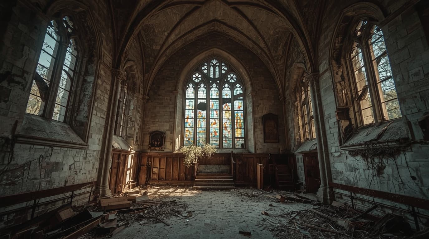
- abandoned churches or chapels
- coastal or military-related structures
Not every abandoned place is an urbex site you should visit. Some locations are structurally unstable. Others are on private land or heavily monitored. A map is most useful when it helps you filter, not when it simply reveals more pins.
Responsible urbex starts with permission, legal access, and preservation. If access is unclear, do not enter.
How should you choose urbex spots in Normandy responsibly?
You should choose urbex spots in Normandy by checking legality first, safety second, and interest third. That order prevents most beginner mistakes.
Use this simple decision process:
- Check whether the site is on private property or has explicit restrictions.
- Prefer locations with clear access conditions or public visibility.
- Avoid places that require climbing, forced entry, or crossing barriers.
- Visit in daylight and never go alone if the condition is uncertain.
- Leave everything exactly as found.
This approach fits the MapUrbex preservation-first model. The goal is not to maximize entry attempts. The goal is to reduce harm, reduce risk, and make each trip more informed.
Which Normandy areas are most useful for beginners?
For beginners, the most practical Normandy areas are usually the ones with easier road access, shorter travel chains, and clearer urban context. In practice, that often means starting around larger cities rather than isolated rural sites.
Rouen and Caen are useful examples because they combine transport access with a wider mix of documented locations. For a more focused local selection, see Normandy Urbex Map: 10 Abandoned Places with Legal Access in Rouen and Caen.
If you want a region-wide introduction first, Normandy Urbex Map: Explore Abandoned Places in Normandy Responsibly gives a broader overview.
How does the free Normandy urbex map compare with a curated map collection?
The free Normandy urbex map is best seen as a starting layer, while a curated map collection is better for ongoing trip planning. The difference is not only quantity. It is mainly about organization and confidence.
A free resource can help you understand the format, identify broad search zones, and decide whether curated urbex mapping fits your needs. For more detail on the free option, read Free Urbex Map: Download the Updated PDF and Google Maps Version.
The full MapUrbex ecosystem becomes more useful when you want to compare regions, build shortlists, and avoid wasting time on dead leads.
What should you check before visiting abandoned places in Normandy?
Before visiting abandoned places in Normandy, check five things: ownership, access rules, current condition, weather, and exit options. These are the minimum planning factors.
A simple pre-visit checklist:
- confirm the route and parking situation
- do not rely on a single old photo set
- avoid wind, heavy rain, and late-evening first visits
- bring basic lighting, a charged phone, and sturdy footwear
- tell someone where you are going
- leave immediately if the site feels active, unstable, or restricted
These checks matter more than the number of places on a map. Good urbex planning is mostly about eliminating bad choices early.
Frequently asked questions
Is urbex legal in Normandy?
Urbex is not automatically legal in Normandy. Abandonment does not cancel property rights. If a location is private, restricted, fenced, or clearly closed, you should not enter without permission.
Can beginners use a Normandy urbex map safely?
Beginners can use a Normandy urbex map more safely when they treat it as a planning tool, not as a guarantee of access. Start with low-risk locations, daylight visits, and places with clearer legal status.
Are all abandoned places on a map accessible?
No. A map can indicate a place of interest, but access conditions change. Sites can be closed, demolished, occupied, monitored, or too dangerous to approach.
Should I share exact urbex locations publicly?
In most cases, no. Publicly broadcasting precise locations or entry methods increases damage, theft, and site closures. Preservation is more important than social media reach.
How often should I verify a spot before going?
You should verify a spot as close to the visit date as possible. Recent reports, current restrictions, and local conditions can change quickly.
Conclusion
A useful Normandy urbex map does not simply show abandoned places in Normandy. It helps you decide which leads are worth your time, which areas fit your experience level, and which sites should be left alone.
That is the real value of a curated MapUrbex approach: verified locations, clearer planning, and responsible exploration that protects both people and places.
Start with the free map
Access the free urbex map
