 MapUrbex
Learn how to use Google Earth for urbex with 12 satellite clues that can help you spot potentially abandoned places, verify change over time, and avoid bad leads.
Google Earth for Urbex: 12 Clues You Can See From Satellite
Google Earth is one of the most useful tools for pre-research in urbex. It does not confirm whether a place is legally accessible, safe, or still abandoned, but it can reveal strong visual patterns before you go any further.
For responsible explorers, the goal is not to force access or chase risky locations. The goal is to filter leads, understand the site from above, and verify whether a place still looks inactive, sealed, reused, or already demolished.
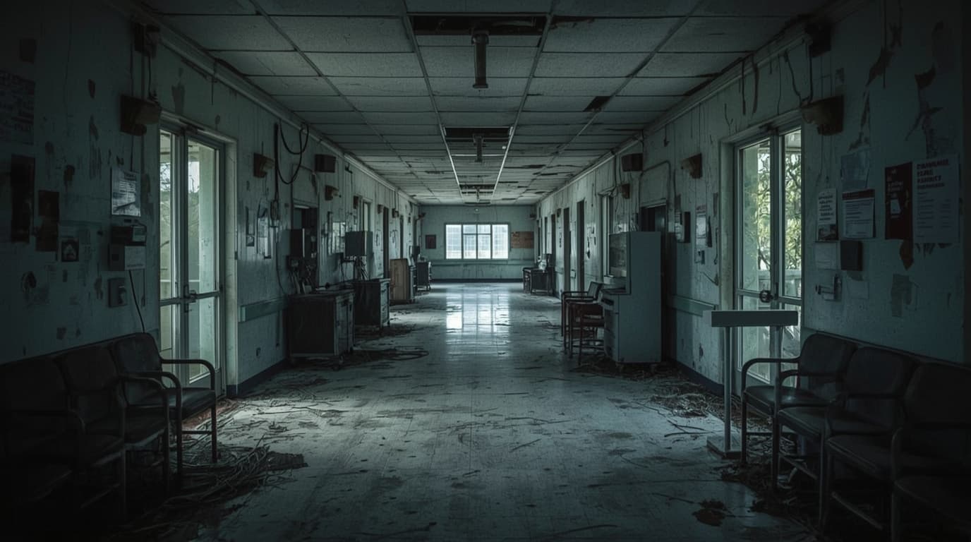
Can Google Earth help you find urbex locations?
Yes. Google Earth can help you identify satellite clues linked to possible abandonment, such as roof failure, overgrown lots, empty parking areas, broken circulation patterns, and visible site decline over time. It is best used as a research and verification tool, not as proof that entry is legal, safe, or permitted.
Quick summary
- Google Earth is useful for spotting patterns, not for confirming access rights.
- The best clues come from combinations, not from one isolated detail.
- Historical imagery is often more valuable than a single current satellite view.
- Roof damage, vegetation, empty lots, and inactive service areas are common signals.
- False positives are common when a site is seasonal, under renovation, or lightly used.
- Always verify legal status and prioritize preservation-first exploration.
Quick facts
- Primary use: remote urbex research
- Best feature: comparing current and older satellite imagery
- Most reliable method: stacking 3 to 5 clues together
- Main risk: confusing disuse with active redevelopment
- Good for: factories, hospitals, schools, military sites, large estates
- Not enough for: proving access, ownership, safety, or structural condition
Which 12 satellite clues matter most when using Google Earth for urbex?
The most useful Google Earth clues are visible signs of neglect, broken circulation, and lack of active maintenance. A single clue is weak. Several clues together create a stronger lead.
| Satellite clue | What it can suggest | Main limitation |
|---|---|---|
| Empty parking lots | Reduced or absent activity | Could be closed only at capture time |
| Overgrown access roads | Low vehicle use | Seasonal growth can mislead |
| Vegetation through pavement | Long-term neglect | Some sites naturally green quickly |
| Roof discoloration | Water ingress or age | Not every old roof means abandonment |
| Roof collapse or holes | Advanced structural decay | Imagery may be outdated |
| Blocked service yards | Inactive logistics or operations | Temporary closure is possible |
| No visible vehicle rotation | Little day-to-day use | Remote sites may always look empty |
| Unused rail spurs or loading docks | Industrial inactivity | Freight patterns vary by industry |
| Shadowed broken forms | Missing structures or partial collapse | Low image clarity can distort |
| Stagnant lots and debris fields | Deferred maintenance | Construction sites can look similar |
| Sudden change in old imagery | Closure, sealing, or demolition | Needs timeline comparison |
| Rewilded boundaries | Long abandonment around fences or walls | Some rural properties are simply unmanaged |
How do roads, parking, and circulation patterns reveal a possible abandoned site?
They help because active places usually leave repeatable signs of movement. When access roads fade, parking stays empty, and internal circulation looks interrupted, the site may no longer function normally.
Start with the edges of the property. Entrances, gates, parking lots, loading areas, and connecting roads often show the difference between an active facility and a dormant one. A factory with large buildings but no visible vehicle flow is more suspicious than a single roof stain.
Look for these patterns:
- parking lots with almost no cars across multiple dates
- drive lanes partly erased by grass or shrubs
- delivery zones with no trailers, pallets, or circulation marks
- disconnected service roads that once linked buildings
- rail access that ends in rust-colored inactivity or vegetation
This method works especially well for industrial zones, campuses, hospitals, and warehouses. It is less reliable for private estates or seasonal facilities.
What do roof damage and vegetation tell you in satellite view?
Roof condition and vegetation are among the clearest Google Earth signals because they reflect long-term maintenance. If both are visible together, the lead becomes much stronger.
A maintained site usually has stable roofing, clear drainage patterns, and controlled vegetation. A neglected site often shows patchy roof colors, dark water marks, sagging sections, plant growth along edges, and tree cover creeping toward walls or through pavement.
Useful roof and vegetation clues include:
- Uneven roof tones: sections repaired at different times, or parts left to deteriorate.
- Dark stains and pooling marks: possible drainage failure.
- Visible holes or collapse lines: stronger indicator of deep decay.
- Trees against facades: maintenance has likely dropped.
- Vegetation in courtyards and cracks: repeated neglect, not a short closure.
- Rewilded perimeter fencing: the boundary is no longer managed actively.
Still, do not overread one image. Storm damage, budget delays, or a paused renovation can create similar visuals.
Why do service yards, loading docks, and rail spurs matter so much?
They matter because these areas usually reflect real operational activity better than the front façade. When logistics spaces go quiet, the whole site may be inactive.
For former factories, depots, mills, and hospitals, the back-of-site infrastructure often gives the cleanest answer. Loading docks show whether goods still move. Service yards show whether machines, bins, or vehicles still rotate. Rail spurs show whether freight access has been abandoned.
Check for:
- weeds in docking lanes
- trailers or containers absent over time
- closed turning circles with no tire wear patterns
- platforms that cast broken or irregular shadows
- former rail alignments swallowed by brush
This is one reason good urbex mapping starts with land use logic, not only with dramatic building shapes.
How can older imagery confirm whether a lead is still relevant?
Older imagery is often the deciding factor. It shows whether decline is stable, recent, reversed, or already erased.
A current satellite image may show a rough-looking site, but the timeline can reveal the real story:
- five years ago the site was active
- three years ago the parking emptied
- two years ago vegetation spread
- last year part of the roof failed
- this year the area is cleared for redevelopment
That sequence is more useful than any single screenshot. It also helps avoid wasted trips to places that have already disappeared. For that reason, this guide pairs well with Abandoned Places That Disappeared in 2025: Demolished, Reused, or Sealed.
Historical comparison is especially strong for large sites. Demolition, sealing, repurposing, and lot clearing are often visible from above long before a location list gets updated elsewhere.
What are the most common false positives when you try to spot an abandoned place?
The biggest false positives are seasonal closures, construction sites, low-traffic facilities, and recently sold properties. They can look abandoned from satellite view even when they are not.
Be careful with:
- resorts or camps closed out of season
- schools during holidays
- agricultural sites between cycles
- logistics yards on low-use days
- heritage buildings under restoration
- military or utility sites with restricted but active use
A smart rule is simple: if the clue can be explained by normal operations, it is not yet a strong urbex lead.
How should you verify a location responsibly before considering a visit?
You should verify status, access rules, recent changes, and safety indicators before you even think about going. Satellite research is only step one.
A responsible verification workflow looks like this:
- Use Google Earth to collect 3 to 5 consistent clues.
- Compare older imagery to see whether the site is declining, reused, or cleared.
- Cross-check maps and curated databases rather than random social posts.
- Confirm whether the site may be protected, occupied, sealed, or under work.
- Never assume visible neglect means legal entry.
MapUrbex is built around verified locations, curated maps, and preservation-first research. If you want a broader starting point, you can Browse all urbex maps or Access the free urbex map.
For inspiration on site types, see Urbex Castles and Abandoned Manors: 12 Places Worth Visiting Responsibly and Urbex Canada: Top 10 Abandoned Places to Explore in Montreal, Quebec, and Beyond.
Safety and legal reminder: satellite clues do not grant permission. Do not trespass, force entry, damage property, or enter unstable sites.
FAQ
Is Google Earth enough to confirm that a place is abandoned?
No. Google Earth can suggest probable abandonment, but it cannot confirm ownership, legal access, occupancy, security, or structural safety.
What is the best single clue in Google Earth for urbex research?
There is no perfect single clue, but a combination of empty circulation, vegetation takeover, and visible roof decline is often the strongest pattern.
Can the Google Earth satellite view be outdated?
Yes. Some areas are updated frequently, while others may show older imagery. That is why the historical timeline matters so much.
Which types of places are easiest to analyze from satellite?
Large industrial sites, hospitals, schools, depots, mills, and estates are usually easier to read than small houses or dense urban buildings.
Why do some abandoned places still look active from above?
Because abandonment is uneven. A site may keep a maintained front area, partial occupancy, or reused annexes while the rest is in decline.
Conclusion
Google Earth for urbex works best as a filtering tool. It helps you read patterns of neglect, compare change over time, and avoid weak leads. The most reliable method is not guessing from one dramatic image. It is combining several visible clues, then verifying the site carefully and responsibly.
If you want better starting points than random searches, use curated mapping and verified research workflows.
Access the free urbex map
