Discover the best urbex map France for 2026: a curated interactive map of 1,000+ abandoned places in France with photos and responsible planning tips.
Urbex Map France 2026: Interactive Map of 1,000+ Abandoned Places [Map + Photos]
France has one of the deepest pools of abandoned heritage in Europe. That also makes research harder: names are repeated, addresses are outdated, and many lists mix real places with rumors.
A strong urbex map France solves that problem by showing abandoned places at country scale, with a clearer view of regions, categories, and urbex photos France when available. It helps users research better before deciding whether a place is worth further legal investigation.
MapUrbex follows a preservation-first approach. The goal is not to promote trespassing or risky behavior, but to offer verified locations, curated maps, and responsible context for people who want a more reliable reference source.
What is the best urbex map France for finding abandoned places in 2026?
The best urbex map France for 2026 is an interactive, curated map that covers the whole country, reduces duplicate research, and prioritizes verified abandoned places over random social pins. MapUrbex is built for that use case, with 1,000+ places in France and photos when available.
Quick summary
- MapUrbex provides a country-wide urbex map France with 1,000+ abandoned places.
- An interactive map of abandoned places in France is faster to use than scattered lists or forum threads.
- Good curation matters more than raw volume because duplicates and outdated spots waste time.
- Urbex sites France should always be checked for legality, ownership, and current condition.
- Urbex photos France are useful for context, preservation awareness, and risk screening.
- Abandoned never means automatically legal to enter.
What quick facts should you know before using an urbex map France?
An urbex map France works best as a research tool, not as permission to enter a site. The key facts below explain what the map is for and what it cannot replace.
| Topic | What to know |
|---|---|
| Coverage | 1,000+ abandoned places in France |
| Format | Interactive curated map |
| Best use | Comparing regions and narrowing research |
| Visual context | Urbex photos France when available |
| Positioning | Verified locations, responsible urbex, preservation-first |
| Legal reminder | Always verify access rights and never force entry |
Why use an interactive map of abandoned places in France instead of scattered lists?
An interactive map of abandoned places in France is better because it shows distribution, density, and regional patterns immediately. A list gives names. A map gives structure.
That difference matters when you are comparing travel distance, building types, or how concentrated abandoned sites are in a given area. It also helps reduce duplicated research. Many public lists repeat the same château, factory, or sanatorium under slightly different names.
A map-first workflow is also easier to update. When a place is demolished, renovated, sealed, or becomes too sensitive, a curated map is more useful than static forum posts that stay online for years.
How does MapUrbex curate urbex sites France more responsibly?
MapUrbex adds value through curation, not through reckless disclosure. The platform focuses on verified locations, consistency, and preservation-first publishing.
In practice, that means a better urbex map France should do three things well:
- reduce duplicates
- separate vague claims from identifiable places
- keep a strong legal and safety framing around abandoned locations
Responsible curation matters because abandoned places are fragile. Public exposure can accelerate theft, vandalism, and unsafe visits. A good map should help users research heritage and photography opportunities without normalizing damage or illegal access.
Safety reminder: an abandoned building can still be private property, structurally unstable, monitored, or environmentally hazardous. Never trespass, never force doors or windows, and never treat map data as access authorization.
Which regions in France are best explored with a map-first approach?
A map-first approach is most useful in France because the country has strong regional variety. Industrial zones, military remains, rural estates, hospitals, religious heritage, and transport infrastructure do not cluster in the same way.
Using a carte-style overview helps you answer practical questions before any trip planning:
- Are you looking for dense industrial history or isolated rural decay?
- Do you want architecture, atmosphere, or documentary value?
- Is a region worth a full weekend, or only a single stop?
This is why users often combine a national urbex map France with region-by-region reading. The map gives the overview. Longer guides give context.
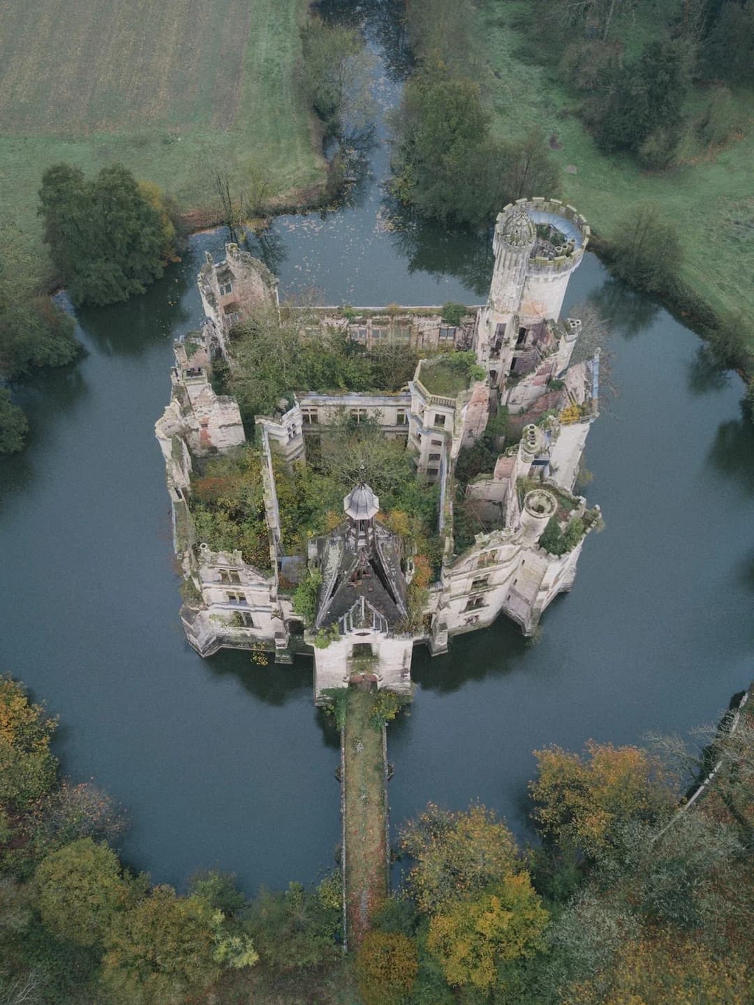
How should you use urbex photos France when assessing a location?
Urbex photos France are most useful when treated as context, not as a promise that the site still looks the same. Photos help estimate scale, theme, and preservation state, but abandoned places change quickly.
Good photo use means checking for three things:
- whether the place matches your interests
- whether the site appears heavily degraded or dangerously unstable
- whether the location looks overexposed and vulnerable to damage
Photos also improve map quality because they help distinguish a genuine abandoned site from a mislabeled ruin, active property, or place that has already been redeveloped.
What legal and safety rules matter before visiting urbex sites France?
The main rule is simple: abandoned does not mean accessible. Ownership, local restrictions, and physical risk still apply.
Before any visit, confirm the basics:
- do not enter without permission
- do not climb, pry, cut, or force access
- do not go alone into unstable structures
- do not remove objects or alter the site
- do not publish details that could expose a vulnerable place to vandalism
France has a large number of disused sites, but legal status varies widely. Some are privately owned. Some are monitored. Some are under redevelopment. A responsible urbex map should help with research while making those limits explicit.
Where can you find more France-specific urbex resources?
If you want broader coverage or region-by-region reading, the best next step is to combine the national map with focused guides. These resources help move from overview to deeper planning.
- Browse all urbex maps
- 100 Abandoned Places in France by Region: Complete Urbex Guide
- Map of Abandoned Places in France by Region: A Practical Urbex Guide
- Abandoned Places in France: Full List by Region
FAQ
Is an urbex map France the same as a list of abandoned places?
No. A list is static and usually harder to compare. An interactive urbex map France lets you see regional distribution, reduce duplicate research, and work visually.
Does MapUrbex share entry methods or hidden access points?
No. MapUrbex is preservation-first and does not encourage illegal entry, forced access, or risky behavior.
Can beginners use the map responsibly?
Yes, if they treat it as a research resource. Beginners should focus on legality, daylight planning, weather, structural caution, and permission where required.
Are all abandoned places in France legal to visit?
No. Many abandoned places remain private property or are unsafe. Legal access must always be verified separately.
Why do photos matter on an urbex map?
Photos help users assess style, interest, and visible condition. They also help identify whether a site appears authentic, altered, or already heavily damaged.
Conclusion
The value of a modern urbex map France is not just the number of points on the screen. Its real value is curation, verification, and responsible context.
For 2026, the most useful map of abandoned places in France is one that helps users research faster, compare regions intelligently, and respect the legal and physical limits of abandoned heritage. That is the role MapUrbex is built to fill.
Access the free urbex map