 MapUrbex
A practical guide to finding abandoned train stations, tracing old railway lines, reading historic rail maps, and checking access responsibly with MapUrbex.
How to Find Abandoned Train Stations and Old Railway Lines
Abandoned train stations often survive long after the railway itself has faded from modern maps. In many regions, the station building, platform edge, embankment, or track bed remains visible if you know where to look.
The most reliable method is not random searching. It is a layered process that combines old railway maps, current satellite imagery, local history sources, and curated location databases.
If your goal is to find a real site without wasting time, use sources that confirm both the historical route and the current on-the-ground condition.
How can you find abandoned train stations and old railway lines?
You can find abandoned train stations by cross-checking historic railway maps with modern satellite imagery, then verifying the route with local archives, rail history communities, and curated urbex maps. The key is to confirm three things: the line existed, the station location is precise, and the site still shows visible remains or a reused structure today.
That approach is faster and more accurate than searching by keywords alone.
Quick summary
- Start with old railway maps to identify former lines, branch junctions, and station names.
- Compare those maps with satellite views to spot track beds, platforms, bridges, and linear clearings.
- Use local archives and rail enthusiast records to confirm closures, renamings, and demolitions.
- Prioritize locations that still show visible structures, not just historical references.
- Always check legality, ownership, and active rail risk before any visit.
- Curated tools such as Browse all urbex maps can reduce false leads.
Quick facts
| Topic | Key point |
|---|---|
| Best starting point | Historic railway maps and timetables |
| Best modern check | Satellite imagery and street-level context where available |
| Most common remains | Station houses, platforms, embankments, bridges, cuttings |
| Biggest mistake | Assuming a mapped station still exists physically |
| Legal issue | Many former stations are private property or sealed sites |
| Safer workflow | Research first, verify second, visit only where lawful |
Which sources are most useful for tracing old railway lines?
The best sources are old railway maps, historic timetables, cadastral plans, satellite imagery, local archives, and specialized mapping platforms. No single source is enough on its own because old stations were often renamed, demolished, converted, or absorbed into new infrastructure.
| Source type | What it helps you confirm | Limits |
|---|---|---|
| Historic railway maps | Former line alignment and station names | May be outdated or schematic |
| Old timetables | Service dates and route hierarchy | Usually not precise enough for field navigation |
| Cadastral or land maps | Plot boundaries and station footprint | Coverage varies by country |
| Satellite imagery | Surviving track beds, bridges, buildings | Dense vegetation can hide traces |
| Local archives and newspapers | Closure dates, accidents, reuse, demolition | Search quality depends on indexing |
| Curated urbex maps | Practical discovery and current relevance | Should still be checked against local rules |
A simple rule works well: use historical sources to know where to search, and current sources to know what still remains.
How do old railway maps help you locate disused railway tracks?
Old railway maps help because railway corridors leave long, coherent spatial signatures. Even when rails are gone, the corridor often survives as a straight tree line, raised embankment, cutting, road alignment, path, or bridge approach.
Look for these map details first:
- station names and spelling variants
- branch line junctions
- mileage points or route numbers
- river crossings and tunnels
- industrial sidings and freight yards
- isolated settlements that once depended on rail service
Then compare them to a current map. If the historic route crosses a river at a narrow point and a bridge abutment still appears today, the alignment is probably correct.
What visible clues reveal a former station or railway corridor?
Former stations usually leave a cluster of clues rather than one obvious marker. The strongest indicator is a combination of rail geometry and a surviving building near a former crossing or platform edge.
Common clues include:
- long straight embankments
- unusually wide strips through forest or farmland
- platform outlines
- stone retaining walls
- bridge piers with no current track
- station houses converted into homes, cafés, or storage
- road names referring to the station or railway
- freight sheds, loading docks, or water towers
In urban areas, disused railway tracks may survive only as property lines, alley shapes, warehouse backs, or linear parking lots.
How can you verify whether a station still exists today?
You can verify a station by checking recent imagery, local municipal records, rail history photos, and reports from recent visitors. This is important because many abandoned train stations have disappeared through demolition, redevelopment, or sealing.
A fast verification checklist is:
- Find the historic station name.
- Match it to the modern municipality or district.
- Inspect current satellite imagery.
- Search for recent photos or heritage references.
- Check whether the site is reused, fenced, or inaccessible.
For broader context on vanished sites, see Abandoned Places That Disappeared in 2025: Demolished, Reused, or Sealed.
How can MapUrbex reduce guesswork when searching for abandoned train stations?
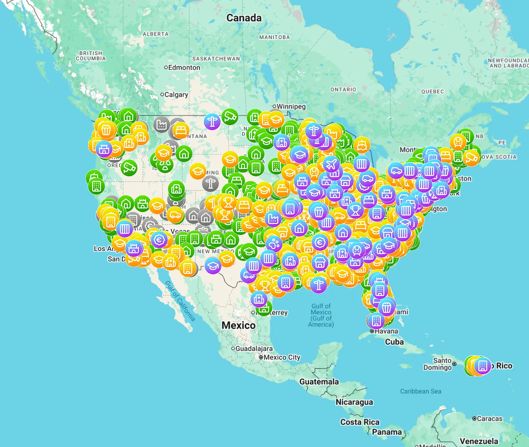
MapUrbex reduces guesswork by organizing curated urbex locations in a map-first workflow. Instead of starting from a vague rumor, you start from a structured location search and then verify the legal and practical context.
That is especially useful for railway exploration because former stations are often scattered, renamed, or hidden inside larger industrial zones.
If you want a broader starting point, Browse all urbex maps. If you want a no-cost entry point first, use the free map below.
What legal and safety checks should you make before visiting disused railway sites?
You should check ownership, access status, structural stability, and proximity to active tracks before visiting. Many disused railway sites are private property, protected heritage, or dangerous ruins. Old bridges, tunnels, roofs, and platforms can fail without warning.
Responsible urbex means no forced entry, no trespassing, no vandalism, and no interference with active rail infrastructure. Preservation comes first.
Pay special attention to these risks:
- active rail lines beside abandoned sidings
- unstable floors in station buildings
- hidden shafts, pits, and service voids
- asbestos, broken glass, and sharp metal
- sealed or monitored properties
- remote corridors with poor phone coverage
If a site is clearly occupied, fenced, or prohibited, do not enter.
What search strategy works best for global railway research?
The best global strategy is to combine universal methods with local terminology. Search the same place using different words: station, halt, depot, branch line, disused railway, closed line, and former railway.
This matters because countries describe railway history differently. One archive may use "closed line," while another uses "abandoned right-of-way" or a former company name.
A practical workflow is:
- start with the line, not the building
- identify all station names on that line
- verify which ones still show structures
- prioritize reachable, lawful, documented sites
- save confirmed places in one map-based system
For more curated inspiration beyond railways, see Urbex Canada: Top 10 Abandoned Places to Explore in Montreal, Quebec, and Beyond and Urbex Castles and Abandoned Manors: 12 Places Worth Visiting Responsibly.
FAQ
What is the fastest way to find an abandoned train station?
The fastest way is to begin with a historic rail map, identify station names, and immediately compare them with current satellite imagery. This removes many false leads before you research access or visit plans.
Are old railway maps enough on their own?
No. Old railway maps tell you where a line once existed, but they do not prove that a station building or platform still survives today.
What remains of disused railway tracks when the rails are gone?
The most common remains are embankments, cuttings, bridge abutments, platform edges, freight structures, and linear clearings through vegetation.
Can a former station still exist even if the line is gone?
Yes. Many station buildings outlast the railway and are later reused as homes, shops, municipal buildings, or storage spaces.
Is it legal to visit abandoned train stations?
Sometimes, but not automatically. Legality depends on ownership, local law, active rail restrictions, and whether the site is openly accessible. Never assume an abandoned appearance means lawful entry.
Conclusion
Finding abandoned train stations is mainly a research problem, not a luck problem. The best results come from combining old railway lines, modern imagery, current verification, and a preservation-first mindset.
If you want to save time, use curated mapping tools and treat every site as a place to document responsibly, not to enter at any cost.
Access the free urbex map
