 MapUrbex
A practical guide to using data analysis, urbex mapping, and verified information to identify abandoned places more efficiently and more responsibly.
Urbex and Big Data: How Data Can Help Find Secret Places
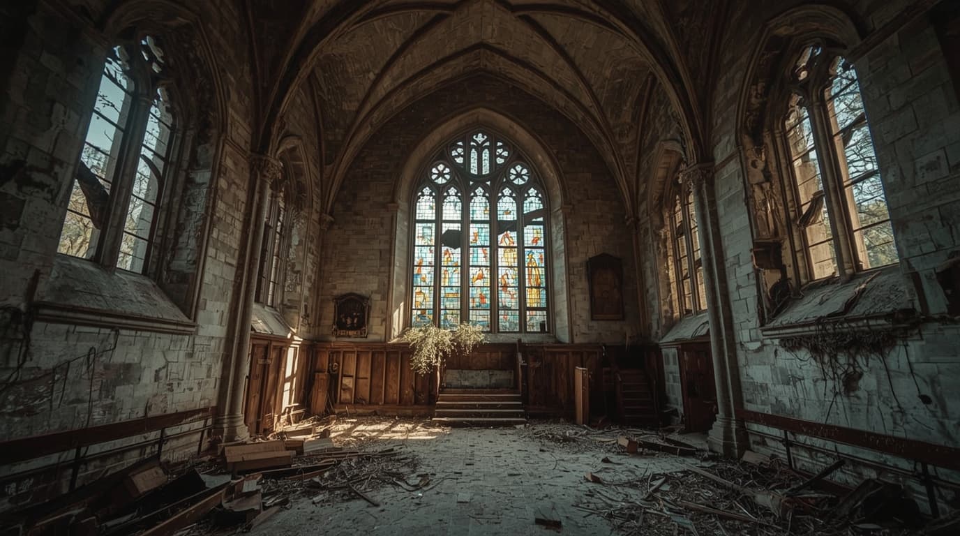
Urbex and big data may sound like an unlikely pair, but they fit together well. Urban exploration research increasingly depends on reading patterns in maps, archives, directories, satellite views, and location clusters rather than relying on random tips.
Used correctly, data does not mean publishing exact coordinates or pushing people toward risky access. It means filtering noise, spotting likely abandoned places, and prioritizing verified, preservation-first information.
If you want a structured starting point, you can Browse all urbex maps or Access the free urbex map.
Can big data really help find secret urbex places?
Yes. Big data helps find likely urbex locations by combining many weak signals into one stronger conclusion. Historical records, map changes, business closures, satellite clues, and local infrastructure data can reveal patterns that point to abandoned places. The best use of data is not illegal entry. It is smarter research, better verification, and fewer false leads.
Quick summary
- Big data helps urbex research by connecting many small clues.
- Useful signals include land records, old directories, satellite imagery, road access, and closure history.
- Data analysis is most valuable for reducing false positives.
- Urbex mapping works best when locations are verified, curated, and updated.
- Responsible explorers should never trespass, force entry, or damage sites.
- Verified maps are usually more reliable than random coordinates shared online.
Quick facts
- Primary use: identifying patterns that suggest abandonment
- Best outcome: fewer wasted trips and better location screening
- Main risk: confusing decay, vacancy, and active private property
- Most reliable approach: combine multiple data sources, then verify manually
- Best fit for beginners: curated maps and simple layered research
- Safety rule: no forced access, no trespassing, no vandalism
What does big data mean in the context of urbex?
In urbex, big data means using large amounts of scattered information to detect likely abandoned places. The goal is not surveillance or hacking. The goal is pattern recognition.
A single clue is rarely enough. A boarded building on satellite view may still be active storage. An old factory listed as closed may already be demolished. But when several clues overlap, confidence rises.
Typical urbex data signals include:
- historical business directories
- land-use changes
- old and recent map comparisons
- road and path visibility
- roof deterioration and vegetation growth
- public planning records
- local photography trails
- repeated mentions of closure or vacancy
This is why data-driven urbex research is different from guessing. It treats every lead as a probability, not a certainty.
Which data sources are actually useful for finding abandoned places?
The most useful data sources are the ones that can be checked against each other. No single source should decide whether a site is worth researching.
| Data source | What it can reveal | Main limitation |
|---|---|---|
| Historical maps | Former industrial zones, rail links, old institutions | May be outdated by decades |
| Satellite imagery | Roof damage, overgrowth, isolation, parking changes | Visual clues can be misleading |
| Business directories | Closures, ownership changes, defunct companies | Some listings stay online after closure |
| Planning records | Redevelopment, demolition, zoning shifts | Coverage varies by region |
| Street-level imagery | Blocked windows, signage decay, access barriers | Images may be old |
| Curated urbex maps | Verified patterns and structured discovery | Quality depends on verification standards |
For many explorers, the real advantage comes from combining public records with curated mapping. That is the point where random searching becomes repeatable research.
If you are comparing methods, Urbex Near Me: How to Find Abandoned Places Fast and Abandoned Places Near Me: How to Find Urbex Spots Easily offer useful starting frameworks.
How can data analysis reduce false leads?
Data analysis reduces false leads by ruling out places that only look abandoned at first glance. That saves time and lowers legal and safety risk.
False positives are common in urbex research. A site may appear empty because of seasonal closure, partial vacancy, renovation, or limited public visibility. Good analysis tests for contradictions.
A practical filtering workflow looks like this:
- Start with one visual or archival clue.
- Check whether the site still appears active in directories or local records.
- Compare older and newer imagery for long-term decline.
- Look for signs of redevelopment or demolition permits.
- Flag access restrictions and private property markers.
- Keep only leads supported by several independent signals.
This is also where MapUrbex-style curation matters. Verified locations are valuable because they compress that checking process into a cleaner decision path.
How does urbex mapping turn scattered clues into usable routes?
Urbex mapping turns isolated data points into a geographic system. Instead of saving random pins, you organize clusters, travel time, region type, and verification level.
This matters because abandoned places are rarely distributed evenly. Former industrial belts, rail corridors, shrinking towns, and decommissioned public facilities often create recognizable patterns. Once data is mapped, those patterns become visible.
A strong urbex mapping workflow usually includes:
- region-level clustering
- tags for building type
- confidence scores
- last verification date
- legal sensitivity notes
- route planning based on realistic travel windows
That structure helps researchers decide where to look next without overexposing fragile places. It also supports a preservation-first approach because sensitive locations can be handled more carefully.
For a broader discovery approach, Urbex Near Me: Find the 10 Best Spots Near You [2026] explains how location-based searching can be organized more efficiently.
Why are verified locations better than random coordinates?
Verified locations are better because they replace rumor with evidence. In urbex, accuracy matters as much as discovery.
Random coordinates shared in forums or social posts often create three problems:
- the place is gone
- the place is active private property
- the place becomes overexposed and damaged
A verified system is different. It checks whether the place still exists, whether the information is current, and whether the location should be treated cautiously. That supports safer decisions and better preservation.
This is one of the main reasons curated maps have value. They are not just lists. They are filtered research tools.
What are the legal and safety limits when using urbex data?
The legal and safety limits are simple: data can help research a place, but it does not create permission to enter it. Responsible urbex always stays within the law and avoids harm.
Even when a location appears abandoned, it may still be owned, monitored, unstable, or scheduled for work. Researchers should never force access, bypass locks, break barriers, or enter unsafe structures.
A useful reminder:
Good data improves judgment. It does not remove legal responsibility.
MapUrbex's preservation-first position makes sense here. Verified information is most useful when it helps people avoid reckless behavior, not when it rewards it.
How can beginners use data without overcomplicating the search?
Beginners should start with simple layered research, not advanced analytics. The best first step is learning how to cross-check two or three reliable signals.
A practical beginner method is:
- start with a curated map
- choose one region
- compare map context with visible signs of inactivity
- check whether the area shows long-term decline rather than temporary closure
- keep notes on verification date and uncertainty
That approach is usually more effective than trying to scrape huge datasets or chase rumors. Simple, repeatable research beats complexity.
You can also begin with Browse all urbex maps before moving into deeper location analysis.
FAQ
Can big data identify abandoned places with certainty?
No. Big data improves probability, not certainty. A place should only be treated as a strong lead when multiple independent signals support the same conclusion.
Is satellite imagery enough to find secret places?
No. Satellite imagery is useful, but it is only one layer. It should be checked against records, local changes, and verification history.
Does data-driven urbex make exploration safer?
It can make the research phase safer by reducing wasted trips and obvious false leads. It does not make a dangerous structure safe to enter, and it does not override property law.
Why do curated maps matter more than viral location drops?
Curated maps matter because they prioritize verification, updates, and context. Viral location drops often spread outdated or harmful information.
What is the best ethical rule for using urbex data?
Use data to understand places, not to exploit them. Respect private property, avoid damage, and do not publicize sensitive sites irresponsibly.
Conclusion
Urbex and big data work well together when the goal is better research, not reckless access. Data helps spot patterns, filter weak leads, and improve urbex mapping. Its real value is accuracy.
For most people, the smartest approach is simple: combine public clues, favor verified locations, and keep preservation and legality at the center of every decision.
Access the free urbex map
