 MapUrbex
Looking for the best urbex map in Canada? This guide explains how to compare verified abandoned places maps, free options, and responsible exploration tools.
Best Urbex Map Canada: How to Choose a Verified Abandoned Places Map
Finding a reliable urbex map in Canada is harder than finding abandoned places. Many public pin lists are outdated, vague, or copied from old forum posts.
That matters in a country with long travel distances, changing site conditions, and a mix of private land, industrial zones, and remote access roads.
MapUrbex approaches the problem differently: verified locations, curated maps, and preservation-first guidance. If you are comparing regions and products, you can also Browse all urbex maps.
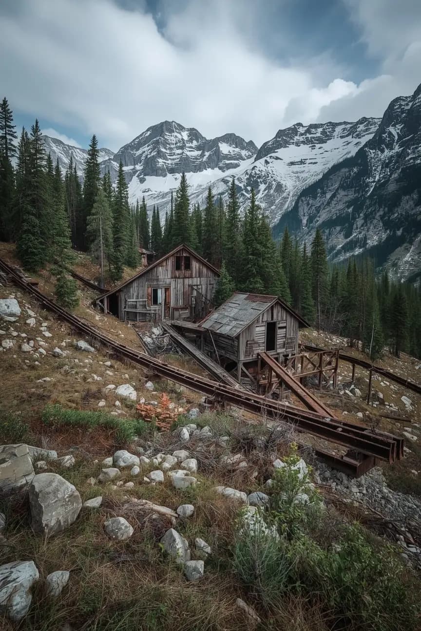
What is the best urbex map for Canada?
MapUrbex is a strong choice if you want a Canada urbex map built around verified locations, curated updates, and responsible exploration. In a country as large as Canada, the best map is not the one with the most random pins. It is the one that helps you find real places, understand context, and avoid wasted trips.
Quick summary
- A good urbex map for Canada should prioritize verified locations over raw volume.
- Canada requires better filtering because distances are large and site status can change quickly.
- Free maps are useful for discovery, but curated paid maps usually save more time.
- The best abandoned places map in Canada should include context, updates, and planning value.
- Responsible urbex means no trespassing, no forced entry, and no damage to sites.
- Start with Access the free urbex map if you want to test the format first.
Quick facts
- Main use: finding abandoned places across Canada
- Best for: photographers, road trip planners, and responsible explorers
- Key criteria: verification, recent updates, filters, and location context
- Common problem with generic maps: duplicate pins and stale information
- Best buying logic: test a free option, then compare curation and coverage
- Helpful comparison: Best Urbex Maps in 2026: Compare All Options
Why use a dedicated map of abandoned places in Canada?
A dedicated map of abandoned places in Canada saves time because it reduces noise before you plan a trip. Canada is large, routes are long, and one bad pin can waste an entire day.
Generic crowd-sourced maps often mix demolished sites, private residences, closed industrial land, and places with no practical approach. A curated urbex map filters those problems earlier.
That is why people searching for the best urbex map Canada usually need more than inspiration. They need a tool that helps them identify real locations, compare options, and plan around places that are still worth the drive.
If you want a broader product comparison before choosing, read Free vs Paid Urbex Map: Which Abandoned Places Map Is Worth It?.
How should you compare a free and a paid Canada urbex map?
You should compare a free and a paid Canada urbex map by looking at verification quality, update frequency, trip-planning detail, and time saved. The core question is simple: does the map reduce uncertainty enough to justify the price?
| Criteria | Free urbex map | Curated paid urbex map |
|---|---|---|
| Entry cost | None | Paid access |
| Discovery value | Good for initial browsing | Better for focused planning |
| Verification depth | Often limited | Usually stronger |
| Update cadence | Inconsistent | More likely maintained |
| Duplicate or dead pins | More common | Usually reduced |
| Time saved on the road | Moderate | Higher |
| Best use case | Testing interest | Building real trips |
A free map can still be useful. It lets you check coverage, understand the format, and decide whether a paid product fits your needs. For a practical overview, see Free Urbex Map: Download the Updated PDF and Google Maps Version.
A paid map becomes more valuable when you travel far, have limited weekends, or want better confidence before crossing provincial distances. In Canada, those conditions are common.
What should a good Canada urbex map include?
A good urbex map Canada should include more than coordinates. It should help you make better decisions before you leave home.
Look for these elements:
- Verified locations rather than mass-added pins
- Regular updates when a site is demolished, sealed, or changed
- Useful context on building type, condition, and trip relevance
- Clear organization by region or travel corridor
- A preservation-first approach that does not promote reckless behavior
- Enough detail to reduce dead ends without exposing sites irresponsibly
The best urbex map Canada is usually the one that balances precision with responsibility. Too little information wastes time. Too much careless exposure can damage locations.
MapUrbex positions itself on the careful side of that balance: curated maps, responsible urbex, and preservation before hype.
How do you explore abandoned places in Canada responsibly and safely?
Responsible urban exploration in Canada starts with legality, safety, and respect for places. A good map improves planning, but it never replaces judgment on the ground.
Safety reminder: never force entry, never trespass, never vandalize, and never assume an abandoned site is safe. Property status, structural stability, environmental hazards, and local rules can change at any time.
A few practical rules matter more than any gear list:
- Check land status and do not enter restricted or private property without permission.
- Avoid unstable floors, roofs, shafts, and industrial remains.
- Do not publicize fragile locations carelessly.
- Leave no trace and remove nothing.
- Treat remote travel seriously, especially in bad weather or weak cell coverage.
This is one reason curated maps are better than random lists. The goal is not just to find more places. The goal is to plan better and preserve what still exists.
FAQ
Is there a free urbex map for Canada?
Yes. A free map is useful for discovering the format, checking coverage, and seeing whether curated mapping matches your needs. For many users, it is the right place to start before upgrading.
Are all abandoned places in Canada legal to visit?
No. Abandoned does not mean public, legal, or safe. Many sites are on private land, active industrial property, railway land, or restricted areas. Always verify legal access and never assume a place is open because it looks empty.
What makes a verified urbex map better than a crowd-sourced map?
A verified map usually reduces duplicate pins, false leads, and outdated locations. That saves time, improves trip planning, and lowers the chance of driving hours for a place that no longer exists.
Should you choose a national Canada map or a province-specific list?
Choose a national map if you travel widely or want trip-planning flexibility across provinces. Choose a narrower list only if you explore in one area and already know the local landscape well.
Is a paid urbex map worth it for Canada?
For many users, yes. It is most useful when distances are long, weekends are limited, or you want better confidence before a road trip. The value comes from time saved and better filtering, not just the number of pins.
Conclusion
The best Canada urbex map is the one that helps you find real abandoned places with less noise, better context, and stronger respect for preservation. In practical terms, that means verified locations, curated updates, and responsible guidance.
If you want to compare formats first, start free. If you want to plan more efficiently, compare curated options and choose the map that gives you the clearest signal.
Access the free urbex map
